Jet-powered Shahed drone reported transiting Cherkasy Oblast, heading northwest, per Ukrainian air monitoring
What happened
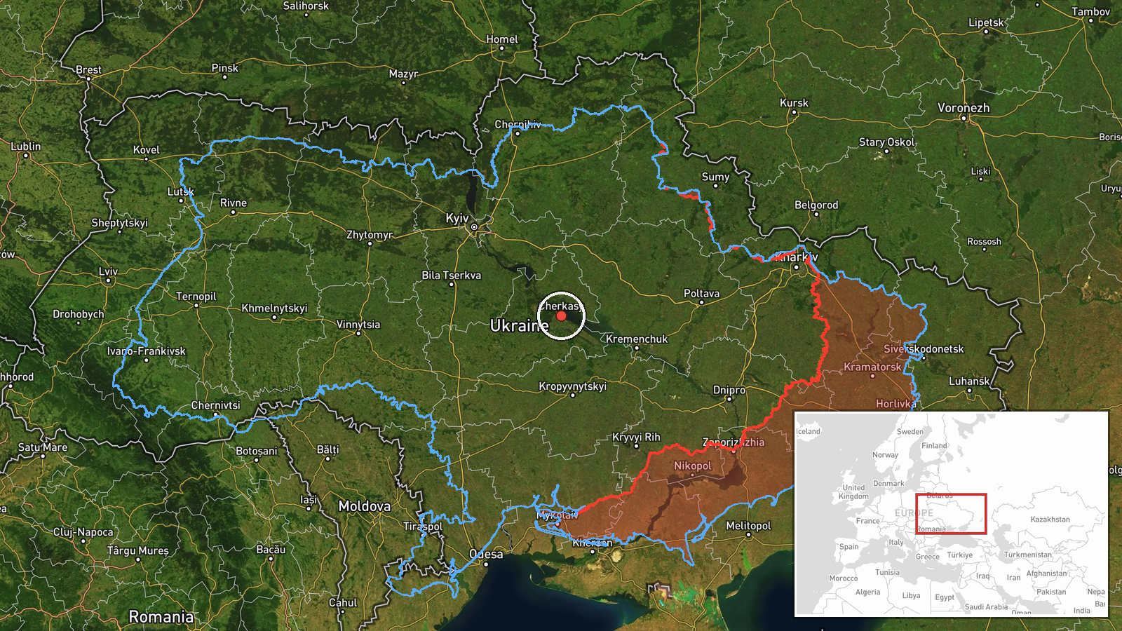
Ukrainian air monitoring reported on the Telegram channel @kpszsu that a single Russian jet-powered Shahed-type drone, identified in the report as a Geran-3, was passing the settlement of Drabiv in Cherkasy Oblast, central Ukraine, and moving in a northwest direction. The original Ukrainian-language post, published at 15:54 UTC on 19 October 2026, uses the wording 'jet-powered drone passing Drabiv' and gives a heading but no altitude, speed, or impact. No strike, damage, or casualties are mentioned. The event is recorded as a transit observation rather than an attack, and it rests on a single channel for now.
Context and assessment
Cherkasy Oblast lies on the Dnipro in central Ukraine, and the recent reports place this transit inside a wider corridor of activity. Earlier on 18 October, a Banderol mini cruise missile was reported passing Myrhorod and then moving toward the Zolotonosha district, with further single-missile reports over Zolotonosha and toward Cherkasy Oblast in the same evening window. On 19 October, air monitoring reported two or more Geran-3 drones passing Cherkasy Oblast heading west in the early morning, and later that day a single Geran-3 was reported moving from Poltava Oblast toward Cherkasy Oblast. Taken together, these reports suggest repeated movement of long-range drones and cruise missiles across Poltava and Cherkasy in a short time frame. Operationally, such patterns may indicate routing toward distant targets, reconnaissance activity, or the testing of air defence coverage in the area. The reports do not, on their own, identify the intended target of this particular drone.
Sources and confidence
The event is based on one Telegram channel, @kpszsu, and no second independent outlet or official confirmation appears in the data, so the source count is one. The confidence score of 8.0 reflects the channel's role as a regular air monitoring feed and the fact that related reports from the same window follow a consistent pattern, but it is held below the maximum because the observation is unverified by any second source. Confidence would rise with corroboration from other air monitoring feeds, regional military administration statements, or open-source flight tracking. It would fall if later updates revised the drone type, heading, or location.
Location
The location is recorded at oblast level, with coordinates at 49.44 N, 32.06 E, reflecting the Cherkasy Oblast region rather than an exact point, and the precision is marked as region with low location confidence. The named place in the source, Drabiv, is a small settlement in Cherkasy Oblast, so the drone is reported to have passed near that community rather than over a verified point. The oblast is largely agricultural flat terrain drained by the Dnipro and its tributaries, and the river corridor is a common navigation reference for low-flying drones.
Related events nearby
- Ukrainian air monitoring: 1 Russian jet-powered Shahed (Geran-3) drone from Poltava Oblast toward Cherkasy Obl2026-10-19 16:00 UTC · Drone Transit · Cherkasy Oblast, Ukraine
- Ukrainian air monitoring: 2+ Russian jet-powered Shahed (Geran-3) drones passing Cherkasy Oblast, heading west2026-10-19 07:26 UTC · Drone Transit · Cherkasy Oblast, Ukraine
- Ukrainian air monitoring: 1 Russian Banderol mini cruise missile passing Myrhorod, heading toward Cherkasy Obl2026-10-18 19:37 UTC · Cruise Missile · Cherkasy Oblast, Ukraine
- Ukrainian air monitoring: 1 Russian Banderol mini cruise missile passing Myrhorod, heading toward Zolotonosha 2026-10-18 19:19 UTC · Cruise Missile · Zolotonosha district, Ukraine
- Ukrainian air monitoring: 1 Russian Banderol mini cruise missile over Zolotonosha district.2026-10-18 18:48 UTC · Cruise Missile · Zolotonosha district, Ukraine
▶ View this event on the live map

Intel Mapper aggregates open-source reports from monitored Telegram and X channels, geolocates them, cross-checks duplicates across sources and assigns a confidence score. Entries are updated as new confirmations arrive. Read how we verify events.