Ukrainian interceptor drone reportedly downs Russian Shahed-type UAV; location not reported
What happened
A single channel, the X account @ConflictTR, reported on October 20, 2026 at 10:11 UTC that a Ukrainian interceptor drone struck and downed a Russian Shahed-type unmanned aerial vehicle somewhere in Ukraine. The original Turkish-language post states that the interceptor hit a Russian Shahed-type UAV and links to the post, and the event summary restates this as a shootdown. Neither the post nor the event record gives a settlement, oblast, time of engagement, or any assessment of debris or intended target. The event is classed as a drone shootdown with Russia listed as the actor, and no origin location is recorded for the attacking drone. Because the report carries no further detail, the account rests entirely on that one source's wording.
Context and assessment
Ukraine's air defenses have faced sustained waves of long-range drones launched by Russia, and the surrounding records show the scale of that pressure. On the same day, an overnight attack reportedly involved 165 Shahed-type, Gerbera and decoy drones, with 115 shot down or suppressed, 20 still airborne at the time of reporting, and impacts recorded at 30 locations. A General Staff report issued earlier that morning counted 8,784 kamikaze drones over 24 hours, and an October 19 summary put the interception rate for October 18 at 90.28 percent, with 418 of 463 strike drones downed. Against that backdrop, a Ukrainian interceptor drone downing a Shahed-type aircraft fits a broader pattern in which cheaper, purpose-built counter-drone systems are used alongside guns and missiles to reduce the cost of defense. Operationally, a single reported kill says little about overall effectiveness, but it may indicate that interceptor drones are being employed in the same airspace as the mass raids. Analysts would generally treat it as one data point within a much larger campaign rather than a turning point.
Sources and confidence
Only one channel, the X account @ConflictTR, carries this report, and the event record lists it as the sole source with a source count of one. No second outlet, official Ukrainian or Russian statement, or imagery was found in the data to corroborate the shootdown. The confidence score of 6.3 reflects that single-channel basis, the absence of a named location, and a normal location confidence rating. Confidence would rise if a Ukrainian air command statement, a Russian defense ministry acknowledgement, wreckage photographs, or geolocated video appeared. It would fall if the account proved to be a repost of older footage or an unverified claim.
Location
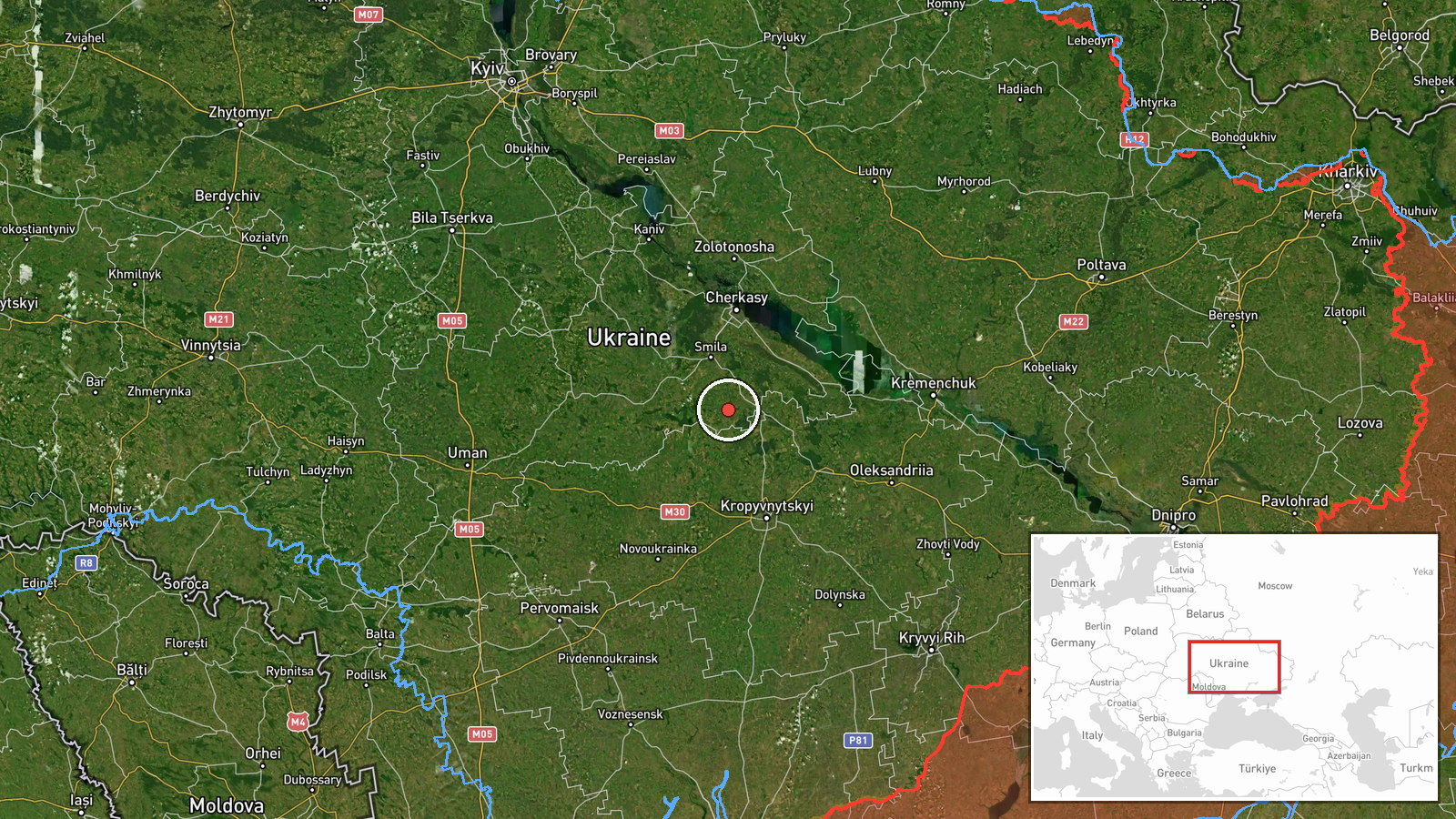
The location is recorded only as Ukraine, with coordinates of 49.0 north and 32.0 east at settlement precision. That point appears to be a generic placement in central Ukraine rather than a confirmed engagement site, since the report names no settlement. The marker sits in the central part of the country, within the wider Dnipro River basin region. Treat the point as approximate and not as the location of the shootdown, debris, or any impact.
Related events nearby
- Overnight Russian attack of 165 Shahed-type, Gerbera and decoy drones; 115 shot down or suppressed, 20 still a2026-10-20 05:10 UTC · Air Defense · Ukraine
- Ukrainian General Staff reports 24h Russian attacks: 1 missile strike, 63 airstrikes, 217 guided glide bombs, 2026-10-20 04:07 UTC · Report · Ukraine
- Ukrainian air monitoring announces the all-clear: the threat of Russian ballistic missile use has ended.2026-10-20 00:24 UTC · Siren · Ukraine (nationwide)
- Ukrainian air monitoring warns of a threat of Russian ballistic missile use against Ukraine; no specific impac2026-10-20 00:10 UTC · Ballistic Missile · Ukraine (nationwide threat)
- Ukrainian air defense downed 418 of 463 Russian strike drones (Shahed, Parodiya, Gerbera, Banderol, Italmas) o2026-10-19 15:02 UTC · Air Defense · Ukraine (location not reported)
▶ View this event on the live map

Intel Mapper aggregates open-source reports from monitored Telegram and X channels, geolocates them, cross-checks duplicates across sources and assigns a confidence score. Entries are updated as new confirmations arrive. Read how we verify events.