Ukrainian Air Force reports Russian Geran-3 jet drones heading toward Kalynivka, Kyiv Oblast
What happened
Ukraine's air monitoring channel on Telegram (@kpszsu) reported at 10:33 UTC on 20 October 2026 that two or more Russian jet-powered Shahed, or Geran-3, drones were heading toward Kalynivka in Kyiv Oblast. The original Ukrainian post describes jet-type unmanned aerial vehicles on a course toward Kalynivka and Vasylkiv. The wording reports movement only. It does not describe impacts, casualties, or damage, and no strike is confirmed in the source. The event is logged as a Drone Transit attributed to Russia, based on a single channel.
Context and assessment
Kyiv Oblast sits on the approaches to the capital, and the Kalynivka and Vasylkiv area lies southwest of the city, where drone tracks regularly cross on routes toward Kyiv and surrounding industrial and logistics sites. The related events on the same date show a sequence of single-drone alerts across the capital region: a track toward Desna at 00:27 UTC, Brovary at 00:30, Velyka Dymerka near Brovary at 03:29, Pechersk in central Kyiv at 10:01, and Rembaza at 10:18, all preceding this Kalynivka report. The pattern suggests multiple small, staggered flights moving through several corridors around the capital over the course of the morning rather than one large salvo. Operationally, this may indicate efforts to stretch air defense coverage across axes, route drones around known interceptor positions, or test responses at different points. The data does not establish intent, and the alerts may also reflect routine tracking of long-range drones on overlapping paths.
Sources and confidence
The report comes from one Telegram channel, @kpszsu, which relays Ukrainian Air Force monitoring. There is no cross-confirmation from a second independent outlet in the provided data. The confidence score of 8.0 reflects the official-style origin of the channel, the clear settlement reference, and consistent related alerts in the same region. It is held below the maximum because the report is single-sourced, describes an aerial transit rather than a verified impact, and the course may change. Confidence would rise with independent corroboration, official follow-up on impacts or interceptions, or regional authority statements. It would fall if later updates revised the target direction or no further tracks appeared.
Location
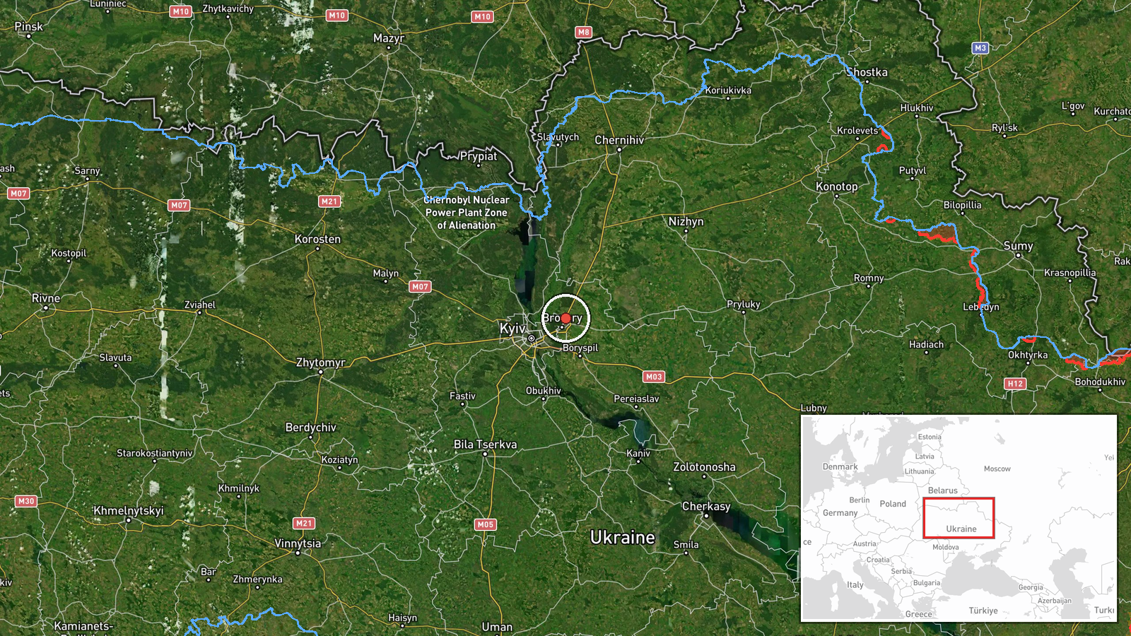
The coordinates correspond to a settlement-level point for Kalynivka. The name is shared by several settlements in Ukraine, so the Kyiv Oblast reference in the source and the mention of nearby Vasylkiv were used to place it. The setting is a lowland area of the Dnipro basin southwest of Kyiv, with farmland, small rural settlements, and road and rail links toward the capital. The precision is adequate for regional mapping but not for identifying specific facilities.
Related events nearby
- Ukrainian air monitoring: 1 Russian jet-powered Shahed (Geran-3) drone heading toward Brovary.2026-10-20 00:30 UTC · Drone Transit · Brovary, Ukraine
- Ukrainian air monitoring: Russian jet-powered Shahed (Geran-3) drone tracked toward Velyka Dymerka/Brovary, Ky2026-10-20 03:29 UTC · Drone Transit · Velyka Dymerka, Brovary, Ukraine
- Ukrainian air monitoring: 1 Russian jet-powered Shahed (Geran-3) drone heading toward Desna.2026-10-20 00:27 UTC · Drone Transit · Desna, Ukraine
- Ukrainian air monitoring: 1 Russian jet-powered Shahed (Geran-3) drone heading toward Rembaza, Kyiv.2026-10-20 10:18 UTC · Drone Transit · Rembaza, Kyiv, Ukraine
- Ukrainian air monitoring: 2+ Russian jet-powered Shahed (Geran-3) drones heading toward Vyshhorod.2026-10-20 11:42 UTC · Drone Transit · Vyshhorod, Ukraine
▶ View this event on the live map

Intel Mapper aggregates open-source reports from monitored Telegram and X channels, geolocates them, cross-checks duplicates across sources and assigns a confidence score. Entries are updated as new confirmations arrive. Read how we verify events.