Russian Geran-3 drone tracked toward Velyka Dymerka and Brovary, Kyiv Oblast
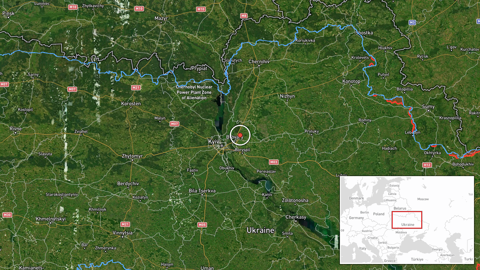
What happened
Ukrainian air monitoring reported, via the Telegram channel @kpszsu, that one Russian jet-powered Shahed-type drone, identified as a Geran-3, was tracked toward Velyka Dymerka, near Brovary in Kyiv Oblast, at about 03:29 UTC on 20 October 2026. The original Ukrainian wording, 'На Велику Димерку/Бровари', is a brief directional notice naming the settlement and the nearby town together. It indicates the drone's heading rather than a confirmed impact or detonation. The report does not describe damage, casualties, or interception. The event is classified as a drone transit, meaning a track was followed through the airspace rather than a strike recorded at the location. Attribution to Russia rests on the Ukrainian military's identification of the munition type and the launch pattern.
Context and assessment
Velyka Dymerka sits on the approaches to Brovary, the eastern satellite city of Kyiv, which makes it a useful waypoint on any route toward the capital's eastern districts and their energy and logistics infrastructure. The related events show a sequence over roughly sixteen hours. On 19 October, a single Geran-3 was logged from Chernihiv Oblast heading toward Desna at 07:23, then from Kyiv Oblast toward Velyka Dymerka at 07:31. Shortly after midnight on 20 October, separate tracks were reported toward Desna at 00:27 and Brovary at 00:30. The pattern suggests drones entering from the north and northeast, following the Desna corridor and moving southward toward Kyiv, with individual airframes reported at successive waypoints. Earlier on 19 October, Russia reportedly launched an overnight multi-wave attack of 16 ballistic missiles and more than 200 drones against Kyiv and its oblast, with reported damage to energy sites, a clinic and a school. Operationally, repeated single-drone tracks over the same settlements may reflect dispersed reconnaissance, decoy use alongside larger salvos, or sustained pressure on air defence tracking capacity. The data alone does not establish which. Such tracks are best read as indicators of threat movement rather than confirmed targets.
Sources and confidence
The event rests on a single channel, Telegram @kpszsu, which the data identifies as the Ukrainian air monitoring channel. No second outlet or independent sensor report appears in the data, so cross-confirmation is absent and the source count is one. The confidence score of 8.0 reflects that the channel gives a specific munition type, timestamp and location, while the single-source status and brief, transit-only wording keep it below the top of the scale. Confidence would rise with corroboration from a second monitoring source, radar or flight-tracking data, or aggregation of the same warning by independent outlets. It would fall if later reporting contradicted the track or reclassified the drone.
Location
The location was assigned at settlement precision, using the named village of Velyka Dymerka in Brovary Raion, Kyiv Oblast, with coordinates near 50.59 north, 30.90 east, rated high confidence. A drone track names a waypoint rather than a fixed target, so the point marks the reported heading. The setting is flat to gently undulating terrain east of Kyiv, with the Desna and Dnipro river valleys nearby and extensive floodplain and forest belts in the surrounding area. Brovary itself lies a short distance to the west.
Related events nearby
- Ukrainian air monitoring: 1 Russian jet-powered Shahed (Geran-3) drone from Kyiv Oblast toward Velyka Dymerka.2026-10-19 07:31 UTC · Drone Transit · Velyka Dymerka, Ukraine
- Ukrainian air monitoring: 1 Russian jet-powered Shahed (Geran-3) drone heading toward Brovary.2026-10-20 00:30 UTC · Drone Transit · Brovary, Ukraine
- Ukrainian air monitoring: 1 Russian jet-powered Shahed (Geran-3) drone heading toward Desna.2026-10-20 00:27 UTC · Drone Transit · Desna, Ukraine
- Ukrainian air monitoring: 1 Russian jet-powered Shahed (Geran-3) drone from Chernihiv Oblast toward Desna.2026-10-19 07:23 UTC · Drone Transit · Desna, Ukraine
- Russia launched overnight multi-wave ballistic attack: 16 ballistic missiles targeting Kyiv and Kyiv Oblast, p2026-10-19 04:20 UTC · Ballistic Missile · Chernihivska metro station, Kyiv, Ukraine
▶ View this event on the live map

Intel Mapper aggregates open-source reports from monitored Telegram and X channels, geolocates them, cross-checks duplicates across sources and assigns a confidence score. Entries are updated as new confirmations arrive. Read how we verify events.