Ukrainian air monitoring reports a jet-powered Shahed drone heading toward Pochaina, Kyiv
What happened
Ukrainian air monitoring posted on Telegram (@kpszsu) at 12:42 UTC on 20 October 2026 that a single jet-powered Shahed-type drone, identified in the report as a Geran-3, was heading toward Pochaina, a residential area in the Obolon district of northern Kyiv. The original Ukrainian wording, 'Реактивний БпЛА курсом на Почайну/Оболонь,' describes a jet-powered UAV on a course toward Pochaina and Obolon. It does not state a strike, impact, or damage. The entry is classed as a drone transit. It is one of several monitoring updates from the same morning that tracked Geran-3 drones across Kyiv and Kyiv Oblast, beginning with a report at 09:58 UTC.
Context and assessment
Pochaina sits within the Obolon district, a dense residential part of Kyiv, so a drone heading there is significant even without a confirmed impact. The five earlier entries in the related sequence are all drone transit reports for Kyiv city and Kyiv Oblast, running from 09:58 to 12:34 UTC. They name Boyarka, Brovary, Makariv and several points within Kyiv, which suggests a multi-direction raid involving more than one drone rather than a single isolated track. Makariv lies in Kyiv Oblast, so the drones were moving across a wide arc around the capital. The Geran-3 is a jet-powered variant of the Shahed design, and its higher speed compared with propeller-driven models would generally shorten warning time for civilians and air defence crews. Reports naming a specific district may reflect a drone's observed heading, or they may reflect an intended target. Monitoring messages of this kind usually cannot distinguish between the two, so the destination named here should be read as the reported heading, not as confirmed target selection.
Sources and confidence
The event rests on one channel, the Telegram account @kpszsu, which is associated with Ukraine's Air Force and is the main public source for air-threat warnings. No independent outlet, official statement, or local report confirming the track appears in the supplied data, and the confidence score of 8.0 reflects a credible official channel with a clear timestamp and a consistent pattern of related entries, offset by the single-source basis. Confidence would rise with corroboration from Kyiv city authorities, regional military administrations, or visual and acoustic reports from the area. It would fall if later updates reclassify the track, reroute it away from Pochaina, or show that it was intercepted or lost.
Location
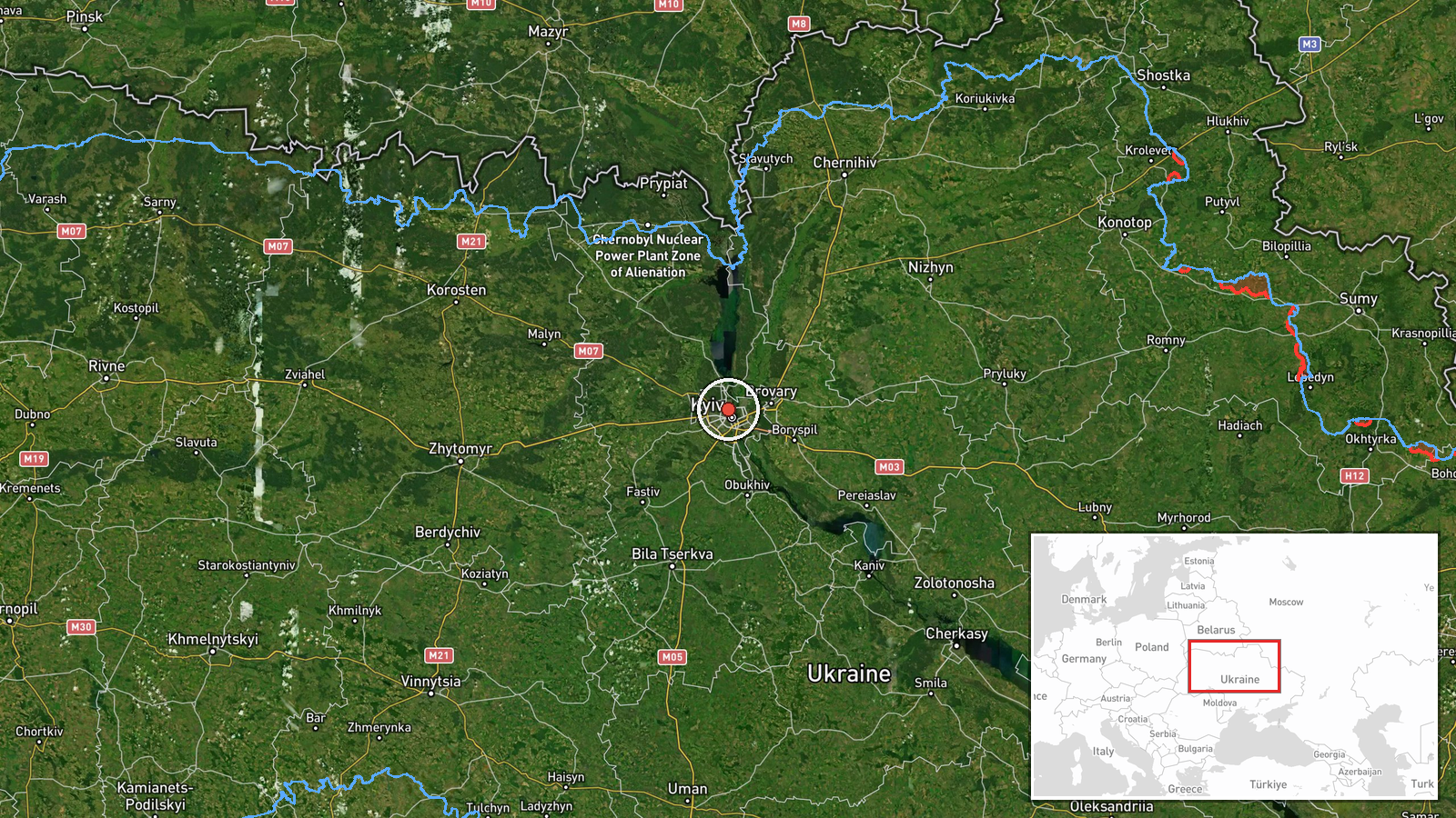
The location is recorded at settlement precision, using the named district of Pochaina within Obolon in Kyiv, with coordinates at about 50.487 N, 30.497 E. These points mark the named area, not the drone's position at the time of the report. Pochaina lies on the western, or right, bank of the Dnipro in northern Kyiv, close to the river and to the wider Obolon residential area. The river and open floodplain shape how air-defence coverage and drone approaches are arranged across the city.
Related events nearby
- Ukrainian air monitoring: 1 Russian jet-powered Shahed (Geran-3) drone heading toward Pochaina, Kyiv.2026-10-20 12:34 UTC · Drone Transit · Pochaina, Kyiv, Ukraine
- Ukrainian air monitoring: 2+ Russian jet-powered Shahed (Geran-3) drones over Kyiv.2026-10-20 12:07 UTC · Drone Transit · Kyiv, Ukraine
- Ukrainian air monitoring: 2+ Russian jet-powered Shahed (Geran-3) drones over Kyiv Oblast; 1 Russian jet-power2026-10-20 10:26 UTC · Drone Transit · Kyiv Oblast, Ukraine
- Ukrainian air monitoring: 1 Russian jet-powered Shahed (Geran-3) drone passing Brovary, heading toward Kyiv.2026-10-20 10:17 UTC · Drone Transit · Kyiv, Ukraine
- Ukrainian air monitoring: 1 Russian jet-powered Shahed (Geran-3) drone passing Boyarka, heading toward Kyiv.2026-10-20 09:58 UTC · Drone Transit · Kyiv, Ukraine
▶ View this event on the live map

Intel Mapper aggregates open-source reports from monitored Telegram and X channels, geolocates them, cross-checks duplicates across sources and assigns a confidence score. Entries are updated as new confirmations arrive. Read how we verify events.