Jet-powered Shahed drones reported over Kyiv Oblast, one heading toward Makariv
What happened
Ukrainian air monitoring, as posted on the Telegram channel @kpszsu, reported at least two jet-powered Shahed (Geran-3) drones over Kyiv Oblast on 20 October 2026. The original Ukrainian-language post, timestamped 10:26 UTC, described jet-type unmanned aerial vehicles on course for Borodiana, and a separate line said one jet-powered drone was heading toward Makariv, a town in the same oblast. The wording uses the phrase meaning on course for or heading toward, so the aircraft's positions are inferred from stated direction rather than confirmed locations. The post reports movement only and does not describe impacts, casualties, or damage.
Context and assessment
This report fits a sustained sequence of Russian drone movements toward the Ukrainian capital on the same day. Earlier entries in the Intel Mapper series describe a single Geran-3 drone moving from western Chernihiv Oblast toward Kyiv Oblast around 06:22 UTC, followed by single or small-group drones heading toward Kyiv at 06:10 and 09:49, then drones passing Boyarka at 09:58 and Brovary at 10:17. Taken together, the reports show aircraft approaching from the north and west, then spreading across the western, southwestern and eastern approaches to the city over roughly four hours. Jet-powered Geran-3 variants are faster than the older piston-engine Shahed design, and such drones are widely understood to be used in both strike and decoy roles, sometimes in staggered waves intended to stretch air defenses. The spread of headings across several axes may suggest multiple flight paths or probing rather than a single targeted approach, although the data cannot confirm intended targets. Because the reports describe only direction and no impacts, the operational picture remains hedged, and later official statements would be needed to establish what the drones actually struck or whether they were intercepted.
Sources and confidence
The report rests on a single Telegram channel, @kpszsu, which is attributed to Ukraine's Air Force and has a record of posting air-threat updates in this format. No independent outlet, radar feed or second official channel in the supplied data confirms the same drones or headings, so the source count is one. The confidence score of 8.0 reflects the channel's official attribution and the consistency of its timing with the surrounding series of related events, but it is not higher because the single-source basis cannot be independently checked. Confidence would rise with corroboration from additional Ukrainian official statements, regional administration notices or matching reports from other monitoring channels. It would fall if later updates revised the drone count, changed the headings, or were not matched by any reported interception or impact.
Location
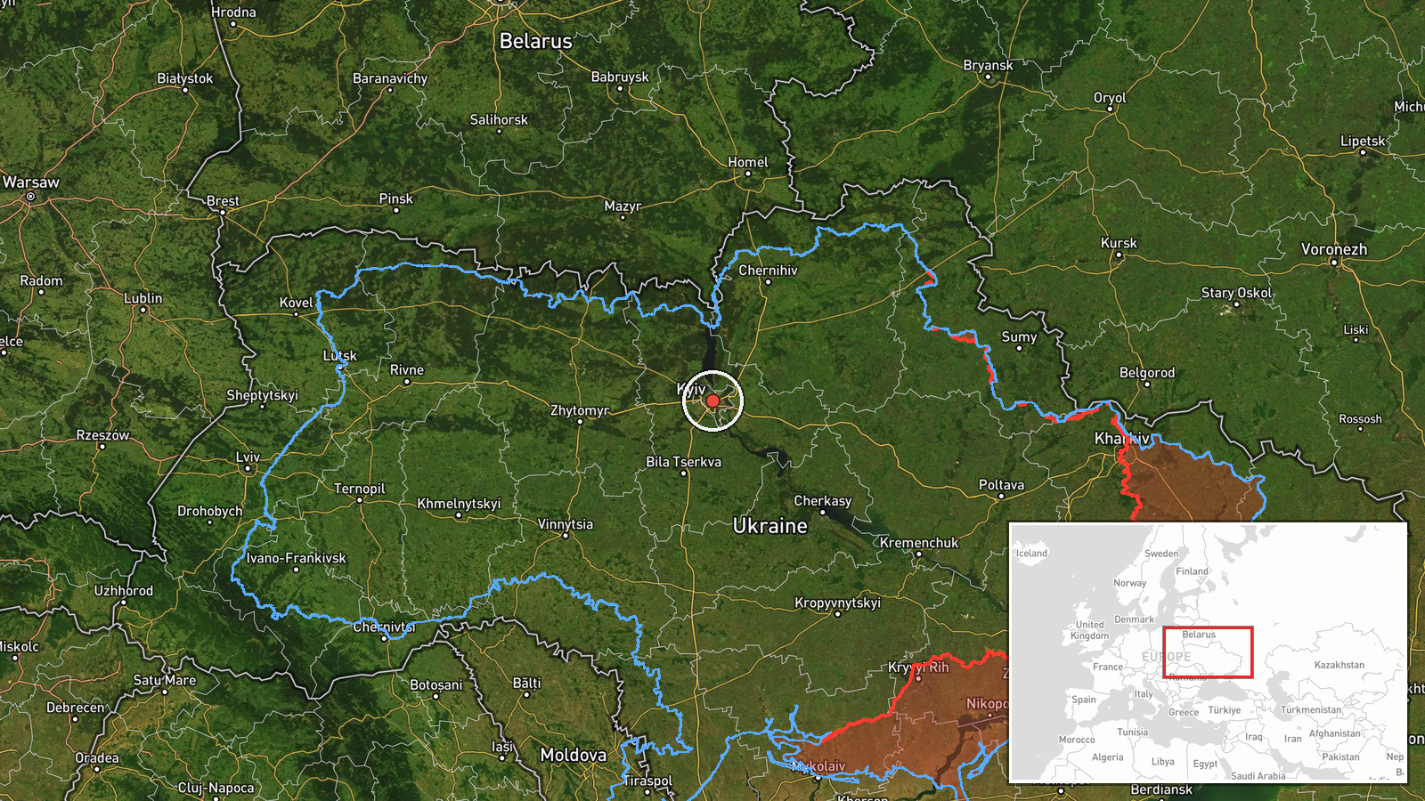
The location is recorded at region level. The post names only Kyiv Oblast and two towns, Makariv and Borodiana, which are not pinpointed, so the map point at 50.45, 30.52 sits near central Kyiv and serves as a regional anchor rather than a precise position. Kyiv Oblast surrounds the capital on relatively flat terrain crossed by the Dnipro River to the east and several smaller river valleys to the north and west. Makariv and Borodiana lie to the west and northwest of the city, along routes that drones commonly take into the capital region.
Related events nearby
- Ukrainian air monitoring: 1 Russian jet-powered Shahed (Geran-3) drone passing Brovary, heading toward Kyiv.2026-10-20 10:17 UTC · Drone Transit · Kyiv, Ukraine
- Ukrainian air monitoring: 1 Russian jet-powered Shahed (Geran-3) drone passing Boyarka, heading toward Kyiv.2026-10-20 09:58 UTC · Drone Transit · Kyiv, Ukraine
- Ukrainian air monitoring: 2+ Russian jet-powered Shahed (Geran-3) drones heading toward Kyiv.2026-10-20 09:49 UTC · Drone Transit · Kyiv, Ukraine
- Ukrainian air monitoring: 1 Russian jet-powered Shahed (Geran-3) drone from western Chernihiv Oblast toward Ky2026-10-20 06:22 UTC · Drone Transit · Kyiv Oblast, Ukraine
- Ukrainian air monitoring: 1 Russian jet-powered Shahed (Geran-3) drone heading toward Kyiv.2026-10-20 06:10 UTC · Drone Transit · Kyiv, Ukraine
▶ View this event on the live map

Intel Mapper aggregates open-source reports from monitored Telegram and X channels, geolocates them, cross-checks duplicates across sources and assigns a confidence score. Entries are updated as new confirmations arrive. Read how we verify events.