Ukrainian air monitoring reports one jet-powered Shahed drone heading toward Kyiv from the south
What happened
Ukrainian air monitoring reported one Russian jet-powered Shahed drone, identified in the event summary as a Geran-3, heading toward Kyiv at about 06:10 UTC on 20 October 2026. The original Ukrainian-language post, marked with a jet-drone emoji, reads roughly as a jet-powered UAV toward Kyiv from the south. The notice is a transit report rather than a confirmed impact. It records the direction and track of a single aircraft but does not describe any detonation, damage, casualties, or interception. The report was published on one Telegram channel, @kpszsu, and is filed under the Drone Transit category with Russia listed as the actor. Warnings of this kind are usually issued while aircraft remain in flight, so later updates could change the picture.
Context and assessment
Kyiv is Ukraine's capital and seat of government, and drone tracks toward the city receive close public attention because of the potential for damage to government, military, energy, and civilian infrastructure. This entry sits within a run of similar reports. Between 23:36 and 23:55 UTC on 19 October, Ukrainian air monitoring logged single Geran-3 drones first heading toward Kyiv Oblast and then passing Vyshhorod on the Dnipro northwest of the city. A further report at 06:22 UTC described another Geran-3 leaving western Chernihiv Oblast toward Kyiv Oblast, which is later than this entry, so it may be a separate aircraft or a continuation of the same track; the sources do not say. The pattern suggests sustained, low-volume launches that approach the capital from several directions over a number of hours rather than one large salvo. Such single-aircraft tracks are often used to stretch air defence response, to probe reaction times, or to keep sirens active across a wide area. The same period also included a General Staff casualty report and a political statement by President Zelensky about delayed support, though those items do not bear directly on this track.
Sources and confidence
The report comes from one Telegram channel, @kpszsu, and no independent outlet is listed as reporting the same track in the dataset. The confidence score of 8.0 is high for a single-source feed but reflects a source that publishes frequent, time-stamped air-monitoring updates consistent with related entries in the same period. The score would rise with confirmation from a second Ukrainian official channel, an air-force statement, or a wire report with matching timing. It would fall if later updates revised the direction or aircraft count, or if the drone was reported lost or diverted without reaching the city.
Location
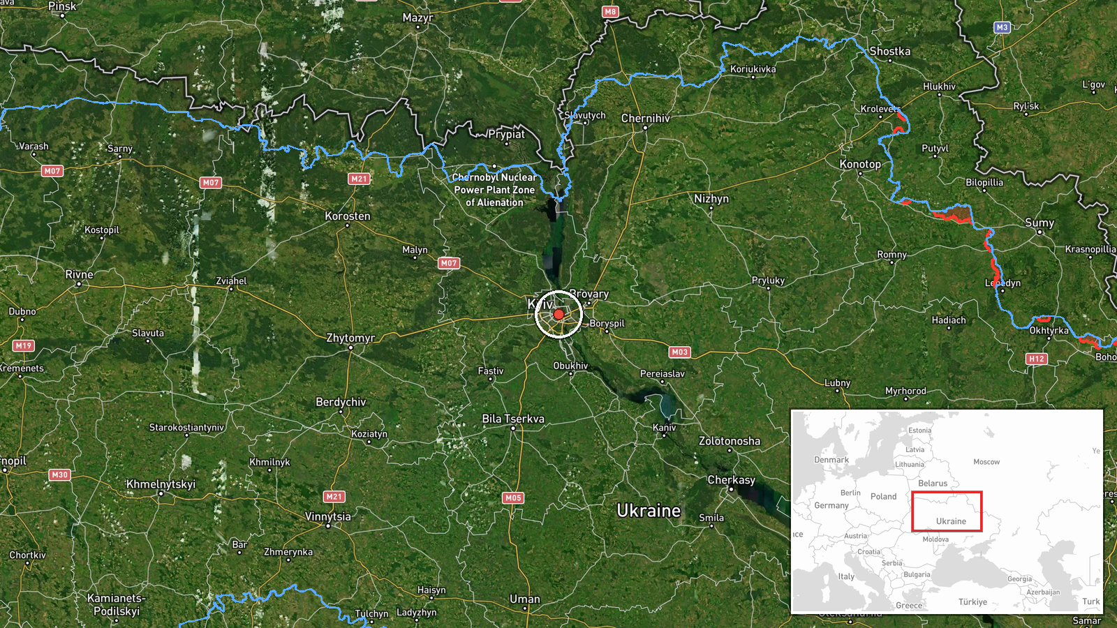
The location is recorded at settlement precision, using central Kyiv coordinates of approximately 50.45 N, 30.52 E, and is marked as high confidence. The point reflects the city as a whole rather than a specific facility, since the report names Kyiv rather than a target. Kyiv lies on both banks of the Dnipro River, with higher ground on the right bank and lower-lying areas and the Desna River system to the east. The city sits within Kyiv Oblast, which is the area most often crossed by drone tracks approaching from the north and west.
Related events nearby
- Ukrainian air monitoring: 1 Russian jet-powered Shahed (Geran-3) drone from western Chernihiv Oblast toward Ky2026-10-20 06:22 UTC · Drone Transit · Kyiv Oblast, Ukraine
- Ukrainian General Staff reports 1,560 Russian personnel losses in 24h, plus 9 tanks, 5 AFVs, 42 artillery syst2026-10-20 04:07 UTC · Report · Kyiv, Ukraine
- Ukrainian air monitoring: 1 Russian jet-powered Shahed (Geran-3) drone passing Vyshhorod, heading toward Kyiv.2026-10-19 23:55 UTC · Drone Transit · Kyiv, Ukraine
- Ukrainian air monitoring: 1 Russian jet-powered Shahed (Geran-3) drone heading toward Kyiv Oblast.2026-10-19 23:36 UTC · Drone Transit · Kyiv Oblast, Ukraine
- Zelensky tells US lawmakers a political decision is slowing support to Ukraine, in sharp contrast to battlefie2026-10-19 23:21 UTC · Statement · Kyiv, Ukraine
▶ View this event on the live map

Intel Mapper aggregates open-source reports from monitored Telegram and X channels, geolocates them, cross-checks duplicates across sources and assigns a confidence score. Entries are updated as new confirmations arrive. Read how we verify events.