Jet-powered Shahed drones tracked westward past Doslidnytske in Kyiv Oblast, Ukrainian air monitoring says
What happened
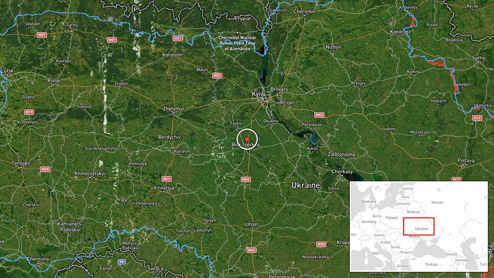
A Ukrainian air monitoring post on Telegram (@kpszsu) reported at 04:17 UTC on 21 October 2026 that at least two jet-powered Shahed-type drones, described in the report as Geran-3, were moving through the Bila Tserkva district of Kyiv Oblast and passing the settlement of Doslidnytske on a westward course. The original Ukrainian wording, which refers to jet-type UAVs passing Doslidnytske heading west, is a transit notice. It reports no impact, damage, or casualties. The phrasing 'passing' and 'heading west' suggests the drones were tracked in flight rather than seen striking a target. The notice comes from a single channel, so it is reportedly accurate to the monitoring feed but has not been independently confirmed.
Context and assessment
Doslidnytske sits in the Bila Tserkva district southwest of Kyiv, an area the drones have crossed repeatedly in the preceding day. Earlier notices in the same data set describe a Geran-3 group moving from eastern Kyiv Oblast toward Bila Tserkva at 13:58 UTC on 20 October, a single drone heading to Hlevakha at 10:06 UTC the same day, and then a cluster of overnight reports on 21 October: one drone over Obukhiv at 02:20, one passing Kozyn toward Boyarka at 02:17, and one heading toward Vasylkiv at 02:29. Taken together, the pattern shows small numbers of jet-powered drones being tracked across multiple settlements on the approaches to the capital rather than one isolated sighting. Such sequences are often consistent with routing through the region toward targets further along the flight path, or with monitoring of drones that are being redirected. The data does not identify intended targets, so any operational reading remains tentative. What the sequence does indicate is persistent air activity across Kyiv Oblast over a sustained period.
Sources and confidence
All reporting in this entry comes from one Telegram channel, @kpszsu, which is widely associated with Ukraine's Air Force and is a central source for air alerts and drone tracking. No other outlet, monitoring service, or regional official in the provided data reports the same transit. The confidence score of 8.0 reflects the official-style origin, the specific drone type, and the clear directional detail. It is held below the maximum because there is no independent sensor, visual, or secondary confirmation. Confidence would rise with corroboration from regional military administrations, other air-monitoring channels, or flight-tracking data. It would fall if the channel later corrected or withdrew the report, or if other sources contradicted the drone count or heading.
Location
The location is geocoded at settlement level to Doslidnytske in the Bila Tserkva district, Kyiv Oblast, based on the place name in the source text. The coordinates mark the approximate settlement centre rather than any specific site. The area is rural and agricultural, lying southwest of Kyiv and near the city of Bila Tserkva. The wider region is drained by river systems including the Ros, and the terrain is largely open farmland with scattered settlements along the main road and rail corridors.
Related events nearby
- Ukrainian air monitoring: 2+ Russian jet-powered Shahed (Geran-3) drones from eastern Kyiv Oblast toward Bila 2026-10-20 13:58 UTC · Drone Transit · Bila Tserkva, Ukraine
- Ukrainian air monitoring: 1 Russian jet-powered Shahed (Geran-3) drone heading toward Vasylkiv.2026-10-21 02:29 UTC · Drone Transit · Vasylkiv, Ukraine
- Ukrainian air monitoring: 1 Russian jet-powered Shahed (Geran-3) drone over Obukhiv.2026-10-21 02:20 UTC · Drone Transit · Obukhiv, Ukraine
- Ukrainian air monitoring: 1 Russian jet-powered Shahed (Geran-3) drone from Kyiv Oblast toward Hlevakha.2026-10-20 10:06 UTC · Drone Transit · Hlevakha, Ukraine
- Ukrainian air monitoring: 1 Russian jet-powered Shahed (Geran-3) drone passing Kozyn, heading toward Boyarka.2026-10-21 02:17 UTC · Drone Transit · Boyarka, Ukraine
▶ View this event on the live map

Intel Mapper aggregates open-source reports from monitored Telegram and X channels, geolocates them, cross-checks duplicates across sources and assigns a confidence score. Entries are updated as new confirmations arrive. Read how we verify events.