Air monitoring reports one jet-powered Geran-3 drone heading toward Vinnytsia Oblast
What happened
Ukrainian air monitoring, posted on the Telegram channel @kpszsu, reported at 07:07 UTC on 21 October 2026 a single Russian jet-powered Shahed, designated Geran-3, operating near the settlement of Ananiv and moving on a course toward Vinnytsia Oblast. The original post, written in Ukrainian, places the initial sighting in Odesa Oblast, in the south of the country, rather than inside Vinnytsia itself. The notice describes a flight path only. It does not cite impacts, damage, casualties or an interception. The event is classed as a drone transit, and attribution to Russia rests on the weapon type named in the report.
Context and assessment
Vinnytsia Oblast sits on the corridor between Odesa and western Ukraine, so drones crossing it can be heading for targets well beyond the oblast. This report is the latest in a short run of transit notices. Between 07:29 UTC on 20 October and 02:45 UTC on 21 October, monitoring posts logged single drones passing Podilsk district, passing Tyvriv and crossing the oblast heading west. A larger group of at least two drones was reported leaving Odesa Oblast toward Vinnytsia at 08:13 UTC on 20 October. The repetition over roughly nineteen hours suggests a sustained route through the oblast rather than a one-off incursion. Operationally, this may indicate long-range strikes on western or central targets, saturation or probing of air defences along the route, or reconnaissance. The notices alone cannot distinguish among these possibilities, and the destinations are not stated.
Sources and confidence
All information comes from one channel, the Telegram account @kpszsu, which is the official Ukrainian Air Force monitoring feed. No second outlet, regional authority or independent flight tracker has been identified for this report, so the source count is 1. The confidence score of 8.0 reflects the authority of the channel and the consistency of this notice with five earlier transit reports in the same corridor. It is held below the maximum because there is no independent confirmation and no outcome data. Confidence would rise with corroboration from another official Ukrainian channel, regional administration statements, or open flight-tracking data. It would fall if later updates revised the drone count or type, or if the notice were corrected or withdrawn.
Location
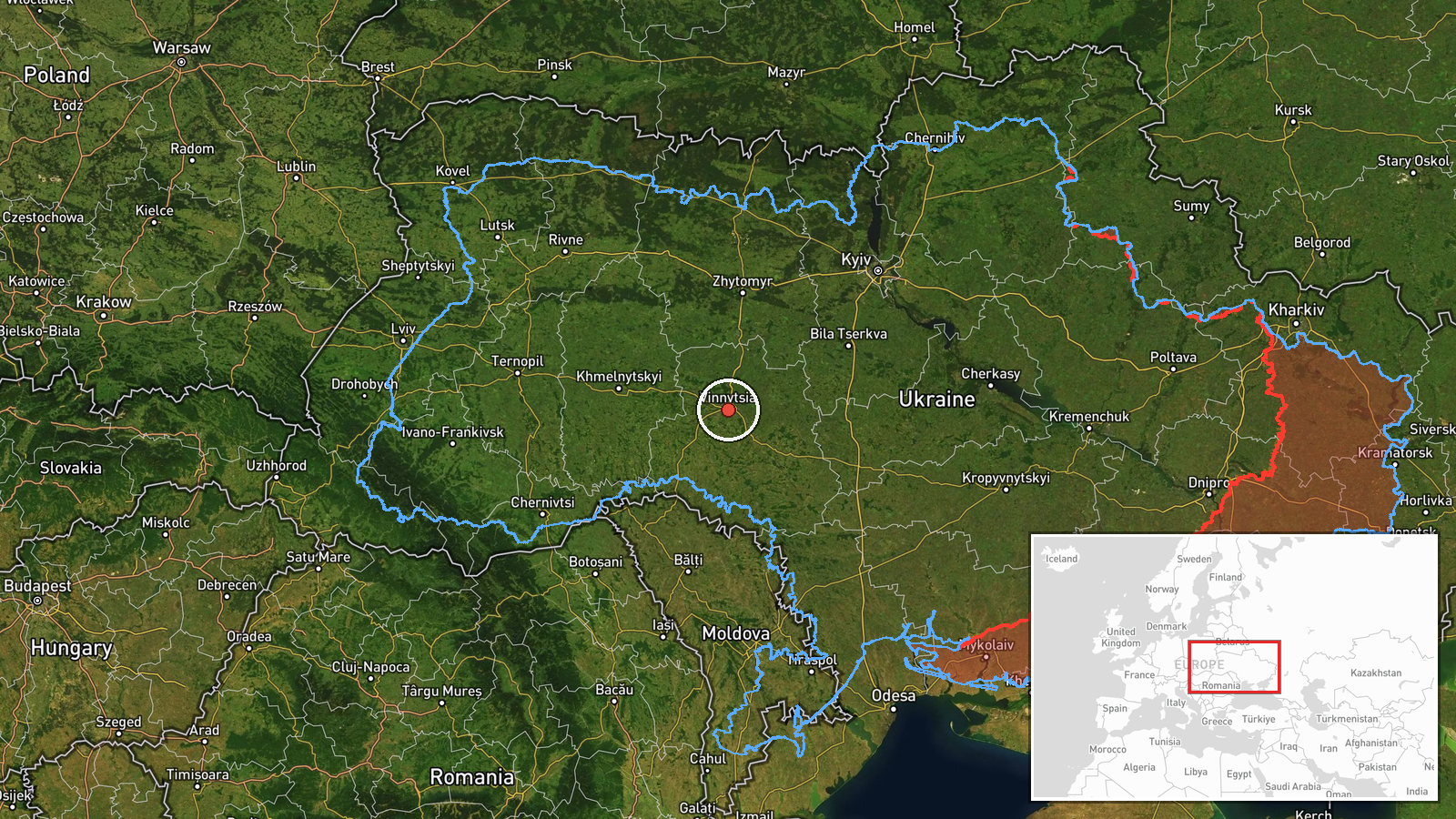
The coordinates, 49.23 N and 28.47 E, are an approximate regional centroid for Vinnytsia Oblast, not the drone's position, so location confidence is low. The original post names Ananiv, which lies in Odesa Oblast and marks the reported starting area. Vinnytsia Oblast lies in central-west Ukraine within the historic Podolia region. The Southern Bug river crosses the oblast, and the terrain is mostly rolling farmland with towns and rail and road links. Podilsk district and Tyvriv are named only in related reports, not pinpointed here.
Related events nearby
- Ukrainian air monitoring: 1 Russian jet-powered Shahed (Geran-3) drone from Odesa Oblast toward Vinnytsia Obla2026-10-21 02:45 UTC · Drone Transit · Vinnytsia Oblast, Ukraine
- Ukrainian air monitoring: 1 Russian jet-powered Shahed (Geran-3) drone passing Tyvriv, heading toward Vinnytsi2026-10-20 12:15 UTC · Drone Transit · Vinnytsia, Ukraine
- Ukrainian air monitoring: 1 Russian jet-powered Shahed (Geran-3) drone heading toward Zhmerynka.2026-10-20 13:41 UTC · Drone Transit · Zhmerynka, Ukraine
- Ukrainian air monitoring: 1 Russian jet-powered Shahed (Geran-3) drone from Vinnytsia Oblast toward Berezivka.2026-10-21 05:08 UTC · Drone Transit · Berezivka, Ukraine
- Ukrainian air monitoring: 1 Russian jet-powered Shahed (Geran-3) drone heading toward Bar.2026-10-20 12:19 UTC · Drone Transit · Bar, Ukraine
▶ View this event on the live map

Intel Mapper aggregates open-source reports from monitored Telegram and X channels, geolocates them, cross-checks duplicates across sources and assigns a confidence score. Entries are updated as new confirmations arrive. Read how we verify events.