Russian jet-powered Shahed drone reported passing Tyvriv on course toward Vinnytsia, Ukraine
What happened
Ukrainian air monitoring reported on Telegram that one Russian jet-powered Shahed, designated Geran-3, was passing Tyvriv and heading toward Vinnytsia on 20 October 2026 at about 12:15 UTC. The original Ukrainian-language post uses the phrasing 'reactive UAV via Tyvriv on a course toward Vinnytsia,' describing a drone in transit rather than a reported strike. The post does not describe impact, damage, casualties, or interception. It is one of at least five drone-transit alerts logged for Vinnytsia Oblast that day, the first at 03:14 UTC.
Context and assessment
Vinnytsia is a regional centre in west-central Ukraine, and the oblast lies along routes that Russian long-range drones have used to cross from the south and east toward western Ukraine. Its position makes it a frequent transit area rather than a front-line location, which fits the pattern in the surrounding reports. Between 03:14 and 08:13 UTC on the same day, monitoring logged repeated Geran-3 passages over the oblast, some heading west and others toward Vinnytsia, including a group of two or more drones entering from Odesa Oblast. The sequence suggests a sustained flow of drones moving across the region in waves rather than a single isolated launch. Operationally, traffic of this kind may reflect routing toward targets further west, reconnaissance or probing of air defence coverage, or drones that strayed from planned routes. The data does not show which explanation applies, and the final targets are not identified. Because the alert describes a drone in flight rather than an outcome, it should be read as evidence of air activity over the region, not of a particular target being hit.
Sources and confidence
The alert comes from a single Telegram channel, @kpszsu, which is widely associated with Ukraine's Air Force monitoring and public warnings. No other outlet in the event data reports this specific drone, and the record has not been corrected. The confidence score of 8.0 reflects an official-style source with a clear, time-stamped description, offset by the single-channel basis and the absence of independent confirmation from radar, regional authorities, or wreckage reports. Confidence would rise with corroboration from a second official or media source, a regional military administration statement, or reports of debris or impact. It would fall if the channel amended the warning or later alerts contradicted the track.
Location
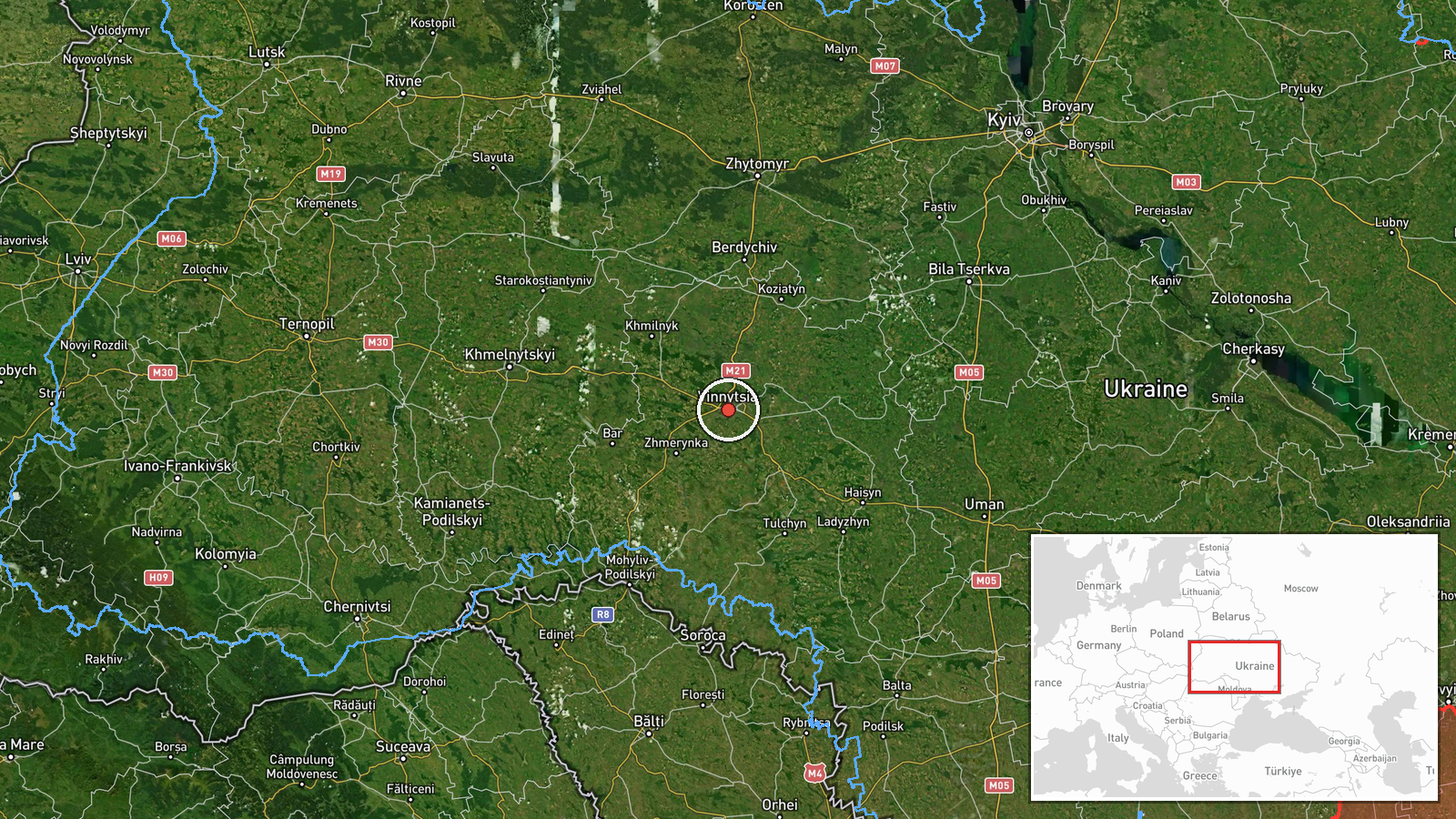
The coordinates, 49.23 N and 28.47 E, appear to correspond to the centre of Vinnytsia city rather than to Tyvriv, so the point is a settlement-level approximation rather than an exact fix on the drone's track. Location confidence is rated high at settlement precision. Vinnytsia sits on the Southern Bug River in west-central Ukraine, with the surrounding oblast mostly rolling farmland, forest, and river valleys. The drone was reported over Tyvriv, a smaller settlement in the same oblast, so its actual position at the time of the alert may differ from the plotted point.
Related events nearby
- Ukrainian air monitoring: 2+ Russian jet-powered Shahed (Geran-3) drones from Odesa Oblast toward Vinnytsia Ob2026-10-20 08:13 UTC · Drone Transit · Vinnytsia Oblast, Ukraine
- Ukrainian air monitoring: 1 Russian jet-powered Shahed (Geran-3) drone passing Vinnytsia Oblast, heading west.2026-10-20 08:13 UTC · Drone Transit · Vinnytsia Oblast, Ukraine
- Ukrainian air monitoring: 1 Russian jet-powered Shahed (Geran-3) drone passing Podilsk district, heading towar2026-10-20 07:29 UTC · Drone Transit · Vinnytsia Oblast, Ukraine
- Ukrainian air monitoring: 2+ Russian jet-powered Shahed (Geran-3) drones passing Vinnytsia Oblast, heading wes2026-10-20 05:49 UTC · Drone Transit · Vinnytsia Oblast, Ukraine
- Ukrainian air monitoring: 1 Russian jet-powered Shahed (Geran-3) drone passing Vinnytsia Oblast, heading west.2026-10-20 03:14 UTC · Drone Transit · Vinnytsia Oblast, Ukraine
▶ View this event on the live map

Intel Mapper aggregates open-source reports from monitored Telegram and X channels, geolocates them, cross-checks duplicates across sources and assigns a confidence score. Entries are updated as new confirmations arrive. Read how we verify events.