Single Shahed-type drone reported transiting northern Kharkiv Oblast, heading southwest
What happened
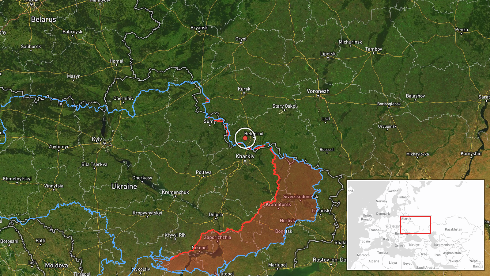
Ukrainian air monitoring reported on 21 October 2026, at about 09:38 UTC, that one Russian Shahed-type drone was passing through northern Kharkiv Oblast on a southwesterly heading. The report was posted on Telegram by the official air monitoring channel @kpszsu and was brief, giving no altitude, speed, or intended target. The original Ukrainian wording describes a UAV, or БпЛА, in the north of the Kharkiv region moving in a southwest direction. The event is recorded as a transit rather than a strike, and no impact, casualties, or damage were reported in the source material.
Context and assessment
Northern Kharkiv Oblast sits close to the Russian border, and the city of Kharkiv has been a recurring target of long-range drones and glide munitions. The related events show a dense sequence of activity on the same morning: several single-drone reports over Kharkiv city between 02:19 and 02:43 UTC, a later warning of two or more jet-powered Geran-3 drones heading toward the oblast at 08:06, and ground fighting in the South Slobozhanshchyna area at Ternova, Vovchanski Khutory and nearby settlements. Taken together, this pattern suggests a sustained campaign that mixes long-range drone flights with frontline pressure in the same border zone. A drone heading southwest through the northern oblast could be routing around air defense concentrations near Kharkiv city, using the terrain of the border area, or simply transiting toward other targets further west. Because the source gives no destination, these readings remain speculative, and the transit may have no direct connection to the ground fighting nearby.
Sources and confidence
The report comes from a single channel, Telegram (@kpszsu), which is the official Ukrainian air monitoring account. It has not been independently confirmed by a second outlet, wire service, or regional military administration in the provided data. The confidence score of 8.0 reflects a credible official source with a clear reporting pattern, offset by the single-channel basis, the short wording, and the absence of any corroborating track or impact report. Confidence would rise if other monitoring channels, regional officials, or subsequent reports confirmed the same drone's path or reported a strike. It would fall if later updates contradicted the heading or if the track could not be matched to any recorded impact.
Location
The location is recorded at region level, not at a specific settlement, so the coordinates mark a general point in northern Kharkiv Oblast with low location confidence. The source does not name a town or route, so the position should be read as an approximate area rather than a precise track. The oblast lies in northeastern Ukraine along the Russian border, an area of open agricultural land, rivers, and forest belts. Kharkiv city, the regional capital, lies to the south and is the most significant nearby urban area.
Related events nearby
- Ukrainian units repelled 13 Russian attacks across South Slobozhanshchyna settlements including Ternova, Izbyt2026-10-21 05:04 UTC · Combat · Ternova, Kharkiv Oblast, Ukraine
- Russian forces made 12 attacks on Ukrainian positions in the Southern Slobozhansky direction toward ten settle2026-10-20 19:03 UTC · Combat · Vovchanski Khutory, Kharkiv Oblast, Ukraine
- Ukrainian air monitoring: 2+ Russian jet-powered Shahed (Geran-3) drones heading toward Kharkiv Oblast.2026-10-21 08:06 UTC · Drone Transit · Kharkiv Oblast, Ukraine
- Ukrainian air monitoring: 1 Russian jet-powered Shahed (Geran-3) drone over Kharkiv.2026-10-21 02:43 UTC · Drone Transit · Kharkiv, Ukraine
- Ukrainian air monitoring: 1 Russian jet-powered Shahed (Geran-3) drone heading toward Kharkiv.2026-10-21 02:19 UTC · Drone Transit · Kharkiv, Ukraine
▶ View this event on the live map

Intel Mapper aggregates open-source reports from monitored Telegram and X channels, geolocates them, cross-checks duplicates across sources and assigns a confidence score. Entries are updated as new confirmations arrive. Read how we verify events.