Ukrainian monitoring reports one jet-powered Geran-3 drone heading toward Rivne from the north
What happened
Ukrainian air monitoring reported on Telegram that one Russian jet-powered Shahed, designated Geran-3, was heading toward Rivne from the north at 15:57 UTC on 21 October 2026. The post, from the channel @kpszsu, was written in Ukrainian and reads as a short tactical alert describing a jet-type unmanned aerial vehicle moving toward the city. The report names no impact, no casualties and no debris location, and it does not say whether air defence engaged the drone. The event is classified as a drone transit, meaning the report concerns a track through airspace rather than a confirmed strike. The attribution to Russia rests on the drone type named in the monitoring message and the wider campaign pattern, not on a separate confirmation of launch.
Context and assessment
Rivne lies in northwestern Ukraine, in the Polissia lowlands, and is the administrative centre of Rivne Oblast. Its distance from the front line makes it a regional hub rather than a frontline town, so repeated drone tracks toward it usually signal routing through a western corridor toward targets in the wider region, rather than a local tactical objective. The related reports from the same day show a sustained sequence. At 04:58 a single Geran-3 was tracked toward Rivne. At 09:22 two or more drones were reported passing Zakhod, heading toward Rivne Oblast. At 12:11 a single drone was tracked from Zhytomyr Oblast toward Rivne, and at 15:36 one drone was reported south of Rivne on a westerly course. The 15:57 alert then describes a drone approaching from the north. It is unclear from the wording whether the 15:36 and 15:57 tracks involve the same aircraft, which would mean a re-tracking and a change of bearing, or separate objects. Operationally, the staggered single-drone pattern may point to a series of launches, or to drones being rerouted and re-reported as they move through the airspace. The sequence does not on its own show intent or a specific target.
Sources and confidence
The only source is the Telegram channel @kpszsu, which is widely associated with the Ukrainian Air Force, so the report is official in origin but comes from a single channel. No independent outlet, regional administration or second monitoring feed has been identified for this specific alert. The confidence score of 8.0 reflects the authoritative origin and the clear wording, but is held below the top band because there is no cross-confirmation and no reported impact. Confidence would rise with corroboration from regional authorities, a second monitoring source, or wreckage or impact reporting. It would fall if later updates reclassified the track or withdrew the alert.
Location
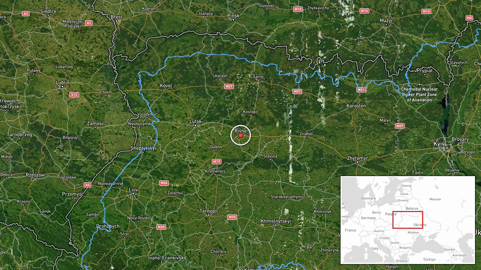
The coordinates match the centre of Rivne city to settlement-level precision, and the location confidence is recorded as high. Rivne sits on the Ustia River in the Polissia region, an area of lowlands, forests, wetlands and scattered lakes to the north and west. The city is close to the border with Belarus and to the broader western Ukrainian road and rail network. The event location refers to the city itself, not to a specific facility or to the point where the drone was first detected.
Related events nearby
- Ukrainian air monitoring: 1 Russian jet-powered Shahed (Geran-3) drone heading toward Rivne Oblast.2026-10-21 16:36 UTC · Drone Transit · Rivne Oblast, Ukraine
- Ukrainian air monitoring: 1 Russian jet-powered Shahed (Geran-3) drone heading toward Rivne.2026-10-21 16:02 UTC · Drone Transit · Rivne, Ukraine
- Ukrainian air monitoring: 1 Russian jet-powered Shahed (Geran-3) drone heading toward Rivne.2026-10-21 15:06 UTC · Drone Transit · Rivne, Ukraine
- Ukrainian air monitoring: 1 Russian jet-powered Shahed (Geran-3) drone from Zhytomyr Oblast toward Rivne.2026-10-21 12:11 UTC · Drone Transit · Rivne, Ukraine
- Ukrainian air monitoring: 2+ Russian jet-powered Shahed (Geran-3) drones passing Zakhod, heading toward Rivne 2026-10-21 09:22 UTC · Drone Transit · Rivne Oblast, Ukraine
▶ View this event on the live map

Intel Mapper aggregates open-source reports from monitored Telegram and X channels, geolocates them, cross-checks duplicates across sources and assigns a confidence score. Entries are updated as new confirmations arrive. Read how we verify events.