Single Russian Geran-3 jet drone reported transiting Chornobyl exclusion zone toward Zhytomyr Oblast
What happened
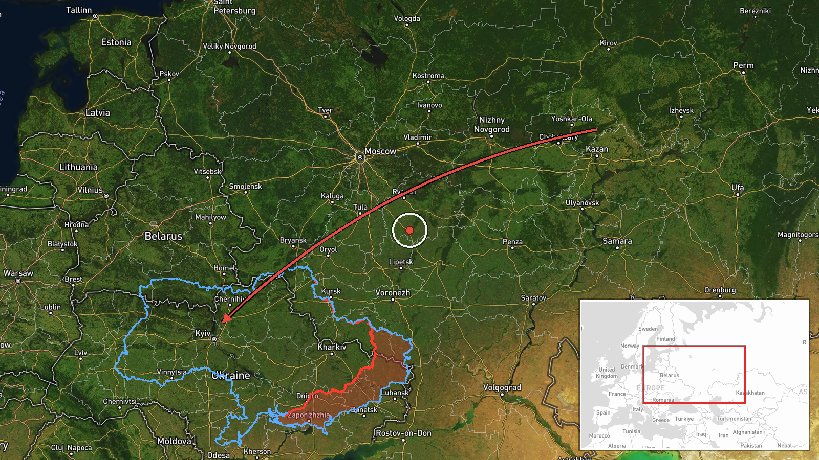
Ukrainian air monitoring channel @kpszsu reported on Telegram at 07:18 UTC on 22 October 2026 that one Russian jet-powered Shahed (Geran-3) drone was passing through the Chornobyl exclusion zone on a course toward Zhytomyr Oblast. The original post, written in Ukrainian, describes a 'jet-powered UAV' moving through the zone toward Zhytomyr region. The report does not state any impact, strike, or damage, and no target within the oblast is named. It is one of a series of similar drone-transit notices logged in Zhytomyr Oblast over the previous day and a half, all relayed by the same single channel.
Context and assessment
Zhytomyr Oblast lies on the main northwest corridor between Kyiv and the western regions, and drones heading through it are often tracked toward Kyiv, Rivne, or Khmelnytskyi rather than stopping there. The Chornobyl exclusion zone is a sparsely populated, heavily forested area that drones have used as a low-visibility approach path, and its contamination and restricted status make it a notable corridor for air-monitoring reporting. The related events show a steady pattern: on 21 October, separate notices described single Geran-3 drones entering from northern Kyiv and Vinnytsia oblasts, and one report mentioned a group of two or more drones from the north. The repetition suggests a sustained flow of individual jet-powered drones routed through the north-central region, which may indicate launch-and-route saturation or decoy tactics designed to stretch air defense. Such reporting pattern alone does not confirm intent, and the destination of this specific drone cannot be established from the data.
Sources and confidence
The event rests on one Telegram channel, @kpszsu, which is the Ukrainian Air Force's official channel and is generally regarded as a primary source for air-threat warnings. No independent outlet, satellite source, or second monitoring channel is listed in the data, so cross-confirmation is absent. The confidence score of 8.0 reflects the official origin and consistency with a series of similar notices, but it is not higher because it is single-sourced and the location is approximate. Confidence would rise with corroboration from another monitoring channel, a Ukrainian official statement naming the affected district, or reporting of an impact. It would fall if later updates indicated the drone was misidentified or was tracked outside the oblast.
Location
The location is coded at the oblast level, not to a settlement or facility, because the source names only the Chornobyl exclusion zone and the destination region. The coordinates (50.25 N, 28.66 E) are an approximate centroid for Zhytomyr Oblast, and the location confidence is recorded as low for that reason. The northern part of the oblast borders Belarus and includes forest, wetlands, and the exclusion zone. The Chornobyl exclusion zone itself sits near the oblast's northern edge and is marked by the Pripyat River and extensive woodland.
Related events nearby
- Ukrainian air monitoring: 1 Russian jet-powered Shahed (Geran-3) drone heading toward Zhytomyr.2026-10-22 07:18 UTC · Drone Transit · Zhytomyr, Ukraine
- Ukrainian air monitoring: 1 Russian jet-powered Shahed (Geran-3) drone heading toward Zhytomyr; 2+ Russian jet2026-10-21 15:37 UTC · Drone Transit · Zhytomyr, Ukraine
- Ukrainian air monitoring: 1 Russian jet-powered Shahed (Geran-3) drone from northern Vinnytsia Oblast toward Z2026-10-21 15:07 UTC · Drone Transit · Zhytomyr Oblast, Ukraine
- Ukrainian air monitoring: 1 Russian jet-powered Shahed (Geran-3) drone from northern Kyiv Oblast toward Zhytom2026-10-21 13:42 UTC · Drone Transit · Zhytomyr Oblast, Ukraine
- Ukrainian air monitoring: 1 Russian jet-powered Shahed (Geran-3) drone heading toward Zhytomyr Oblast.2026-10-21 13:35 UTC · Drone Transit · Zhytomyr Oblast, Ukraine
▶ View this event on the live map

Intel Mapper aggregates open-source reports from monitored Telegram and X channels, geolocates them, cross-checks duplicates across sources and assigns a confidence score. Entries are updated as new confirmations arrive. Read how we verify events.