Two or more Russian jet-powered Shahed drones reported passing Korosten, Zhytomyr Oblast, heading west
What happened
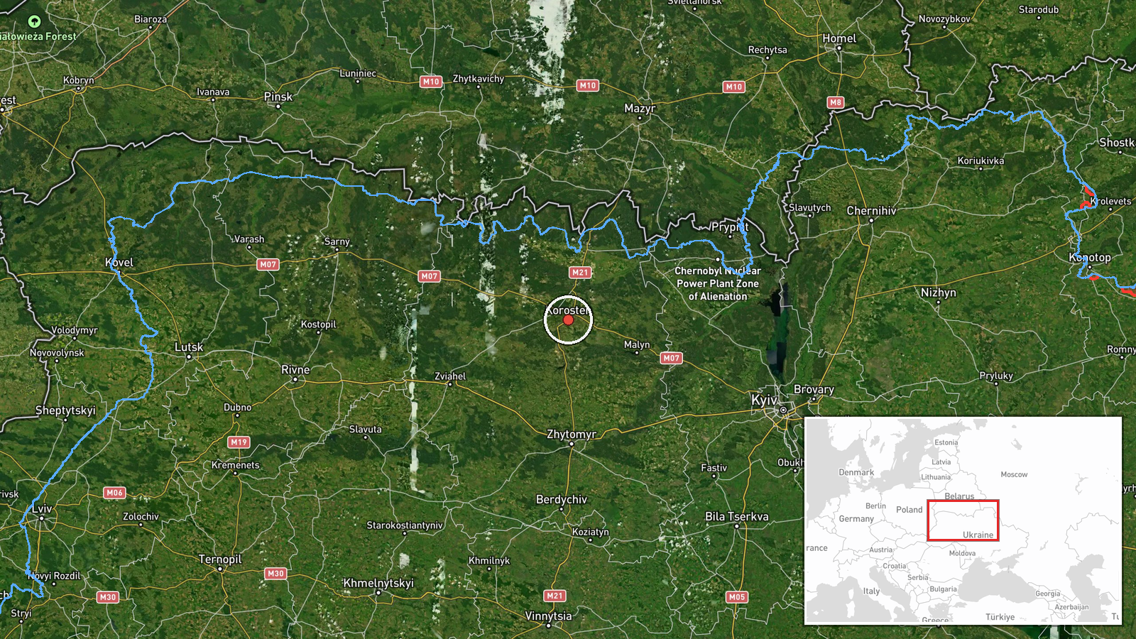
Ukrainian air monitoring reported on Telegram via the channel @kpszsu that two or more Russian jet-powered Shahed (Geran-3) drones were passing Korosten in Zhytomyr Oblast on 22 October 2026, at about 17:30 UTC, moving on a westward course. The original post, written in Ukrainian, describes the drones as jet-type UAVs (реактивні БпЛА) flying past Korosten on a heading to the west. The wording indicates transit rather than a reported strike, and the post does not give any information on impacts, casualties or damage. The report is a single-channel air monitoring update, so the drone count is described as a minimum with the '2+' figure.
Context and assessment
Korosten is a railway and road junction in northwestern Zhytomyr Oblast, close to the border with Belarus and to the Kyiv-Zhytomyr corridor, which makes it a recurring waypoint in Ukrainian air monitoring reports when Shahed-type drones fly through the north of the country. The related events show a sustained pattern in the same area over roughly two days. On 21 October, northern Zhytomyr Oblast saw a similar transit of two or more drones heading west. On 22 October, earlier in the day, single drones were logged near Ovruch at 07:19 and approaching Korosten at 08:09 and 16:58, and then a further group of two or more was reported passing northern Zhytomyr Oblast at 17:54. The repeated westward headings suggest drones following a corridor that runs through the region rather than targeting a single site. Operationally, such a pattern may indicate launches routed along northern flight paths, possibly to reach western or northwestern targets, or decoy and saturation tactics, though the data does not confirm the purpose of any particular flight. Monitoring reports of this kind mainly show movement, and they should be read as indicators of air activity rather than of intended targets.
Sources and confidence
The report comes from a single Telegram channel, @kpszsu, which is linked to the Ukrainian air-monitoring information flow, and no independent outlet is recorded as confirming it in the provided data. Cross-confirmation is therefore absent, and the confidence score of 8.0 reflects a credible official-style channel with a consistent multi-event pattern in the same area, offset by the lack of a second source. Confidence would rise if regional military administration statements, Air Force alerts, or independent tracking data showed the same drones on this route, or if wire services repeated the monitoring update. It would fall if later corrections emerged, if the flight path were contradicted by other monitoring, or if the drone count were revised.
Location
The location is recorded at settlement level for Korosten, a city in Zhytomyr Oblast, with high location confidence in the event data. The coordinates given (50.9512, 28.63859) correspond to the town centre rather than to a specific facility, and the post itself names Korosten as the point of passage rather than a target. The city lies in the Polissia lowlands, an area of forests, marshes and rivers, with the Teteriv and Uzh river systems nearby. Its position on rail and road lines between Kyiv and the west makes it a significant geographic reference point for air monitoring in the region.
Related events nearby
- Ukrainian air monitoring: 1 Russian jet-powered Shahed (Geran-3) drone heading toward Korosten.2026-10-22 16:58 UTC · Drone Transit · Korosten, Ukraine
- Ukrainian air monitoring: 1 Russian jet-powered Shahed (Geran-3) drone heading toward Korosten.2026-10-22 08:09 UTC · Drone Transit · Korosten, Ukraine
- Ukrainian air monitoring: 2+ Russian jet-powered Shahed (Geran-3) drones passing northern Zhytomyr Oblast, hea2026-10-22 17:54 UTC · Drone Transit · northern Zhytomyr Oblast, Ukraine
- Ukrainian air monitoring: 2+ Russian jet-powered Shahed (Geran-3) drones passing northern Zhytomyr Oblast, hea2026-10-21 18:25 UTC · Drone Transit · northern Zhytomyr Oblast, Ukraine
- Ukrainian air monitoring: 1 Russian jet-powered Shahed (Geran-3) drone passing Ovruch, heading west.2026-10-22 07:19 UTC · Drone Transit · Ovruch, Ukraine
▶ View this event on the live map

Intel Mapper aggregates open-source reports from monitored Telegram and X channels, geolocates them, cross-checks duplicates across sources and assigns a confidence score. Entries are updated as new confirmations arrive. Read how we verify events.