Ukrainian air monitoring reports 2+ jet-powered drones over Kyiv in overnight alert on 23 October 2026
What happened
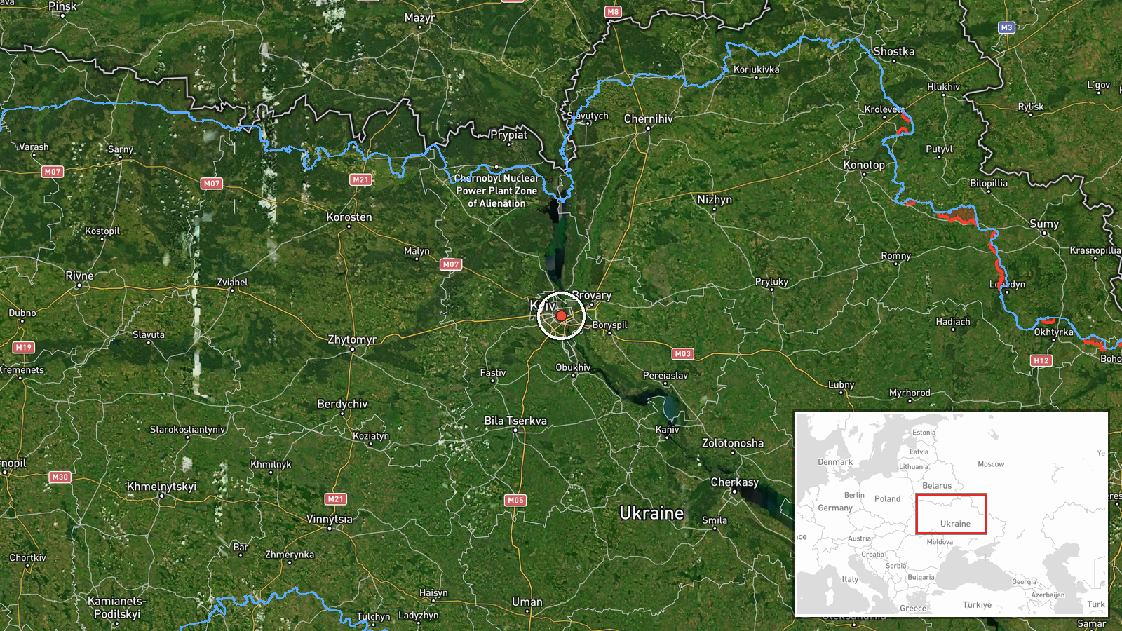
Ukrainian air monitoring, relayed through a single Telegram channel, reported at 01:04 UTC on 23 October 2026 that two or more jet-powered unmanned aerial vehicles were over Kyiv. The original Ukrainian-language post is brief. It states that jet-type drones (реактивні БпЛА) were over the city and tells residents to take shelter. The post does not name a drone model. The Shahed or Geran-3 label in the event summary is a desk classification based on the jet-powered description and recent reporting patterns, not a term used in the message. No casualties, impact points or interceptions are mentioned. The location is the city of Kyiv, and the report concerns airspace over the capital rather than a strike on a specific site.
Context and assessment
Kyiv is the Ukrainian capital and seat of government, and it has been struck repeatedly since the full-scale invasion began in 2022. Its airspace is therefore routinely monitored, and drone alerts there carry political as well as military weight. The related events show a sequence over roughly an hour. At 00:18 UTC, two or more Shahed-type drones were reported moving from northern Chernihiv Oblast toward Kyiv Oblast, and at 00:19 a single Shahed-type drone was reported heading toward Kyiv. The jet-powered report at 01:04 fits that sequence as a continuation rather than a new axis. Earlier, at 21:11 on 22 October, Russia reportedly struck Kyiv with a ballistic missile, though the weapon type and damage were not specified. Political statements on the same evening, in which Zelensky linked overnight strikes to Russia's stance on peace and Trump said such strikes had been happening a lot, place the raid in an active diplomatic context. Operationally, this pattern may suggest a sustained overnight campaign with drones arriving in waves along a northern approach, possibly following or accompanying missile strikes. Jet-powered variants are generally faster than older piston-engine Shaheds, which could shorten warning times. These inferences are tentative, since the data does not establish intent or targeting.
Sources and confidence
The report comes from one channel, Telegram @kpszsu, which is linked to Ukrainian air monitoring. The related events in the data are consistent with it, but they are not shown as independently confirmed, and no wire service, official Air Force statement or city administration report appears in the record. The confidence score of 8.0 reflects a clear, official-style warning from a channel with an established monitoring role, together with a coherent sequence of earlier alerts. It is held below the top range because of single-channel sourcing and the absence of any impact or interception details. Confidence would rise with confirmation from the Ukrainian Air Force, Kyiv city authorities or a major wire agency. It would fall if later official reporting contradicted the drone type or number, or if the alert were withdrawn.
Location
The location is recorded at settlement precision for the city of Kyiv, with high location confidence. The coordinates of 50.45 north and 30.52 east sit near the city centre, so they describe the city as a whole rather than any specific site. Kyiv lies on both banks of the Dnipro River. The right bank is hilly and dense with older districts, while the left bank is flatter and largely residential and industrial. The city is surrounded by Kyiv Oblast, which is why the related reports refer to movement from the oblast toward the city.
Related events nearby
- Ukrainian air monitoring: 1 Russian Shahed-type drone heading toward Kyiv.2026-10-23 00:19 UTC · Drone Transit · Kyiv, Ukraine
- Ukrainian air monitoring: 2+ Russian Shahed-type drones from northern Chernihiv Oblast toward Kyiv Oblast.2026-10-23 00:18 UTC · Drone Transit · Kyiv Oblast, Ukraine
- Russia struck the Ukrainian capital Kyiv; weapon type, casualties and damage not specified in the report.2026-10-22 21:11 UTC · Ballistic Missile · Kyiv, Ukraine
- Zelensky says new overnight Russian strikes prove Putin does not want peace; Trump responds that such strikes 2026-10-22 20:17 UTC · Statement · Kyiv, Ukraine
- Zelensky says he believes Russia needs Ukraine to join NATO, claiming membership would give Russia more securi2026-10-22 19:19 UTC · Statement · Kyiv, Ukraine
▶ View this event on the live map

Intel Mapper aggregates open-source reports from monitored Telegram and X channels, geolocates them, cross-checks duplicates across sources and assigns a confidence score. Entries are updated as new confirmations arrive. Read how we verify events.