Jet-powered Shahed drones reported transiting Zviahel district, Zhytomyr Oblast, heading west
What happened
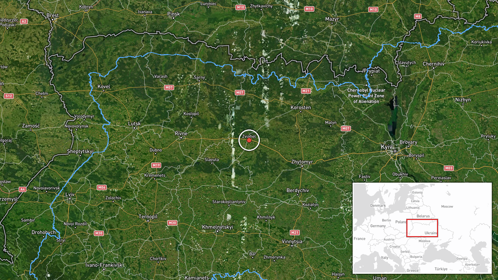
At 09:15 UTC on 23 October 2026, a Ukrainian air monitoring report indicated at least two jet-powered Shahed (Geran-3) drones passing the Zviahel district of Zhytomyr Oblast, moving in a westerly direction. The report was posted on Telegram by the channel @kpszsu, which is generally associated with Ukraine's Air Force. The original Ukrainian wording refers to jet-type UAVs in the Zviahel district of Zhytomyr region moving west. The summary's "2+" reflects a minimum count rather than an exact figure. The post describes no impact, casualties, or damage and names no target. It is a transit notice, so the confirmed content is limited to the presence and direction of the aircraft over the district.
Context and assessment
Zviahel, the district centre formerly known as Novohrad-Volynskyi, lies in northwestern Zhytomyr Oblast, close to the borders with Rivne and Khmelnytskyi oblasts. Its position on routes between central Ukraine and the west makes it a useful marker for tracking drones that move across the northern part of the country. The related events show a sequence of similar reports over roughly 30 hours. A single drone was reported heading toward Shepetivka from northern Khmelnytskyi on 22 October, and further drones were logged near Olevsk heading west in the early hours of 23 October. Others were reported from Rivne Oblast toward Berezne, from northern Kyiv Oblast toward northern Zhytomyr, and again toward northern Zhytomyr later that morning. Taken together, the reports suggest a pattern of drones tracked along northern corridors and moving westward. Operationally, transit reports of this kind usually reflect air defence tracking rather than confirmed targeting. The westward heading may indicate that the drones were routed toward western Ukraine, or that they were diverted or lost. The reports alone do not establish a destination or intent.
Sources and confidence
The event rests on a single Telegram channel, @kpszsu, with a source count of one, and the record has not been corrected. The related events come from the same kind of monitoring feed and agree on direction and sequence, but they are not independent confirmation of this track, so they do not raise the score much. The confidence score of 8.0 reflects a credible official-associated channel with consistent surrounding reports, offset by the lack of a second outlet. Confidence would rise with corroboration from regional military administrations, a later Ukrainian Air Force update, or consistent open-source flight tracking. It would fall if a follow-up report revised the direction or count or contradicted the timing.
Location
The coordinates correspond to the Zviahel district at settlement-level precision, and location confidence is recorded as high. The report names the district rather than a specific village, so the point is an approximate centre rather than an exact track position. The area lies in northwestern Zhytomyr Oblast, within the Polissia lowlands. The landscape includes forests, wetlands, and river valleys, with agricultural land in between.
Related events nearby
- Ukrainian air monitoring: 1 Russian jet-powered Shahed (Geran-3) drone from northern Khmelnytskyi Oblast towar2026-10-22 16:57 UTC · Drone Transit · Shepetivka, Ukraine
- Ukrainian air monitoring: 2+ Russian jet-powered Shahed (Geran-3) drones passing Olevsk, heading west.2026-10-23 01:42 UTC · Drone Transit · Olevsk, Ukraine
- Ukrainian air monitoring: 1 Russian jet-powered Shahed (Geran-3) drone from Rivne Oblast toward Berezne.2026-10-23 07:55 UTC · Drone Transit · Berezne, Ukraine
- Ukrainian air monitoring: 1 Russian jet-powered Shahed (Geran-3) drone heading toward northern Zhytomyr Oblast2026-10-23 08:50 UTC · Drone Transit · northern Zhytomyr Oblast, Ukraine
- Ukrainian air monitoring: 1 Russian jet-powered Shahed (Geran-3) drone from northern Kyiv Oblast toward northe2026-10-23 07:08 UTC · Drone Transit · northern Zhytomyr Oblast, Ukraine
▶ View this event on the live map

Intel Mapper aggregates open-source reports from monitored Telegram and X channels, geolocates them, cross-checks duplicates across sources and assigns a confidence score. Entries are updated as new confirmations arrive. Read how we verify events.