Single jet-powered Shahed (Geran-3) drone reported heading toward Chernihiv, Ukraine
What happened
Ukrainian air monitoring reported at about 10:57 UTC on 23 October 2026 that one Russian jet-powered Shahed (Geran-3) drone was heading toward the city of Chernihiv from the west. The original Ukrainian-language post, which translates roughly as 'jet-powered UAV toward Chernihiv from the west,' is the only source for the report. It gives no impact information, casualty figures or description of damage, and it does not say whether the drone was intercepted or continued on course. The event is logged as a drone transit, meaning a track observed in the air rather than a confirmed strike. The same channel reported a cruise missile heading toward Chernihiv about seven minutes earlier, and a separate drone track near Berezna earlier that morning.
Context and assessment
Chernihiv, a city of several hundred thousand people in northern Ukraine close to the Belarusian and Russian borders, has appeared repeatedly in air-alert reporting during this period. The related events on the same date show a sustained pattern of Geran-3 jet drones moving through Chernihiv Oblast. Earlier that morning, groups of two or more drones were logged from Bryansk, in Russia, toward northern Chernihiv Oblast, and over the settlements of Snovsk and Slavutych. A drone track was then reported from Chernihiv Oblast toward Berezna, followed by the cruise missile toward Chernihiv. Taken together, these reports suggest air activity moving through the oblast along multiple approach routes rather than a single isolated launch. The jet-powered variant is faster and harder to intercept than the older piston-engine Shahed design, which may explain the attention given to individual tracks. Whether this sequence reflects a deliberate effort against Chernihiv or the wider routing of strike packages across northern Ukraine cannot be established from the reporting available.
Sources and confidence
The event rests on one Telegram channel, @kpszsu, which is linked to Ukrainian air monitoring reporting, and no independent outlet has cross-confirmed this specific track. The confidence score of 8.0 reflects that the channel is an official and routinely used air-alert source, and that the same date contains several consistent reports from it. It is held below the maximum because the report is single-source, does not include a timestamp for the observed position, and describes a transit rather than an impact. Confidence would rise with corroboration from Ukrainian regional military administrations, a subsequent interception or impact report, or open-source flight tracking. It would fall if later updates retracted the track or if the drone was revealed to have been a different aircraft.
Location
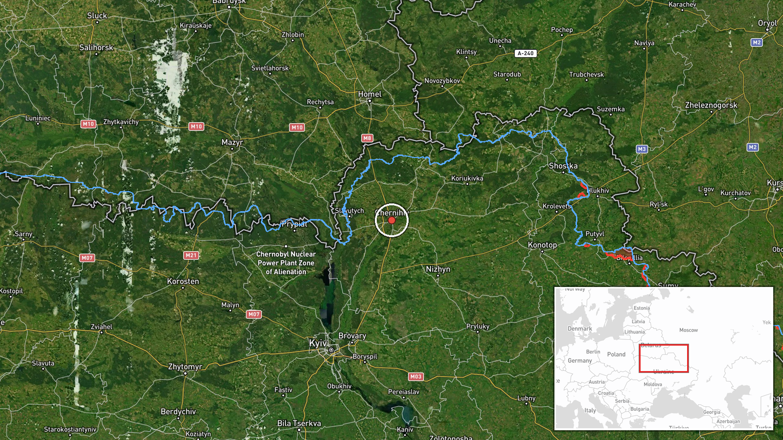
The location is given as Chernihiv city at settlement precision with high location confidence, using a city-centre coordinate of roughly 51.49 N, 31.29 E. The report refers to the city as the target direction rather than a confirmed impact site. Chernihiv lies on the Desna River in northern Ukraine, with wooded and marshy floodplain land along the river and surrounding area. The Belarusian border lies to the north, and the Russian border with Bryansk Oblast lies to the northeast.
Related events nearby
- Ukrainian air monitoring: 1 Russian Banderol mini cruise missile heading toward Chernihiv.2026-10-23 10:47 UTC · Cruise Missile · Chernihiv, Ukraine
- Ukrainian air monitoring: 1 Russian jet-powered Shahed (Geran-3) drone from Chernihiv Oblast toward Berezna.2026-10-23 10:40 UTC · Drone Transit · Berezna, Ukraine
- Ukrainian air monitoring: 2+ Russian jet-powered Shahed (Geran-3) drones heading toward Slavutych.2026-10-23 06:44 UTC · Drone Transit · Slavutych, Ukraine
- Ukrainian air monitoring: 2+ Russian jet-powered Shahed (Geran-3) drones over Snovsk.2026-10-23 00:18 UTC · Drone Transit · Snovsk, Ukraine
- Ukrainian air monitoring: 2+ Russian jet-powered Shahed (Geran-3) drones from Bryansk (Russia) toward northern2026-10-23 06:48 UTC · Drone Transit · northern Chernihiv Oblast, Ukraine
▶ View this event on the live map

Intel Mapper aggregates open-source reports from monitored Telegram and X channels, geolocates them, cross-checks duplicates across sources and assigns a confidence score. Entries are updated as new confirmations arrive. Read how we verify events.