Three Russian Shahed-136 drones tracked transiting toward Kyiv Oblast from Poltava
What happened
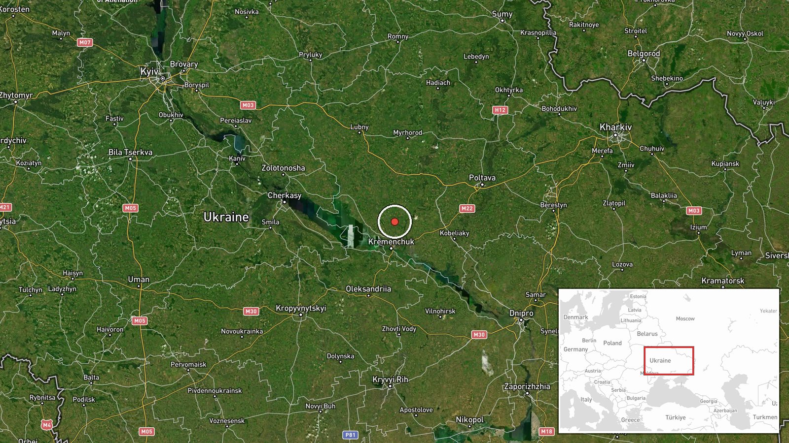
Ukrainian air defense monitoring reported three Russian Shahed-136 reactive kamikaze drones maintaining course from Poltava Oblast toward Kyiv Oblast on 2 September at 10:08 UTC. The drones were tracked in transit; the report indicates they continued on heading toward the target region. This represents a continuation of a tracked drone group that had earlier been observed passing through central Poltava Oblast near Reshetylivka and Drabiv approximately six minutes prior.
Context and assessment
Kyiv and its surrounding oblast have been consistent targets of Russian long-range drone strikes throughout the conflict, with the Shahed-136 serving as Russia's primary expendable air asset for sustained pressure on Ukrainian infrastructure and civilian areas. The attack follows a broader pattern of reactive drone transits detected across eastern Ukraine on 1–2 September, including simultaneous drone movements over Dnipropetrovsk and Poltava oblasts. This particular grouping of three reactive drones represents a relatively modest strike package compared to larger waves, potentially indicating either a harassment strike or one element of a larger coordinated attack. The routing through central Poltava suggests a southwestern approach toward Kyiv.
Sources and confidence
Reported by Telegram channel @war_monitor only; single-source reporting limits confidence. No independent cross-confirmation from Ukrainian military or air defense officials available in provided data. Confidence score of 6.0 reflects real-time tracking credibility but absence of secondary verification. Confirmation by official Ukrainian air defense alert or post-strike damage assessment would increase confidence; retraction or conflicting reports would lower it.
Location
Three drones tracked en route between Poltava Oblast (origin/last confirmed position) and Kyiv Oblast (declared target area). Intermediate waypoint near Reshetylivka and Drabiv in central Poltava indicates a northwesterly vector. Kyiv Oblast sits approximately 120–150 km north-northwest of Poltava city. Geographic precision is regional rather than facility-specific, as transit reports do not pinpoint final target coordinates.
Related events nearby
- Three Russian Shahed-136 reactive (jet-powered) kamikaze drones tracked transiting through Poltava Oblast, pas2026-09-02 10:02 UTC · Drone Transit · En route: Reshetylivka → Drabiv, Poltava Oblast, U
- Signum Battalion (Ukraine) released footage of FPV kamikaze drone strikes against Russian targets. Specific im2026-09-01 13:45 UTC · UAS Strike · Poltava, Poltava Oblast, Ukraine
- Ukrainian air defense monitoring detected 2 reactive (jet-powered) kamikaze drones transiting from Tsarychanka2026-09-01 13:34 UTC · Drone Transit · Tsarychanka, Poltava Oblast, Ukraine
- Ukrainian air defense monitoring detected 7 reactive (jet-powered) kamikaze drones transiting over the Pereshc2026-09-01 13:05 UTC · Drone Transit · Pereshchepyne, Dnipropetrovsk Oblast, Ukraine
▶ View this event on the live map
Intel Mapper aggregates open-source reports from monitored Telegram and X channels, geolocates them, cross-checks duplicates across sources and assigns a confidence score. Entries are updated as new confirmations arrive. Read how we verify events.