Russian Shahed drone detected transiting over Bila Tserkva
What happened
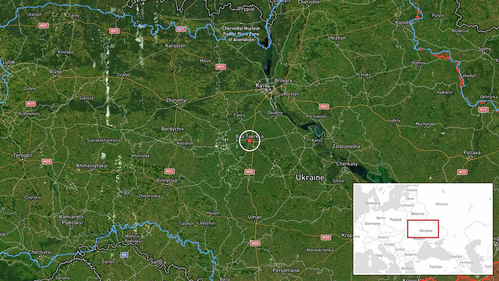
Ukrainian air monitoring detected a Russian Shahed-type kamikaze drone over Bila Tserkva in Kyiv Oblast on 1 October at 17:25 UTC. The report indicates drone transit rather than an attack or interception. Bila Tserkva, located approximately 80 kilometres south of central Kyiv, is a major city in the region. The detection was reported via Telegram by @war_monitor, a Ukrainian air defence monitoring channel.
Context and assessment
Bila Tserkva sits astride a key transport corridor south of Kyiv and has historically been within range of Russian strike operations. The detection is part of a broader drone activity pattern on 1 October, with multiple Shahed-type systems detected transiting Kyiv Oblast within a 40-minute window across Obukhiv, Hnidyn, Rozhivka, and Lisnyky. This pattern suggests either a coordinated multi-drone strike operation routing through the region or transit toward targets further northwest. Such coordinated activity typically precedes strikes on Kyiv or western approaches, though these detections alone do not confirm intended targets or outcomes.
Sources and confidence
Reported by @war_monitor on Telegram, a Ukrainian civil defence monitoring channel with consistent daily reporting on air activity. Single-source detection limits independent cross-confirmation. Confidence score of 6.0 reflects plausible detection methodology but absence of corroborating Ukrainian military statements or secondary sources. Confirmation of interception or impact would raise confidence; clarification of drone origin and intended direction would strengthen assessment.
Location
Bila Tserkva is a settlement of approximately 220,000 people in central Kyiv Oblast, Ukraine, positioned 80 kilometres south-southwest of Kyiv city centre. The town straddles the Ros River and sits along the M2 highway connecting Kyiv to the southern regions. Detection precision is identified as settlement-level with high confidence based on Ukrainian air monitoring infrastructure.
Related events nearby
- Russian Shahed-type kamikaze drone detected over Bila Tserkva (Ukrainian air monitoring).2026-10-01 17:25 UTC · Drone Transit · Bila Tserkva, Ukraine
- Russian Shahed-type kamikaze drone detected over Obukhiv (Ukrainian air monitoring).2026-10-01 17:08 UTC · Drone Transit · Obukhiv, Ukraine
- Russian Shahed-type kamikaze drone detected transiting from Pyrohiv toward Lisnyky (Ukrainian air monitoring).2026-10-01 17:55 UTC · Drone Transit · Lisnyky, Ukraine
- Russian Shahed-type kamikaze drone detected over Hnidyn (Ukrainian air monitoring).2026-10-01 17:08 UTC · Drone Transit · Hnidyn, Ukraine
- Russian Shahed-type kamikaze drone detected over Rozhivka (Ukrainian air monitoring).2026-10-01 17:48 UTC · Drone Transit · Rozhivka, Ukraine
▶ View this event on the live map
Intel Mapper aggregates open-source reports from monitored Telegram and X channels, geolocates them, cross-checks duplicates across sources and assigns a confidence score. Entries are updated as new confirmations arrive. Read how we verify events.