Russian Geran-3 drone tracked toward Bila Tserkva in Kyiv region
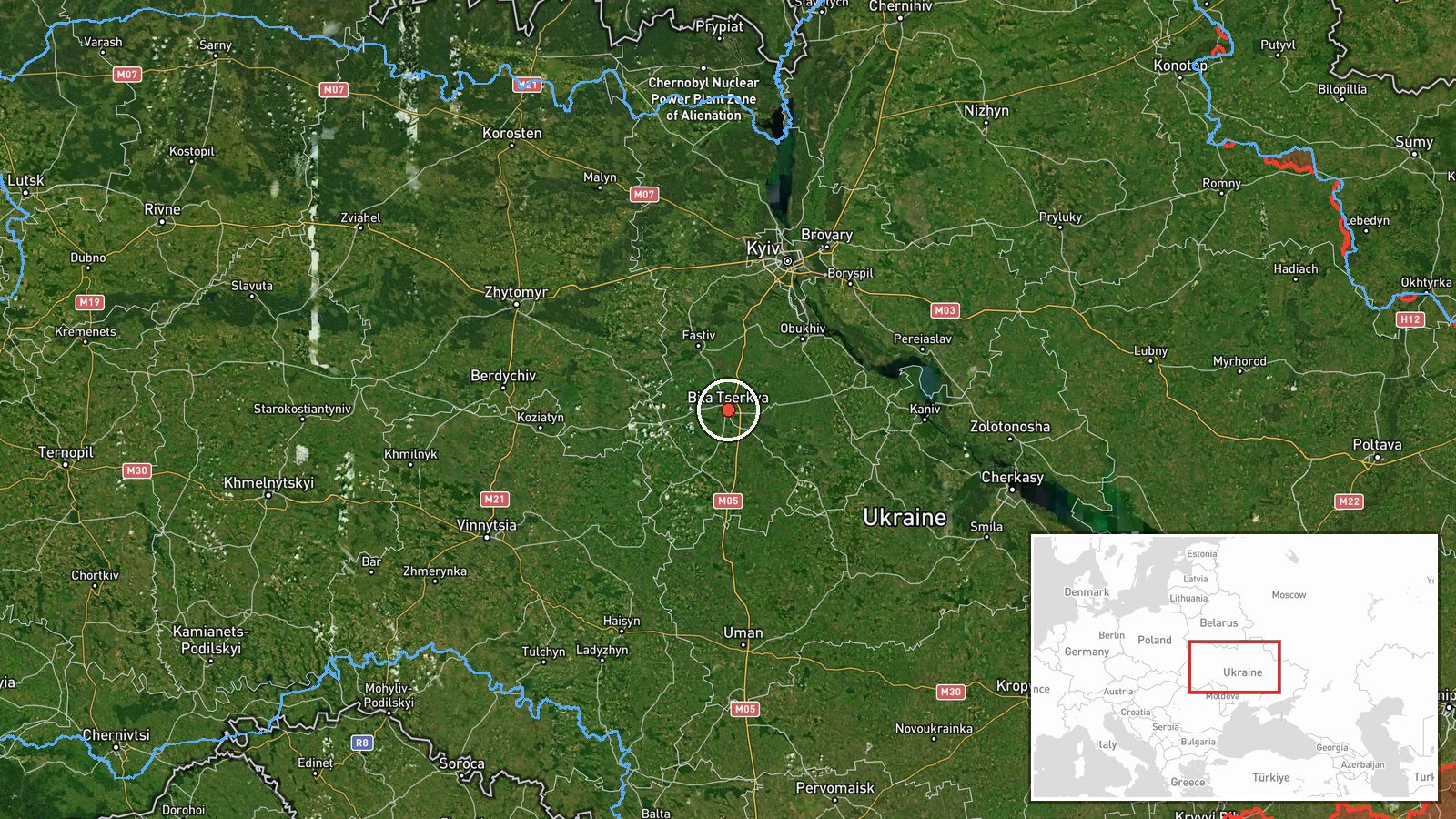
What happened
Ukrainian air monitoring systems reported one Russian jet-powered Shahed (Geran-3) drone heading toward Bila Tserkva on October 8 at 12:51 UTC. The report came from war-focused Telegram monitoring channels tracking real-time air activity over Kyiv region. No immediate impact was reported in this single notification, which logged the drone's transit vector toward the city and nearby Fastiv.
Context and assessment
Bila Tserkva, located roughly 80 kilometers south of Kyiv, has been a recurring target of Russian drone operations throughout the conflict. The October 8 detection is part of a broader pattern of Geran-3 sorties across central Kyiv region that morning, with simultaneous reports of the same drone type over Motyzhyn, Vasylkiv, Obukhiv, and Dymer. Geran-3 drones—reportedly the jet-powered variant of the Shahed family—are designed for sustained flight and precision strike missions. The convergence of multiple drone tracks suggests a coordinated attack operation targeting infrastructure across the region, though individual transit reports do not confirm impact.
Sources and confidence
Single source: Telegram channel @war_monitor, a widely-monitored Ukrainian air defense reporting feed. Confidence score of 6.0 reflects reliance on one channel without independent cross-confirmation. Related events from the same timestamp and minutes earlier provide corroborating drone activity over adjacent areas. Score would rise with secondary confirmation from official Kyiv or SBU statements; would lower if subsequent reports contradict the flight vector.
Location
Bila Tserkva, a city of roughly 220,000 in central Kyiv region, sits at 49.80°N, 30.12°E, approximately 80 km south-southwest of Kyiv. The report also mentions vector toward Fastiv, another city 30 km further southwest. Geo precision is settlement-level, based on Ukrainian air monitoring nomenclature.
Related events nearby
- Ukrainian air monitoring: 1 Russian jet-powered Shahed (Geran-3) drone passing Bila Tserkva, heading toward Fa2026-10-08 12:37 UTC · Drone Transit · Fastiv, Ukraine
- Ukrainian air monitoring: 1 Russian jet-powered Shahed (Geran-3) drone over Vasylkiv; 1 Russian Shahed-type dr2026-10-08 12:55 UTC · Drone Transit · Vasylkiv, Ukraine
- Ukrainian air monitoring: 1 Russian jet-powered Shahed (Geran-3) drone circling over Obukhiv.2026-10-08 05:06 UTC · Drone Transit · Obukhiv, Ukraine
- Ukrainian air monitoring: 1 Russian jet-powered Shahed (Geran-3) drone over Motyzhyn.2026-10-08 12:43 UTC · Drone Transit · Motyzhyn, Ukraine
- Ukrainian air monitoring: 1 Russian Shahed-type drone over Korchuvate, Kyiv.2026-10-08 06:16 UTC · Drone Transit · Korchuvate, Kyiv, Ukraine
▶ View this event on the live map
Intel Mapper aggregates open-source reports from monitored Telegram and X channels, geolocates them, cross-checks duplicates across sources and assigns a confidence score. Entries are updated as new confirmations arrive. Read how we verify events.