Russian Shahed drones tracked over northern Kyiv region in early morning transit
What happened
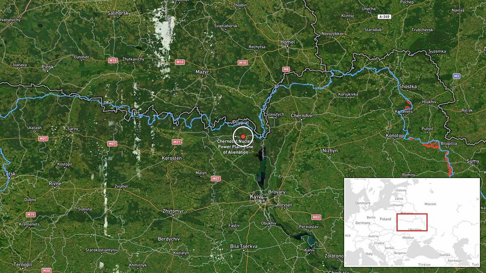
Ukrainian air monitoring reported three separate Russian Shahed-type drone detections over the northern Kyiv region on the morning of 9 October 2026. One drone was tracked over the Chornobyl Exclusion Zone, a second over Dymer, and a third observed passing Borodianka while heading toward Makariv. The report came from the Telegram channel @war_monitor at approximately 04:01 UTC. No air defense engagement or impact assessment was provided in the monitoring data.
Context and assessment
The three drone transits occurred as part of a sustained pattern of Russian drone activity across northern Kyiv region over the preceding 24 hours, with related detections reported over Hostomel, Bucha, Ivankiv, Slavutych, and other settlements between 8–9 October. The Chornobyl Exclusion Zone, though militarily significant during the 2022 invasion, remains a restricted area; drones transiting the zone may indicate either routing around air defenses or reconnaissance activity. The apparent northwestward trajectory from Dymer toward Makariv suggests targeting of infrastructure or settlements in that direction. The repetition of Borodianka in monitoring data indicates sustained Russian drone corridors through this area.
Sources and confidence
Single source: Telegram channel @war_monitor, a Ukrainian air monitoring feed. No cross-confirmation from official Ukrainian air force statements or other channels is noted in the data. Confidence of 6.0 reflects reliance on a single source without secondary verification. Confirmation by Ukrainian General Staff, air force statements, or reports from independent observers would strengthen confidence; contradictory reports or failures to materialize would lower it.
Location
Three separate locations tracked in Kyiv Oblast: the Chornobyl Exclusion Zone (restricted area ~130 km north of Kyiv); Dymer (settlement ~50 km northwest of central Kyiv); and Borodianka/Makariv axis (~60–70 km northwest). All lie in northern Kyiv region formerly contested during the 2022 invasion and subject to ongoing Russian strikes.
Related events nearby
- Ukrainian air monitoring: 2 Russian jet-powered Shahed (Geran-3) drones heading toward Slavutych.2026-10-08 12:08 UTC · Drone Transit · Slavutych, Ukraine
- Ukrainian air monitoring: 1 Russian jet-powered Shahed (Geran-3) drone over Borodianka.2026-10-08 11:18 UTC · Drone Transit · Borodianka, Ukraine
- Ukrainian air monitoring: 2 Russian Shahed-type drones over Hostomel.2026-10-09 03:57 UTC · Drone Transit · Hostomel, Ukraine
- Ukrainian air monitoring: 1 Russian jet-powered Shahed (Geran-3) drone over Bucha; 1 Russian Shahed-type drone2026-10-09 00:37 UTC · Drone Transit · Bucha, Ukraine
- Ukrainian air monitoring: 2 Russian jet-powered Shahed (Geran-3) drones passing Dymer, heading toward Bucha.2026-10-08 14:13 UTC · Drone Transit · Bucha, Ukraine
▶ View this event on the live map

Intel Mapper aggregates open-source reports from monitored Telegram and X channels, geolocates them, cross-checks duplicates across sources and assigns a confidence score. Entries are updated as new confirmations arrive. Read how we verify events.