Russian Shahed drones transit Kyiv Oblast; Obukhiv and Pereiaslav areas targeted
What happened
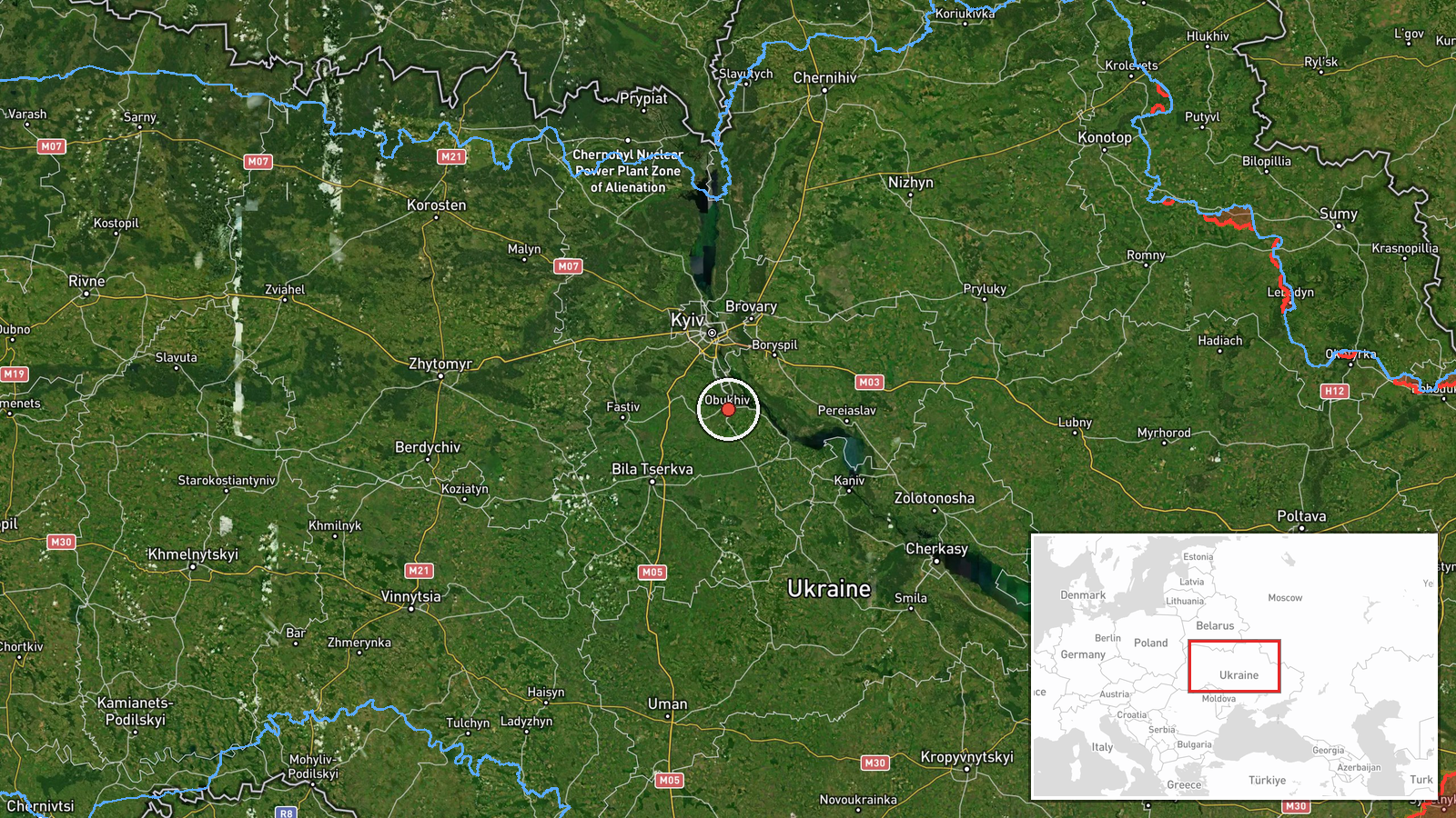
Ukrainian air monitoring reported the transit of Russian jet-powered Shahed (Geran-3) drones over Obukhiv and Pereiaslav in Kyiv Oblast on 14 October at 07:10 UTC. One drone was identified as a Geran-3, a cruise-type variant, while the second was described as Shahed-type. The reports indicate drone passage through populated areas rather than confirmed strikes. The observation comes hours after similar drone activity was detected in the same region on 13 October.
Context and assessment
Obukhiv and Pereiaslav are towns in central Kyiv Oblast, roughly 40–50 km south and southeast of the capital. Both settlements have previously experienced Russian drone transit and strikes targeting civilian infrastructure. The pattern of drone activity on 13–14 October shows sustained Russian operations across multiple corridors in the oblast, with detected transits also over Vasylkiv and Chabany. These routes suggest either strikes against dispersed targets or passage toward more distant objectives. The recurrence of Geran-3 variants, which carry larger warheads than standard Shahed-131/136 models, may indicate targeting of infrastructure with greater structural resilience.
Sources and confidence
Reported by Telegram channel @war_monitor, a Ukrainian air defence monitoring account. Single-source reporting limits independent verification; no cross-confirmation from other Ukrainian monitoring channels is noted in available data. Confidence score of 6.0 reflects standard Ukrainian monitoring channel reliability but the absence of secondary sources. Confirmation would strengthen confidence; contradictory reports or lack of subsequent damage assessments would lower it.
Location
Obukhiv is a town in central Kyiv Oblast at approximately 50.12°N, 30.63°E, located roughly 45 km south of Kyiv city. Pereiaslav lies further southeast in the same oblast. Both are positioned in relatively open terrain with surrounding villages and industrial zones. The settlements sit near historical transport corridors and Soviet-era infrastructure, common Russian targeting categories.
Related events nearby
- Ukrainian air monitoring: 1 Russian jet-powered Shahed (Geran-3) drone heading toward Obukhiv.2026-10-13 13:36 UTC · Drone Transit · Obukhiv, Ukraine
- Ukrainian air monitoring: 1 Russian Shahed-type drone over Kozyn; 1 Russian Shahed-type drone over Katiuzhanka2026-10-14 08:44 UTC · Drone Transit · Kozyn, Ukraine
- Ukrainian air monitoring: 1 Russian Shahed-type drone over Vasylkiv.2026-10-14 07:11 UTC · Drone Transit · Vasylkiv, Ukraine
- Ukrainian air monitoring: 2+ Russian jet-powered Shahed (Geran-3) drones from Kyiv Oblast toward Vasylkiv.2026-10-13 14:03 UTC · Drone Transit · Vasylkiv, Ukraine
- Ukrainian air monitoring: 1 Russian jet-powered Shahed (Geran-3) drone heading toward Vasylkiv.2026-10-13 13:51 UTC · Drone Transit · Vasylkiv, Ukraine
▶ View this event on the live map

Intel Mapper aggregates open-source reports from monitored Telegram and X channels, geolocates them, cross-checks duplicates across sources and assigns a confidence score. Entries are updated as new confirmations arrive. Read how we verify events.