Israel expands territorial control in West Bank by approximately 27 square kilometres
What happened
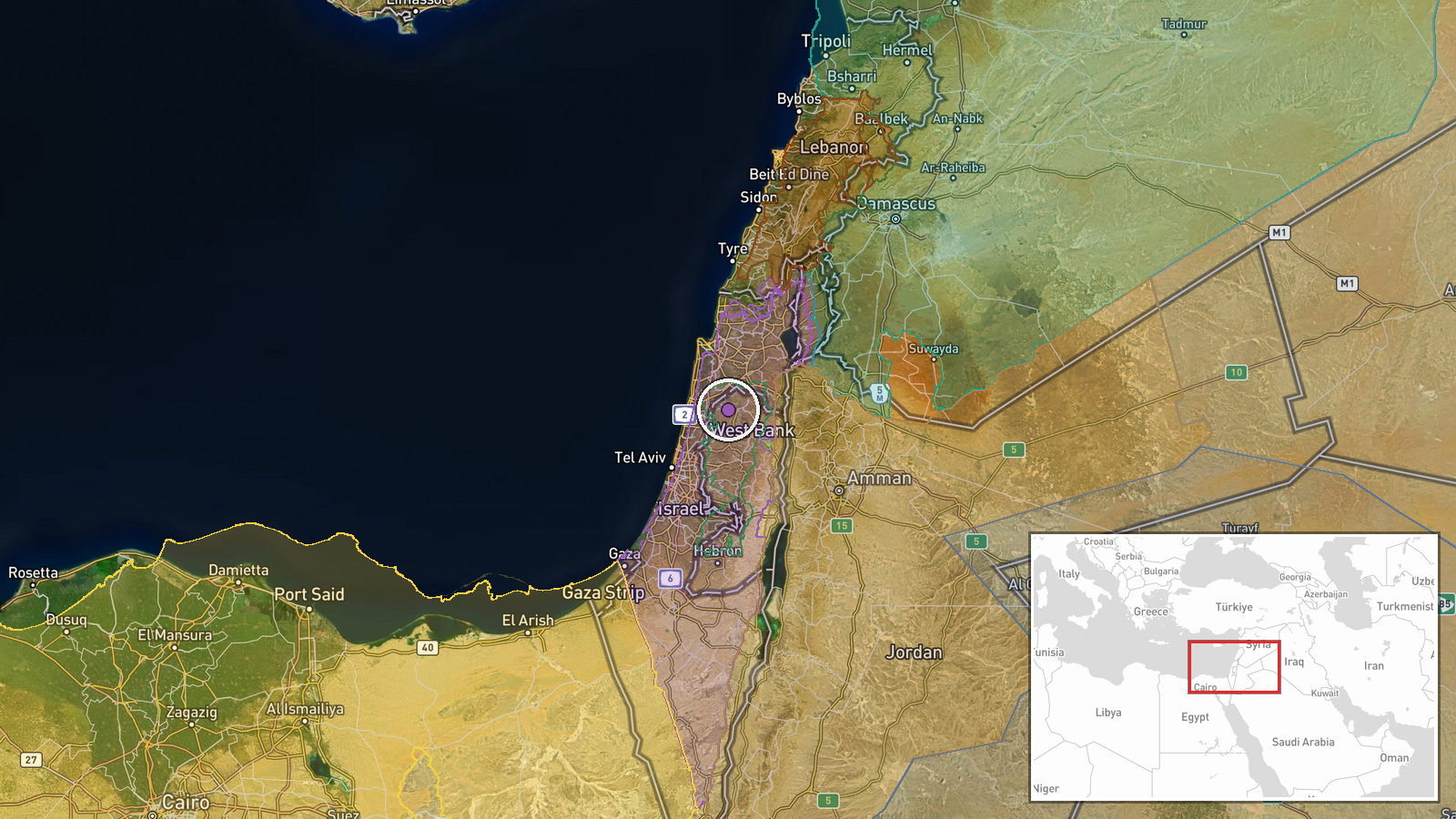
According to a Wiki control map update, Israeli forces expanded their territorial control in the West Bank by roughly 27 square kilometres on 23 September. The report does not specify the exact locations of the expanded areas, the mechanisms of expansion, or whether the change resulted from active military operations or administrative boundary adjustments. The update was recorded at 05:59 UTC.
Context and assessment
The reported expansion occurs amid a documented pattern of Israeli military activity across multiple fronts. On 22 September, King Abdullah II of Jordan characterised Israeli actions in the West Bank as forced displacement constituting war crimes. The same day saw Israeli forces advance near UN positions in Syria's Quneitra Governorate and establish a checkpoint at the Syria-Jordan border. These concurrent developments suggest sustained Israeli military pressure across the occupied Palestinian territories and neighbouring regions. The West Bank, home to roughly 2.7 million Palestinians, has experienced periodic Israeli operations and settlement expansion for decades. Whether this expansion reflects new military gains, regularisation of previously disputed territory, or map correction remains unclear from available reporting.
Sources and confidence
Single source: Wiki control map, a crowdsourced conflict mapping platform. No independent verification from military analysts, satellite imagery providers, or Palestinian authorities reported. Confidence score of 7.5 reflects the map's general reliability but the absence of corroboration on specific area calculations. Confirmation from satellite imagery analysis or official statements would substantially raise confidence.
Location
West Bank, Palestinian territory under varying degrees of Israeli military and administrative control. Coordinates (32.42°N, 35.16°E) place the general event in the central West Bank region. Geo-precision rated as regional rather than site-specific, indicating the 27 km² expansion spans multiple locations rather than a single defined area.
Related events nearby
- Israeli delegation walked out of UN General Assembly during Turkish President Erdoğan's address, in response t2026-09-22 15:52 UTC · Statement ·
- King Abdullah II declares Israeli actions in West Bank constitute forced displacement—a war crime. He rejects 2026-09-22 15:23 UTC · Statement · Amman, Jordan
- Israeli occupation forces established a temporary checkpoint at Sad Al-Raqad Bridge on the administrative bord2026-09-22 14:36 UTC · Security · Sad Al-Raqad Bridge, Quneitra-Daraa Border, Syria
- Israeli drone conducted low-altitude overflight near journalists in Lebanon. No casualties or strikes reported2026-09-22 10:41 UTC · Combat Aircraft · Nabatiyeh Governorate, Lebanon
- Israeli occupation forces advanced westward into Saida al-Hanoute village in Quneitra Governorate using three 2026-09-22 13:39 UTC · Combat · Saida al-Hanoute, Quneitra Governorate, Syria
▶ View this event on the live map
Intel Mapper aggregates open-source reports from monitored Telegram and X channels, geolocates them, cross-checks duplicates across sources and assigns a confidence score. Entries are updated as new confirmations arrive. Read how we verify events.