IDF dismantles extensive Hezbollah tunnel network in southern Lebanon
What happened
The Israeli Defense Force reported locating and dismantling an underground tunnel network spanning hundreds of meters in southern Lebanon on October 12. According to the IDF statement, the tunnels contained weapons caches including Kalashnikov rifles, a machine gun, and anti-tank missiles, along with hideouts. The IDF said it neutralized dozens of additional Hezbollah infrastructure sites and weapons in the area. The IDF reiterated its commitment to the ceasefire agreement following the operation.
Context and assessment
Southern Lebanon has long served as a stronghold for Hezbollah military infrastructure, particularly in areas near the Israeli border. The discovery and dismantling of tunnel networks reflects ongoing IDF operations to neutralize militant capabilities in the region, consistent with enforcement activities observed since October 6. This operation occurs amid heightened tensions along the northern Israeli border, including an air defense engagement near Kfar Shouba on October 12 and a cross-border incident the previous day. Such tunnel discoveries may indicate the IDF's focus on degrading Hezbollah's operational capacity while maintaining adherence to ceasefire terms.
Sources and confidence
Reported by X account @Osint613 on October 12, with no independent cross-confirmation visible in available sources. Single-source reporting limits verification of specific claims regarding tunnel dimensions, weapon types, and quantities. Confidence score of 6.8 reflects IDF's official statement nature but lack of external corroboration. Independent verification from Lebanese authorities or humanitarian observers would strengthen confidence.
Location
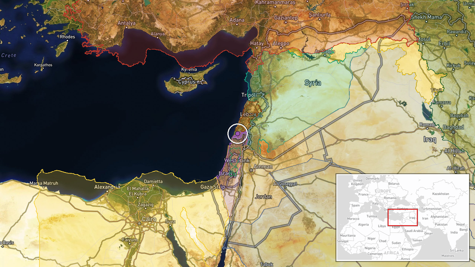
Southern Lebanon, designated at regional precision (approximately 33.25°N, 35.35°E). The area lies within Hezbollah's traditional operational zone near the Israeli border, encompassing settlements and terrain favorable to underground fortification. Nearby features include the Ramim Ridge and Kfar Shouba observation area across the border in Israel's Upper Galilee.
Related events nearby
- Unidentified object crossed Israel's northern border; search ongoing. IDF states if confirmed as drone, respon2026-10-11 20:02 UTC · Report · Northern Israel Border, Israel
- Explosion near Pe'er observation point on Ramim Ridge in northern Israel injured 8-12 schoolchildren and teach2026-10-12 12:15 UTC · Report · Pe'er observation point, Ramim Ridge, Upper Galile
- IDF air defense system launched interceptor at unidentified aerial target over southern Lebanon in area of Isr2026-10-12 07:23 UTC · Air Defense · Near Kfar Shouba, Nabatieh, near Israeli operation
- One killed, 19 wounded (including schoolchildren and teachers) by unexploded ordnance (UXO) blast near Pe'er o2026-10-12 13:18 UTC · Report · Ramim Ridge, Pe'er Observation Point, Northern Isr
- Israeli forces conducting multiple military operations and violations in Quneitra and Daraa rural areas (Octob2026-10-11 19:54 UTC · Combat · Quneitra Governorate, Syria
▶ View this event on the live map

Intel Mapper aggregates open-source reports from monitored Telegram and X channels, geolocates them, cross-checks duplicates across sources and assigns a confidence score. Entries are updated as new confirmations arrive. Read how we verify events.