Tanker hit by unknown projectile in Strait of Hormuz; UK Maritime Trade Operations confirms
What happened
A tanker transiting the Strait of Hormuz was struck by an unidentified projectile on October 13, according to a verified source cited by UK Maritime Trade Operations. The incident remains under investigation, with the vessel identity and origin of the projectile not yet established. Maritime authorities have issued a precautionary advisory for vessels to exercise heightened caution while transiting the strategic waterway.
Context and assessment
The incident occurs amid escalating maritime tensions in the Strait of Hormuz, one of the world's most critical chokepoints for global oil trade. This striking follows at least four other tanker attacks in the same waters on October 12 and a reported burning tanker in the eastern strait on October 13, suggesting a pattern of maritime violence over a 24-hour period. A U.S. Navy warning to an unidentified vessel on October 13 underscores heightened military posturing. The repeated targeting of commercial shipping in concentrated waters may indicate either sustained naval operations or deliberate economic pressure through maritime disruption. Attribution remains unclear.
Sources and confidence
Reported via X (@Osint613) citing UK Maritime Trade Operations, a recognized official maritime authority. Single source limits independent verification; incident listed at low confidence (6.6) due to minimal corroboration. Confidence would rise with statements from affected vessel operators, port authorities, or independent maritime safety organizations. Additional reporting of vessel identity and projectile origin would strengthen assessment.
Location
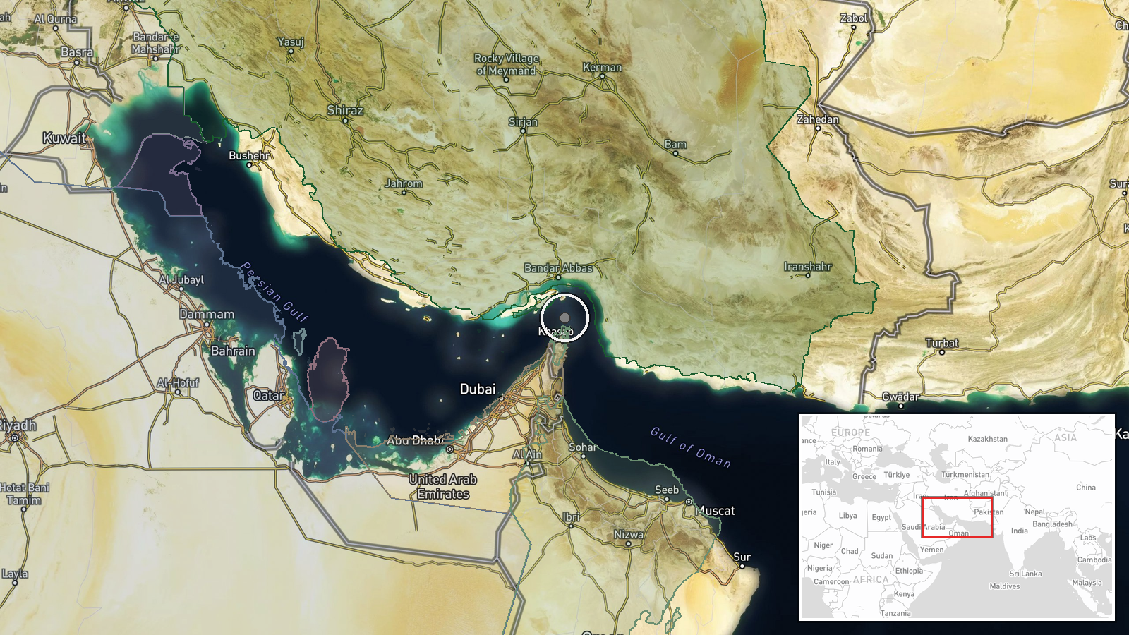
The Strait of Hormuz forms the narrow passage between Iran and Oman connecting the Persian Gulf to the Gulf of Oman. Coordinates place the report in the central strait region (26.55°N, 56.4°E). Precision is regional due to the waterway's width; the exact point of impact has not been publicly specified. The strait's strategic importance makes it a high-risk zone for maritime incidents.
Related events nearby
- IRGC Navy released footage showing an oil tanker burning in the eastern Strait of Hormuz after Iranian strike.2026-10-13 14:36 UTC · Report · East of Strait of Hormuz, Persian Gulf
- U.S. Navy issued a warning to an unidentified vessel on VHF Ch-16 in the Strait of Hormuz, demanding it revers2026-10-13 12:54 UTC · Naval · Strait of Hormuz, Persian Gulf
▶ View this event on the live map

Intel Mapper aggregates open-source reports from monitored Telegram and X channels, geolocates them, cross-checks duplicates across sources and assigns a confidence score. Entries are updated as new confirmations arrive. Read how we verify events.