US Navy F-35C prepares to launch from USS George Washington in the Philippine Sea
What happened
A CENTCOM post on X, as relayed by the account @Osint613, shows a U.S. Navy sailor signaling an F-35C Lightning II as it prepares to take off from the flight deck of the aircraft carrier USS George Washington (CVN 73). The post is dated October 19, 2026, and the item was logged at 17:59 UTC. The caption is a brief operational image description with no mission, destination or operating area given. The aircraft is identified as an F-35C, the carrier-variant Lightning II flown by the Navy. The reported location, the Philippine Sea east of Luzon, is an approximate regional label rather than a confirmed position for the ship or aircraft. The report contains no details of purpose or sortie timing, and nothing in the source indicates a hostile event or casualties.
Context and assessment
The Philippine Sea lies between Luzon, Taiwan and the Ryukyu chain, making it one of the most closely watched maritime areas in the western Pacific. A carrier operating there is a visible signal of American naval presence, but flight-deck operations are routine training and readiness activity, so a single image does not indicate a particular mission. The related events add some weight to the context. Japan's Joint Staff reportedly confirmed three PLA Navy ships, a Luyang III destroyer, a Jiangkai II frigate and a Fuchi supply ship, south of Miyako on October 16, and they then transited onward. Three days later, a separate single-source claim said USS Theodore Roosevelt had departed Yokosuka and would bring three carriers to CENTCOM, a claim the data does not verify. Taken together, the sequence suggests a period of elevated naval activity across the first island chain and in the wider Indo-Pacific. Operationally, the image may reflect air wing preparation or readiness cycles, but the material does not show the George Washington engaged in any contingency. Any link between the PLA movements and this flight-deck photograph should be treated as inference rather than established fact.
Sources and confidence
The item rests on one channel, the X account @Osint613, which relayed a CENTCOM post containing the quoted caption. The original wording is included in the data, so attribution to the command is traceable, but no independent outlet or second account has confirmed the timing, the aircraft or the location. The confidence score of 6.6 reflects an official-origin statement that has passed through a single relay, offset by the lack of mission detail and the low location confidence. Confidence would rise with a CENTCOM or Navy release naming the ship's position, or with imagery geolocated independently by a second analyst. It would fall if the image is shown to predate the stated date or to depict a different carrier.
Location
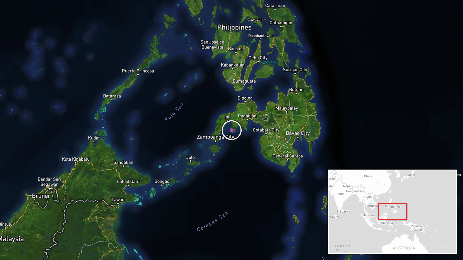
The map pin sits at 7.38 N, 122.76 E, which lies over the southern Philippines near Mindanao rather than the Philippine Sea east of Luzon named in the label, so the coordinates should not be read as the ship's position. The location is a regional approximation, not a settlement or facility. The broader setting is open ocean between Luzon, Taiwan and the Ryukyu Islands, with the Luzon Strait and Okinawa as key nearby reference points.
Related events nearby
- Japan's Joint Staff confirmed three PLA Navy ships (Luyang III destroyer 122, Jiangkai II frigate 576, Fuchi s2026-10-19 09:34 UTC · Naval · Philippine Sea, ~220 km south of Miyako Island, Ok
- USS Theodore Roosevelt departed Yokosuka, Japan, resuming transit toward CENTCOM; source claims this brings th2026-10-19 07:32 UTC · Aircraft Carrier · Philippine Sea, off Japan
▶ View this event on the live map

Intel Mapper aggregates open-source reports from monitored Telegram and X channels, geolocates them, cross-checks duplicates across sources and assigns a confidence score. Entries are updated as new confirmations arrive. Read how we verify events.