Israeli forces continue demolishing structures in West Bank amid expansion
What happened
Israeli forces reportedly continued demolishing residential and agricultural structures across the West Bank on September 23, according to a post on X by the account ConflictTR. The report does not specify which settlements or communities were affected, the number of structures demolished, or provide detailed timing beyond the date. The post included a link but offered limited specifics on the scope or nature of the demolitions reported.
Context and assessment
The reported demolitions align with a pattern of Israeli control consolidation in the West Bank. Related reports from the same day indicate Israeli forces expanded territorial control by approximately 27 square kilometers in the region. These actions occur amid heightened tensions following statements by regional leaders; King Abdullah II of Jordan characterized Israeli actions in the West Bank as forced displacement constituting war crimes, while Israeli Defense Minister Israel Katz made threats regarding potential displacement in Gaza. The demolitions of civilian structures typically precede or accompany settlement expansion and infrastructure development in occupied territories, reflecting ongoing territorial disputes and Palestinian displacement concerns.
Sources and confidence
Reported by a single X account, ConflictTR, with no cross-confirmation from additional independent sources. The confidence score of 6.0 reflects the single-source nature of the report and lack of verifiable specifics such as location names, structure counts, or corroborating documentation. Confirmation from international organizations, humanitarian groups, or multiple media outlets would substantially raise confidence; additional geographic precision and quantified damage assessments would also strengthen reliability.
Location
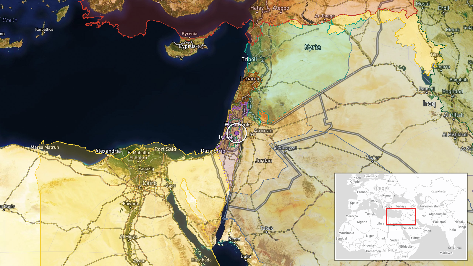
The West Bank broadly, with coordinates indicating the central region (latitude 32.0, longitude 35.3). Precision is regional rather than site-specific, preventing identification of particular settlements or communities affected. The West Bank encompasses Israeli settlements, Palestinian municipalities, and disputed territory between the Jordan River and the Green Line, with ongoing territorial control contested between Israeli forces and Palestinian authorities.
Related events nearby
- Israel forces expanded control (~27 km²) in the West Bank area per updated conflict control map.2026-09-23 05:59 UTC · Combat · West Bank
- Israeli delegation walked out of UN General Assembly during Turkish President Erdoğan's address, in response t2026-09-22 15:52 UTC · Statement ·
- King Abdullah II declares Israeli actions in West Bank constitute forced displacement—a war crime. He rejects 2026-09-22 15:23 UTC · Statement · Amman, Jordan
- Israeli occupation forces established a temporary checkpoint at Sad Al-Raqad Bridge on the administrative bord2026-09-22 14:36 UTC · Security · Sad Al-Raqad Bridge, Quneitra-Daraa Border, Syria
- Israeli occupation forces advanced westward into Saida al-Hanoute village in Quneitra Governorate using three 2026-09-22 13:39 UTC · Combat · Saida al-Hanoute, Quneitra Governorate, Syria
▶ View this event on the live map
Intel Mapper aggregates open-source reports from monitored Telegram and X channels, geolocates them, cross-checks duplicates across sources and assigns a confidence score. Entries are updated as new confirmations arrive. Read how we verify events.