Reported footage shows Israeli tank blocking road outside old Quneitra Governorate building
What happened
A post on the Telegram channel @AJSyriaNow, logged for 20 October 2026 at 14:20 UTC, carries footage that reportedly shows an Israeli tank blocking the road in front of the old building of the Quneitra Governorate in Quneitra, southern Syria. The original Arabic caption describes a tank cutting off the road in front of the old governorate building, while the event summary uses the phrase Israeli occupation tank, reflecting the channel's framing. The post is the only source logged for this event, and no independent confirmation of the footage's date or exact position has been recorded. The attack type is listed as Tank, but the record describes a blockade rather than a strike, and no casualties or damage are reported. The actor is attributed to the Israel Defense Forces.
Context and assessment
Quneitra city is the administrative seat of the governorate that bears its name, on the southern Syrian plateau close to the Golan Heights. Since Israeli forces moved into the buffer zone set up after the 1974 disengagement agreement, and expanded their presence after the collapse of the Assad government in December 2024, the Quneitra area has been a recurring focus of ground activity. The related events logged around this report show a sequence rather than an isolated incident. Earlier on 20 October, two tanks reportedly advanced into Tal al-Hawa, west of Jubata al-Khashab. Later that day, a civilian described being detained during an incursion near Madinat al-Salam. The previous evening, a temporary checkpoint at the Al-Alam roundabout reportedly detained a young man, and flares were fired near the Jubata al-Khashab reserve. A farmer also reported olive trees uprooted in Saida al-Hanut before harvest. Together these reports point to armored movement, checkpoints, detentions and land disturbance across several villages. A tank blocking a road in front of a governorate building may signal a show of presence in the administrative centre, or control of an access route, but the data does not establish the purpose. A single image of a blocked road cannot by itself show intent or duration.
Sources and confidence
The event rests on one Telegram channel, @AJSyriaNow, which is the only entry in the sources list, so cross-confirmation status is single-source. The confidence score of 7.5 out of 10 is relatively high for a single channel, likely reflecting the presence of visual footage and the fact that related reports from the same area align in timing and geography. Confidence would rise if a wire service, a Syrian local outlet, UN observers or geolocated imagery matched the scene. It would fall if the footage were shown to predate the reported date, or if the road and building could not be matched.
Location
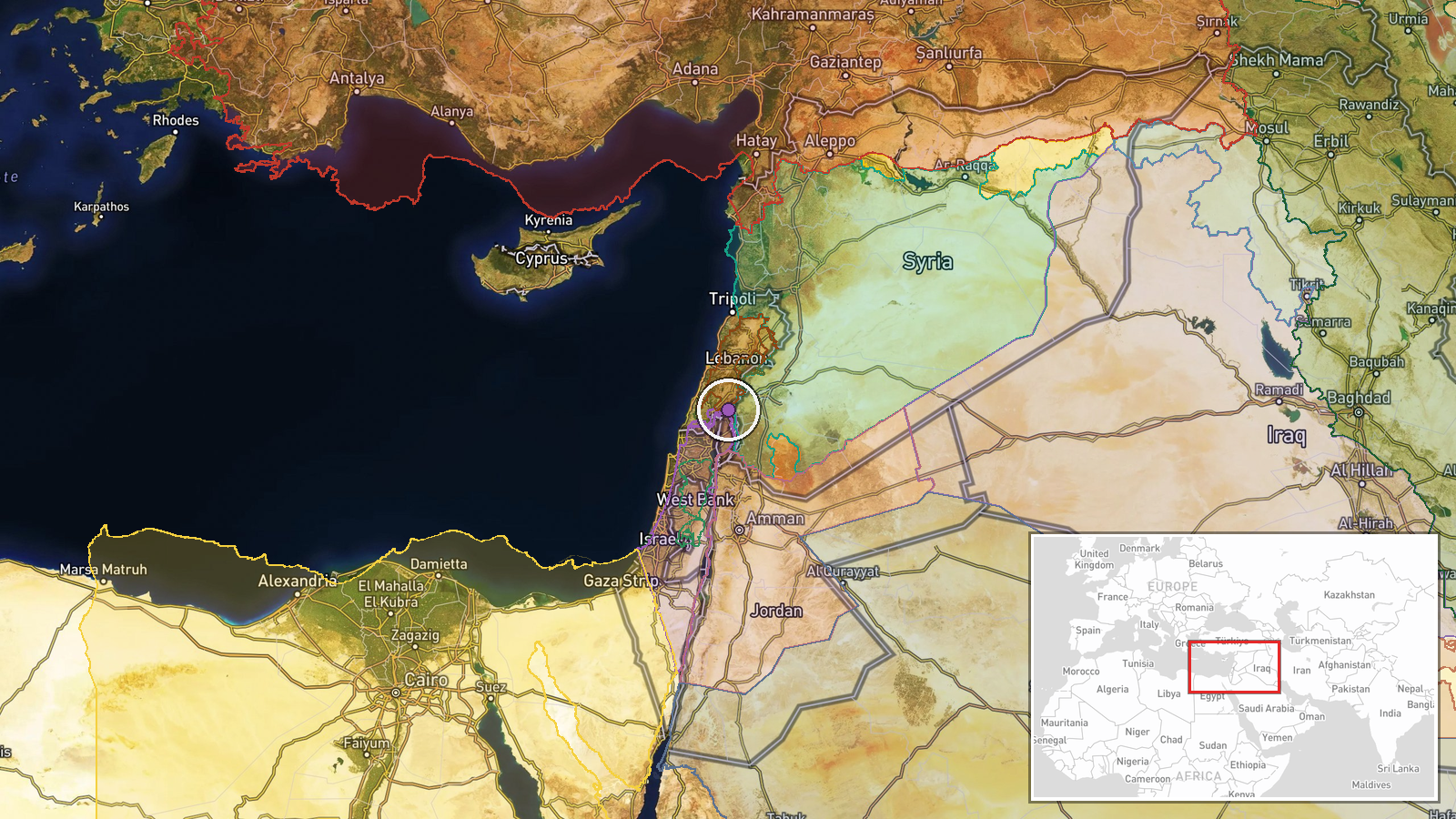
The coordinates place the event at the centre of Quneitra city, but geographic precision is recorded as region-level and location confidence as low, so the pin marks the governorate area rather than a verified street position. Quneitra lies on the southern Syrian plateau near the Golan Heights and the 1974 ceasefire line, within the UN-monitored area of separation. The Jubata al-Khashab nature reserve and villages such as Tal al-Hawa lie to the north in the surrounding countryside.
Related events nearby
- Israeli forces advanced with two tanks into Tal al-Hawa, west of Jubata al-Khashab in northern Quneitra countr2026-10-20 09:52 UTC · Tank · Tal al-Hawa, Jubata al-Khashab, Quneitra Governora
- Civilian recounts being detained by an Israeli occupation patrol during an incursion near a flower nursery in 2026-10-20 13:29 UTC · Security · Madinat al-Salam, Quneitra Countryside, Syria
- Israeli forces set up a temporary checkpoint at Al-Alam roundabout in Quneitra countryside and detained a youn2026-10-19 18:59 UTC · Security · Al-Alam Roundabout, Quneitra Countryside, Syria
- Per a farmer's account, Israeli occupation forces bulldozed and uprooted olive trees in his field in Saida al-2026-10-20 10:04 UTC · Report · Saida al-Hanut, Quneitra Governorate, Syria
- Israeli army fires illumination flares near Jubata al-Khashab reserve in northern Quneitra countryside, Syria.2026-10-19 20:48 UTC · Security · Jubata al-Khashab Nature Reserve, Quneitra Governo
▶ View this event on the live map

Intel Mapper aggregates open-source reports from monitored Telegram and X channels, geolocates them, cross-checks duplicates across sources and assigns a confidence score. Entries are updated as new confirmations arrive. Read how we verify events.