Unidentified warplanes reported flying low over western Rif Dimashq countryside, Syria
What happened
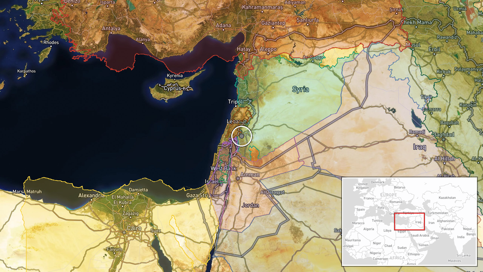
Circulating footage, reported by the Telegram channel @AJSyriaNow on 22 October 2026 at 07:53 UTC, shows warplanes flying at low altitude over the countryside of western Rif Dimashq, Syria. The original Arabic caption describes the footage as circulating, which signals that it has not been independently verified, and it refers to combat aircraft flying low over the area. The post does not identify the air force or operator, the aircraft type, the mission, whether the aircraft were armed, or whether any strike took place. No casualties, targets or damage are described in the available wording. The location is given only at regional level, so the footage cannot be tied to a specific village from the information provided. It should be treated as an unverified visual observation pending geolocation and confirmation from other sources.
Context and assessment
Western Rif Dimashq sits between the Syrian capital and the Lebanese border, an area that has seen mixed security activity in recent years. The footage arrives amid a cluster of security reports from southern and southwestern Syria over roughly one day. Earlier on 22 October, Israeli forces reportedly advanced into Jamla in western Daraa and killed a young man, and Israeli forces reportedly blocked a UNDOF patrol at Tarnaja in northern Quneitra. The previous evening, Israeli artillery was reportedly fired around Abdin in western Daraa. Separately, Syrian security forces published field footage of an operation against an ISIS cell in Rankous, Rif Dimashq, the same governorate as the footage. These events are geographically distinct and their operators differ, so they should not be read as a single campaign. Low-altitude fixed-wing flights over the countryside could reflect reconnaissance, training, a show of presence, or a strike, and the footage alone cannot distinguish between these. Any operational meaning depends on confirming the operator, timing and target, none of which the report establishes.
Sources and confidence
The report rests on one Telegram channel, @AJSyriaNow, with no second outlet, wire service or official statement cross-confirming the footage in the available data. The confidence score of 7.8 reflects a relevant, dated post with a clear Arabic caption, offset by the absence of geolocation, operator attribution and corroboration. Confidence would rise if the footage were geolocated to a specific site, matched to a dated record, or reported by independent outlets or monitoring groups. It would fall if the clips were found to be older, recycled from another country or event, or unrelated to Syria. The event is not marked as corrected and has no origin location recorded.
Location
The coordinates are an approximate regional marker for the western Rif Dimashq countryside, not a confirmed site, and the location confidence is recorded as low. The area lies west of Damascus and includes agricultural valleys and rising terrain toward the Anti-Lebanon mountains near the Lebanese frontier. Terrain of this kind can affect how low-flying aircraft appear in footage and how well a clip can be matched to a particular ridge or village. Precise geolocation would need landmarks visible in the footage.
Related events nearby
- Israeli occupation forces blocked a UNDOF patrol from crossing the road in Tarnaja village, northern Quneitra 2026-10-22 06:51 UTC · Security · Tarnaja, Quneitra, Syria
- Israeli warplanes reported flying at low altitude over Quneitra Governorate skies, Syria, per X report.2026-10-22 08:02 UTC · Combat Aircraft · Quneitra, Syria
- Pistol shooting on the Damascus airport road sparks criticism and public demands for accountability.2026-10-21 16:54 UTC · Security · Damascus International Airport road, Damascus, Syr
- Field footage from the Syrian Internal Security Forces and General Intelligence operation against an ISIS cell2026-10-22 05:41 UTC · Police Operation · Rankous, Rif Dimashq, Syria
- Israeli occupation forces advanced into Jamla village in western Daraa countryside, killing a young man with d2026-10-22 05:15 UTC · Combat · Jamla, Daraa Governorate, Syria
▶ View this event on the live map

Intel Mapper aggregates open-source reports from monitored Telegram and X channels, geolocates them, cross-checks duplicates across sources and assigns a confidence score. Entries are updated as new confirmations arrive. Read how we verify events.