Russian Shahed drone tracked over Rivne city in northwest Ukraine
What happened
Ukrainian air monitoring reported a single Russian Shahed-type drone over Rivne city at 00:30 UTC on 14 October 2026. The report, issued by the Kyiv Post Special Operations Command (@kpszsu) on Telegram, identified the aircraft as a drone transit rather than a confirmed attack. This sighting followed earlier tracking of the same or similar aircraft approaching the city from the south and west over the preceding six hours.
Context and assessment
Rivne, located in northwestern Ukraine approximately 290 km west of Kyiv, has been under persistent drone surveillance and attack throughout the conflict due to its infrastructure, logistics nodes, and proximity to supply routes. The pattern of multiple Shahed drones converging on Rivne Oblast over 14 October—beginning with reports near Olevsk and Kostopil before reaching the city itself—suggests a coordinated reconnaissance or strike operation. Shahed drones, particularly the jet-powered Geran-3 variant reportedly used here, are frequently employed in multi-drone waves against urban targets. This incident continues a pattern of Russian air operations against northwestern Ukrainian cities, typically aimed at degrading military and civilian infrastructure.
Sources and confidence
Report sourced from Telegram channel @kpszsu (Kyiv Post Special Operations Command), a primary Ukrainian military monitoring account. Single-source reporting limits independent cross-confirmation; confidence of 8.0 reflects the source's established reliability but absence of corroboration from other monitoring channels. Confidence would increase with reports from additional Ukrainian air defense accounts or confirmation of impact; would decrease if subsequent reports contradicted the drone type or location.
Location
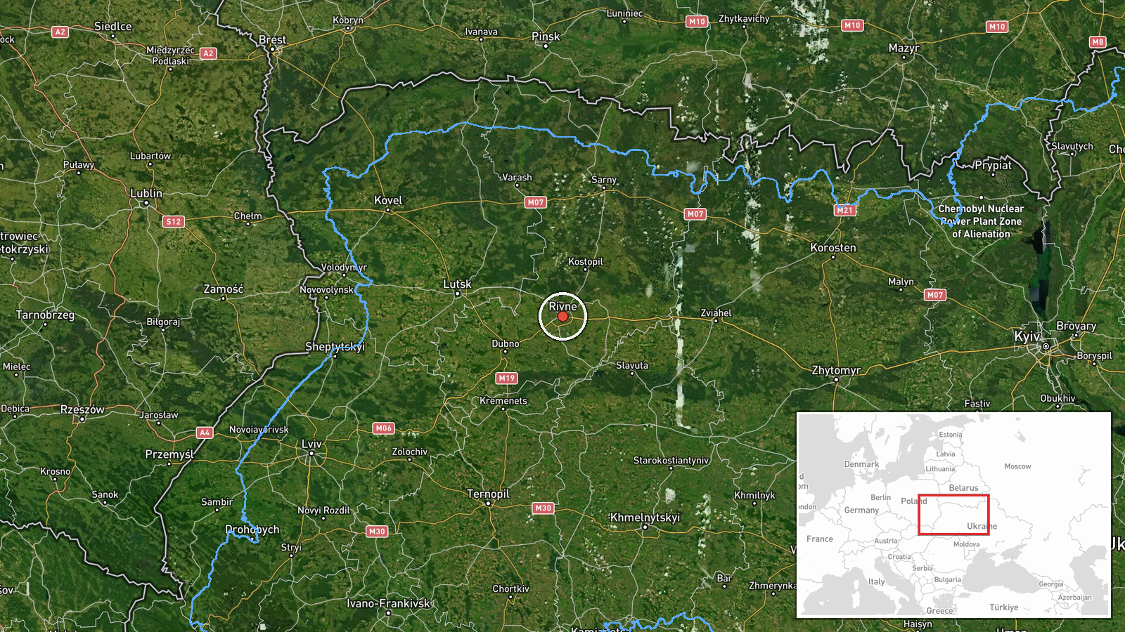
Rivne city, northwestern Ukraine, determined via Ukrainian military air monitoring systems. Located at approximately 50.62°N, 26.25°E in Rivne Oblast, the city serves as a regional administrative and logistics hub. The settlement sits roughly 290 km northwest of Kyiv and near major transport corridors connecting western and central Ukraine.
Related events nearby
- Ukrainian air monitoring: 1 Russian jet-powered Shahed (Geran-3) drone heading toward Rivne.2026-10-14 00:19 UTC · Drone Transit · Rivne, Ukraine
- Ukrainian air monitoring: 2+ Russian jet-powered Shahed (Geran-3) drones passing Olevsk, heading toward Rivne 2026-10-13 23:50 UTC · Drone Transit · Rivne Oblast, Ukraine
- Ukrainian air monitoring: 1 Russian jet-powered Shahed (Geran-3) drone from Khmelnytskyi Oblast toward Rivne O2026-10-13 18:45 UTC · Drone Transit · Rivne Oblast, Ukraine
- Ukrainian air monitoring: 2+ Russian jet-powered Shahed (Geran-3) drones heading toward Rivne Oblast.2026-10-13 18:03 UTC · Drone Transit · Rivne Oblast, Ukraine
- Ukrainian air monitoring: 1 Russian jet-powered Shahed (Geran-3) drone from Rivne Oblast toward Kostopil.2026-10-13 17:25 UTC · Drone Transit · Kostopil, Ukraine
▶ View this event on the live map

Intel Mapper aggregates open-source reports from monitored Telegram and X channels, geolocates them, cross-checks duplicates across sources and assigns a confidence score. Entries are updated as new confirmations arrive. Read how we verify events.