Russian Shahed drone tracked toward Krasyliv in western Ukraine
What happened
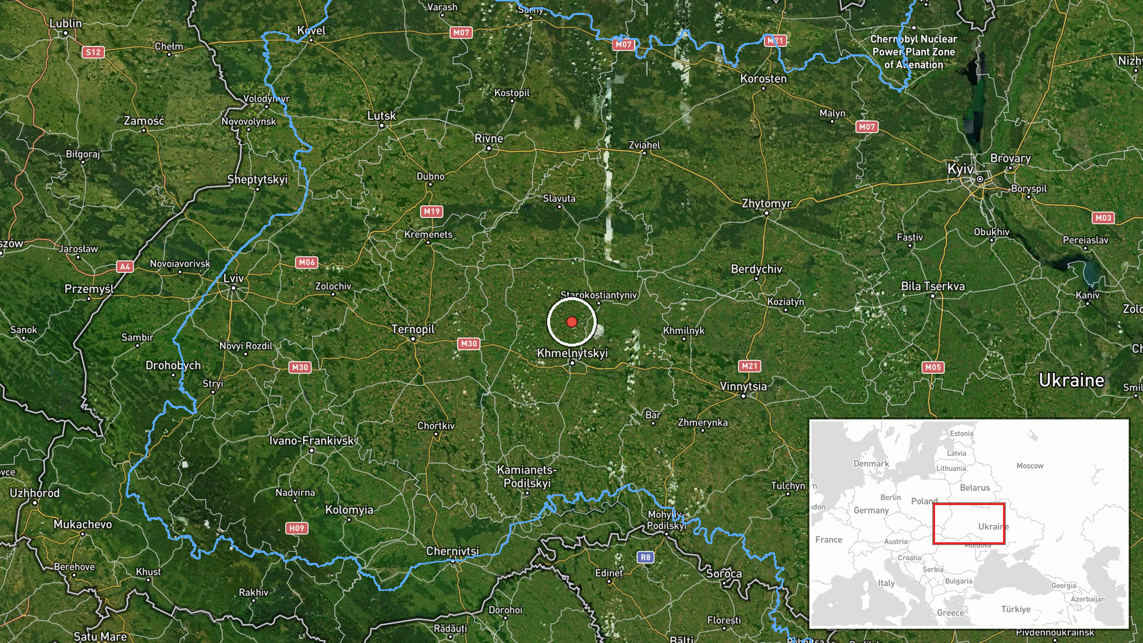
Ukrainian air monitoring detected a Russian jet-powered Shahed (Geran-3) drone heading toward Krasyliv in Khmelnytskyi Oblast on October 14 at 02:24 UTC. The report came via the Kyiv Post Special Operations Command Telegram channel. This represents a continuation of drone activity in the region, with similar detections reported multiple times over the preceding hours across Khmelnytskyi Oblast and its settlements.
Context and assessment
Krasyliv, a town of roughly 13,000 in western Khmelnytskyi Oblast near the Ikva River, sits approximately 100 kilometers west of major population centers. The Shahed/Geran-3 is a jet-powered loitering munition designed for standoff strikes. The repeated tracking of individual drones toward this area over several hours suggests either sustained targeting pressure or multiple launch waves. Such patterns often precede or accompany strikes on infrastructure, military positions, or logistical nodes. The western Ukrainian region has experienced intermittent drone activity throughout the conflict, though it remains relatively distant from active ground combat zones.
Sources and confidence
Reported solely by the Kyiv Post Special Operations Command (@kpszsu) Telegram channel. The confidence score of 8.0 reflects official Ukrainian air monitoring but single-source reporting. Confirmation from additional independent monitors or post-impact assessment would strengthen confidence. The related events from October 13 demonstrate consistent tracking capability but do not indicate strike outcomes.
Location
Krasyliv settlement, Khmelnytskyi Oblast, western Ukraine (49.65°N, 26.97°W). The town lies in the Ikva River valley, approximately 100 km southwest of Khmelnytskyi city and roughly 50 km from the Moldovan border. Geographic precision is classified as settlement-level based on Ukrainian air monitoring reports.
Related events nearby
- Ukrainian air monitoring: 1 Russian jet-powered Shahed (Geran-3) drone from Khmelnytskyi Oblast toward Krasyli2026-10-13 23:41 UTC · Drone Transit · Krasyliv, Ukraine
- Ukrainian air monitoring: 1 Russian jet-powered Shahed (Geran-3) drone over Khmelnytskyi.2026-10-13 20:30 UTC · Drone Transit · Khmelnytskyi, Ukraine
- Ukrainian air monitoring: 1 Russian jet-powered Shahed (Geran-3) drone over Khmelnytskyi.2026-10-13 18:59 UTC · Drone Transit · Khmelnytskyi, Ukraine
- Ukrainian air monitoring: 1 Russian jet-powered Shahed (Geran-3) drone heading toward Khmelnytskyi.2026-10-13 17:27 UTC · Drone Transit · Khmelnytskyi, Ukraine
- Ukrainian air monitoring: 1 Russian jet-powered Shahed (Geran-3) drone heading toward Khmelnytskyi Oblast.2026-10-13 17:18 UTC · Drone Transit · Khmelnytskyi Oblast, Ukraine
▶ View this event on the live map

Intel Mapper aggregates open-source reports from monitored Telegram and X channels, geolocates them, cross-checks duplicates across sources and assigns a confidence score. Entries are updated as new confirmations arrive. Read how we verify events.