Russian Geran-3 drone tracked toward Dymer northwest of Kyiv
What happened
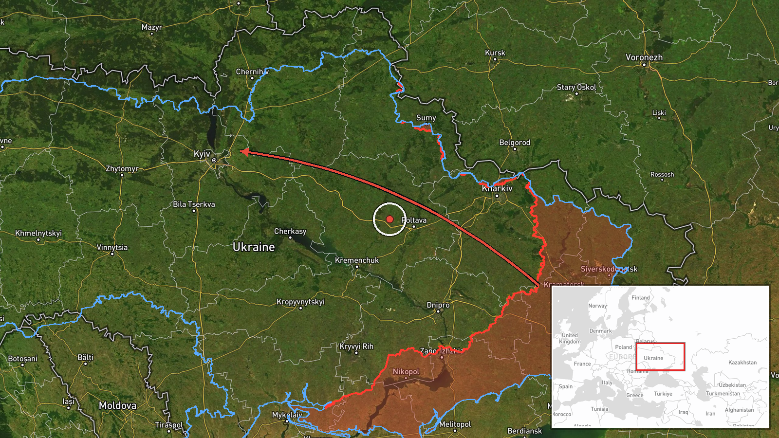
Ukrainian air monitoring reported one Russian jet-powered Shahed drone (designated Geran-3) transiting the airspace north of Kyiv on the morning of October 15. The drone was tracked passing Pivnichnyi, a settlement northwest of the capital, with a heading toward Dymer, located approximately 40 kilometers north-northwest of central Kyiv. The detection occurred at 01:52 UTC. The report originated from the Kyiv City Military Administration's Telegram channel.
Context and assessment
Dymer sits in the heavily contested zone northwest of Kyiv, where Russian forces have conducted sustained drone and missile operations against infrastructure and residential areas. This sighting is part of a coordinated multi-drone penetration detected over a 2-minute window: simultaneous reports tracked Geran-3s heading toward Borodianka (01:53 UTC) and multiple drones toward Ivankiv (01:54 UTC), suggesting a coordinated strike package. The pattern follows sustained Russian aerial pressure; ballistic missiles struck Kyiv's Desnyansky District the previous day, killing at least three and injuring 21. Geran-3 drones, cruise-missile-type systems with extended range and loiter capability, typically target critical infrastructure, military installations, or population centers. The northwestern approach corridor and multi-vector timing suggest deliberate targeting of dispersed assets across the metropolitan region.
Sources and confidence
Single source: Kyiv City Military Administration (@kpszsu) Telegram channel, which monitors Russian air activity in real time. Confidence score of 8.0 reflects established credibility of official Ukrainian air-defense monitoring but single-channel reporting. Cross-confirmation through related simultaneous Borodianka and Ivankiv detections supports the coordinated operation assessment. Confirmation would be strengthened by Ukrainian air-defense response reports or damage assessments.
Location
Dymer, a settlement in Kyiv Oblast approximately 40 km north-northwest of central Kyiv, located west of the Dnieper River in open terrain. Pivnichnyi (meaning 'Northern'), the reported observation point, lies further southwest. The area is characterized by mixed forest and agricultural land with scattered civilian and industrial infrastructure typical of the metropolitan fringe.
Related events nearby
- Ukrainian air monitoring: 1 Russian jet-powered Shahed (Geran-3) drone heading toward Borodianka.2026-10-15 01:53 UTC · Drone Transit · Borodianka, Ukraine
- Ukrainian air monitoring: 2+ Russian jet-powered Shahed (Geran-3) drones heading toward Ivankiv.2026-10-15 01:54 UTC · Drone Transit · Ivankiv, Ukraine
- Ukrainian air monitoring: 1 Russian ballistic missile over Kyiv.2026-10-14 04:00 UTC · Ballistic Missile · Kyiv, Ukraine
- Ukrainian air monitoring: 1 Russian ballistic missile over Kyiv.2026-10-14 03:45 UTC · Ballistic Missile · Kyiv, Ukraine
- Russian ballistic missile strikes 9-story residential building in Desnyanski District, Kyiv. 3 killed, 21 inju2026-10-14 05:25 UTC · Ballistic Missile · Dniprovsky District, Kyiv, Ukraine
▶ View this event on the live map

Intel Mapper aggregates open-source reports from monitored Telegram and X channels, geolocates them, cross-checks duplicates across sources and assigns a confidence score. Entries are updated as new confirmations arrive. Read how we verify events.