Russian jet-powered drones tracked toward Ivankiv and northwest Kyiv region
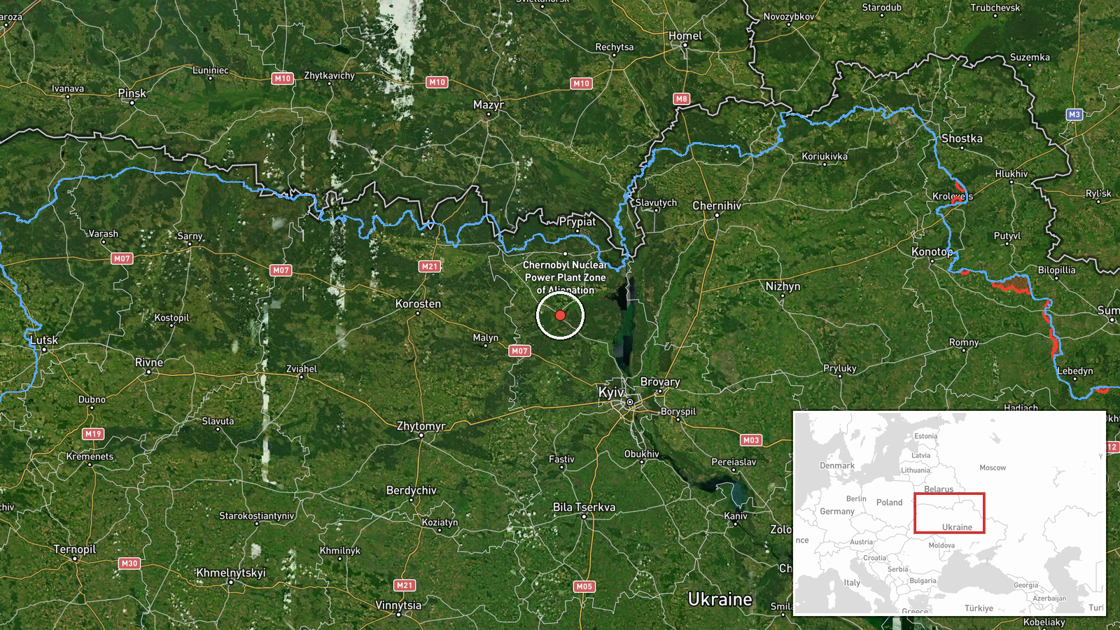
What happened
Ukrainian air monitoring reported at least two Russian jet-powered Shahed (Geran-3) drones heading toward Ivankiv from the north on the morning of October 15 at 01:54 UTC. The alert was issued by the Ukrainian air force command (@kpszsu). At nearly the same time, related reports indicated similar drone activity toward nearby towns in the northwest Kyiv region, including Dymer, Borodianka, and Makariv, suggesting a coordinated multi-vector strike pattern.
Context and assessment
Ivankiv lies approximately 60 km northwest of central Kyiv on the E30 highway corridor and has been a recurring target throughout the conflict due to its proximity to the capital and strategic transport routes. The Shahed (Geran-3) is a jet-powered cruise drone with extended range and endurance compared to earlier variants. The simultaneous detection of multiple drones across the northwest approaches—Dymer, Borodianka, Makariv, and Ivankiv—within a 2-minute window suggests a distributed strike package targeting the Kyiv metropolitan area and its approaches. This pattern aligns with Russian drone campaigns documented over preceding days, including a ballistic missile strike over Kyiv on October 14, indicating sustained pressure on Ukrainian infrastructure and civilian areas.
Sources and confidence
Single source: Ukrainian air force command via Telegram (@kpszsu). No cross-confirmation from independent monitoring or NATO sources is noted. Confidence score of 8.0 reflects official Ukrainian air monitoring channels as reliable on drone detections but limited source diversity. Confirmation from Ukrainian air defense responses or damage reports would raise confidence; contradictory reports would lower it.
Location
Ivankiv is a town in Kyiv Oblast, approximately 60 km northwest of central Kyiv at the intersection of the E30 highway and Teteriv River. Located in the historical Polesia region, it sits in the primary approach corridor used by Russian aircraft and long-range drones targeting the capital. Geographic precision is high (settlement-level).
Related events nearby
- Ukrainian air monitoring: 1 Russian jet-powered Shahed (Geran-3) drone passing Pivnichnyi, heading toward Dyme2026-10-15 01:52 UTC · Drone Transit · Dymer, Ukraine
- Ukrainian air monitoring: 1 Russian jet-powered Shahed (Geran-3) drone heading toward Borodianka.2026-10-15 01:53 UTC · Drone Transit · Borodianka, Ukraine
- Ukrainian air monitoring: 1 Russian jet-powered Shahed (Geran-3) drone passing Pivdennyi, heading toward Makar2026-10-15 02:45 UTC · Drone Transit · Makariv, Ukraine
- Ukrainian air monitoring: 1 Russian jet-powered Shahed (Geran-3) drone heading toward Makariv.2026-10-15 01:53 UTC · Drone Transit · Makariv, Ukraine
- Ukrainian air monitoring: 1 Russian ballistic missile over Kyiv.2026-10-14 04:00 UTC · Ballistic Missile · Kyiv, Ukraine
▶ View this event on the live map

Intel Mapper aggregates open-source reports from monitored Telegram and X channels, geolocates them, cross-checks duplicates across sources and assigns a confidence score. Entries are updated as new confirmations arrive. Read how we verify events.