Russian Shahed drone tracked toward Borodianka in overnight raid
What happened
Ukrainian air monitoring detected one Russian jet-powered Shahed (Geran-3) drone transiting toward Borodianka at 04:55 UTC on 15 October 2026. The report, posted by the Kyiv City Military Administration via Telegram, tracked the aircraft's approach to the settlement northwest of Kyiv. No impact or intercept details were included in the monitoring alert. The drone sighting occurred amid a broader Russian air operation involving multiple similar systems targeting settlements across the Kyiv region.
Context and assessment
Borodianka lies approximately 55 kilometers northwest of central Kyiv and has endured repeated strikes since early in the conflict. The town serves as a key transit point on approaches to the capital from the north. Russian Shahed-131/136 and Geran-series drones have become a staple of nighttime operations targeting the Kyiv region, often launched in coordinated waves. Related monitoring reports from the same operation indicate simultaneous or sequential Shahed transits toward Makariv, Dymer, and Ivankiv—settlements distributed across northwestern approaches to Kyiv. This pattern suggests a coordinated multi-axis drone campaign aimed at pressuring infrastructure and civilian areas rather than a single isolated attack.
Sources and confidence
Report sourced to Kyiv City Military Administration Telegram channel (@kpszsu), which operates as the primary Ukrainian official air monitoring feed. Single-source confirmation reflects the nature of real-time air defense alerts. Confidence score of 8.0 reflects the institutional credibility of the source and consistency with the reported wave pattern, though lack of independent cross-confirmation and absence of impact assessment leaves room for minor location uncertainty or intercept status changes.
Location
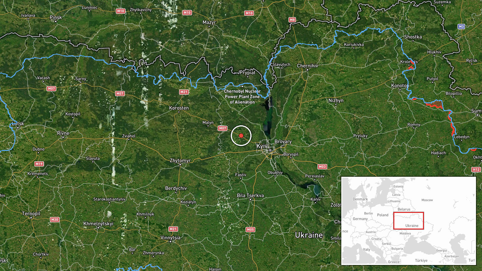
Borodianka is a settlement located at approximately 50.64°N, 29.92°E, roughly 55 km northwest of Kyiv's city center. The town sits in the Kyiv Oblast in the Polissya region, characterized by mixed forest and populated areas. Borodianka lies on a primary northern approach corridor to Kyiv and proximate to key transport routes and infrastructure nodes, making it a recurrent target in Russian drone operations.
Related events nearby
- Ukrainian air monitoring: 1 Russian jet-powered Shahed (Geran-3) drone heading toward Borodianka.2026-10-15 01:53 UTC · Drone Transit · Borodianka, Ukraine
- Ukrainian air monitoring: 1 Russian jet-powered Shahed (Geran-3) drone passing Pivdennyi, heading toward Makar2026-10-15 02:45 UTC · Drone Transit · Makariv, Ukraine
- Ukrainian air monitoring: 1 Russian jet-powered Shahed (Geran-3) drone heading toward Makariv.2026-10-15 01:53 UTC · Drone Transit · Makariv, Ukraine
- Ukrainian air monitoring: 1 Russian jet-powered Shahed (Geran-3) drone passing Pivnichnyi, heading toward Dyme2026-10-15 01:52 UTC · Drone Transit · Dymer, Ukraine
- Ukrainian air monitoring: 1 Russian jet-powered Shahed (Geran-3) drone heading toward Ivankiv.2026-10-15 05:16 UTC · Drone Transit · Ivankiv, Ukraine
▶ View this event on the live map

Intel Mapper aggregates open-source reports from monitored Telegram and X channels, geolocates them, cross-checks duplicates across sources and assigns a confidence score. Entries are updated as new confirmations arrive. Read how we verify events.