Russian Geran-3 drone tracked toward Ivankiv in early morning transit
What happened
Ukrainian air monitoring detected one Russian jet-powered Shahed drone, designated Geran-3, transiting toward Ivankiv on the morning of October 15 at 05:16 UTC. The drone was previously observed passing through the Pivnichnyi area at 04:51 UTC on the same trajectory. This sighting was part of a broader Russian drone operation targeting multiple locations in the Kyiv region, with concurrent drone transits recorded toward Borodianka, Krasiatychi, and Dymer during the early morning hours.
Context and assessment
Ivankiv lies approximately 80 kilometers northwest of Kyiv and serves as a transport hub near the Dnieper River. The settlement and surrounding areas have experienced repeated drone strikes throughout the conflict. The October 15 operation reflects a sustained Russian air campaign targeting civilian and infrastructure targets across the broader Kyiv region. Multiple simultaneous drone tracks—toward Ivankiv, Borodianka, Dymer, and Krasiatychi—suggest a coordinated multi-vector strike intended to overwhelm Ukrainian air defenses through distributed targeting. This pattern aligns with Russia's typical use of Geran-3 drones for standoff strikes against Ukrainian cities and logistics nodes.
Sources and confidence
Report originates from @kpszsu (Ukrainian postal service military channel) via Telegram. Single source detection with high location confidence. Cross-confirmation via related events showing the same drone track at 04:51 UTC strengthens reliability. Confidence score of 8.0 reflects corroborating transit data. Score could increase with Ukrainian air defense interception confirmation; would decrease if the drone's actual track diverged significantly from stated heading.
Location
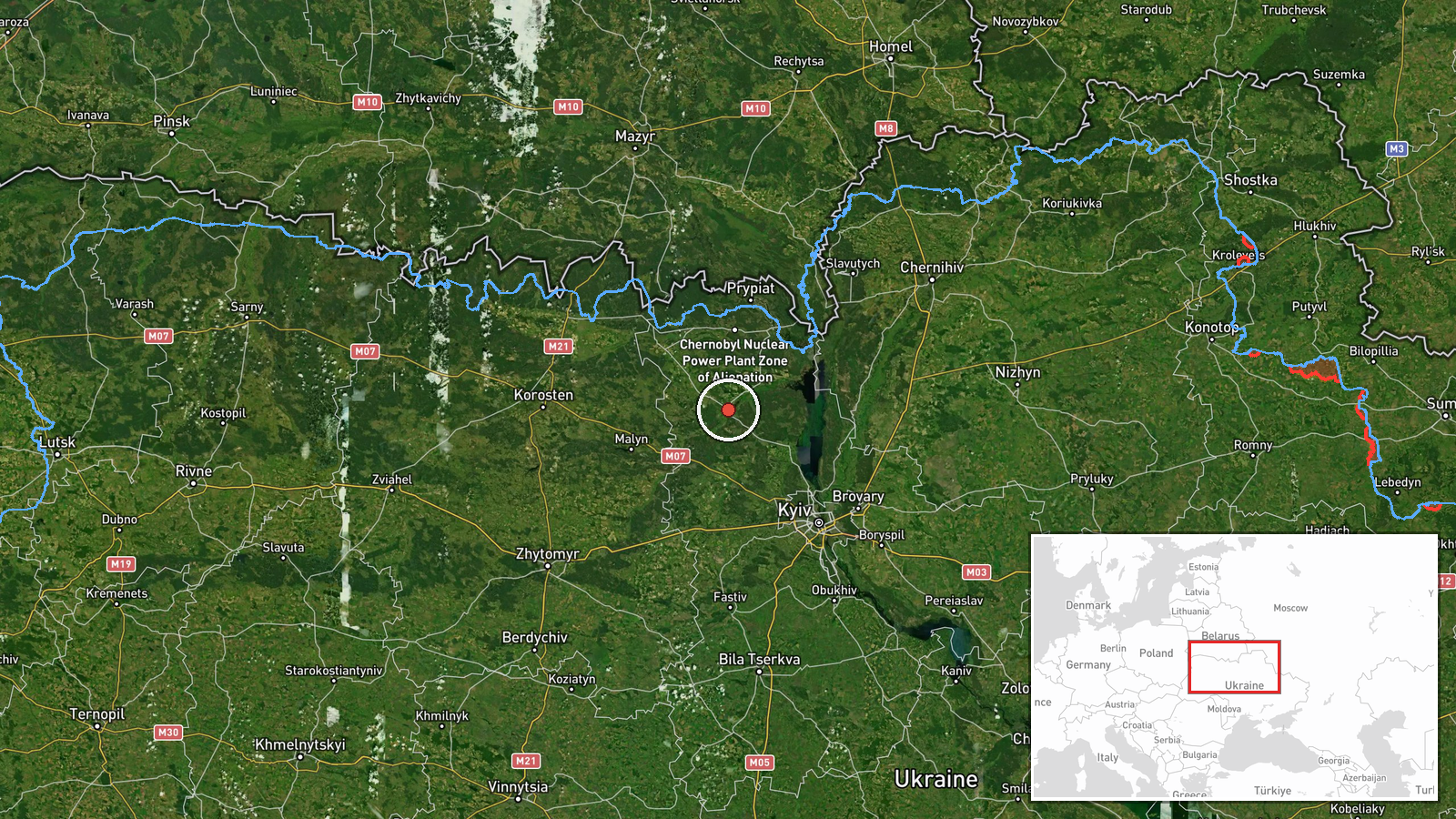
Ivankiv, a settlement in northern Kyiv Oblast, approximately 80 km northwest of central Kyiv. Located near the Dnieper River valley in relatively open terrain. Precision is settlement-level based on Ukrainian air monitoring coordinates (50.94°N, 29.90°E). The location sits on a major north-south transport corridor historically targeted by Russian strikes.
Related events nearby
- Ukrainian air monitoring: 1 Russian jet-powered Shahed (Geran-3) drone passing Pivnichnyi, heading toward Ivan2026-10-15 04:51 UTC · Drone Transit · Ivankiv, Ukraine
- Ukrainian air monitoring: 2+ Russian jet-powered Shahed (Geran-3) drones heading toward Ivankiv.2026-10-15 01:54 UTC · Drone Transit · Ivankiv, Ukraine
- Ukrainian air monitoring: 1 Russian jet-powered Shahed (Geran-3) drone heading toward Krasiatychi.2026-10-15 03:36 UTC · Drone Transit · Krasiatychi, Ukraine
- Ukrainian air monitoring: 1 Russian jet-powered Shahed (Geran-3) drone heading toward Dymer.2026-10-15 05:32 UTC · Drone Transit · Dymer, Ukraine
- Ukrainian air monitoring: 1 Russian jet-powered Shahed (Geran-3) drone passing Pivnichnyi, heading toward Dyme2026-10-15 01:52 UTC · Drone Transit · Dymer, Ukraine
▶ View this event on the live map

Intel Mapper aggregates open-source reports from monitored Telegram and X channels, geolocates them, cross-checks duplicates across sources and assigns a confidence score. Entries are updated as new confirmations arrive. Read how we verify events.