Russian Geran-3 drone tracked toward Makariv in predawn strike wave
What happened
Ukrainian air monitoring reported a single Russian jet-powered Shahed (Geran-3) drone heading toward Makariv from the north at 07:38 UTC on 15 October 2026. The Geran-3, a cruise missile-type attack drone, was tracked in transit to the settlement. This report came via the Telegram channel of the Ukrainian Air Force command. The drone represented one element in a broader Russian strike operation targeting multiple settlements across Kyiv Oblast.
Context and assessment
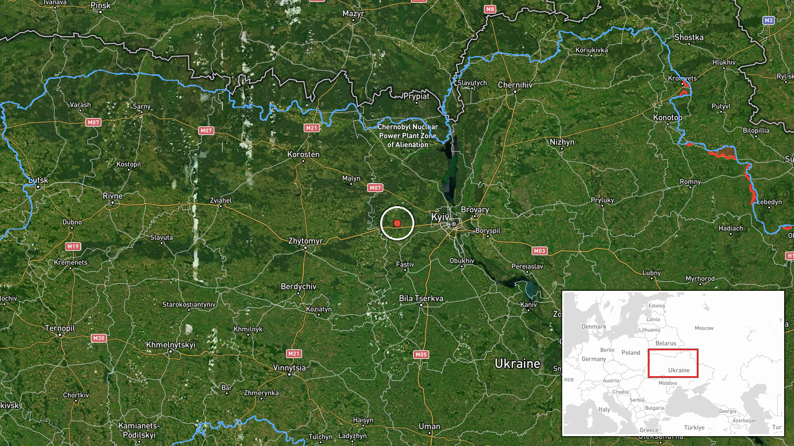
Makariv lies approximately 60 kilometers northwest of Kyiv in Kyiv Oblast, a region that has remained a recurring target for Russian strike operations despite its distance from the current frontline. The detection of this single Geran-3 drone was part of a coordinated Russian attack wave on 15 October that simultaneously directed multiple jet-powered Shaheds toward Makariv, Borodianka, and Fastiv—all civilian population centers in the northwestern suburbs and surrounding areas. Geran-3 drones, with extended range and warhead capacity, have been regularly employed against infrastructure and civilian targets. The repetition of such strikes suggests Russian intent to degrade Ukrainian civilian or economic infrastructure in the Kyiv region.
Sources and confidence
Sourced from Ukrainian Air Force command via Telegram (@kpszsu). Confidence level of 8.0 reflects single-source reporting on an ongoing transit detection. Cross-confirmation would require independent radar or visual confirmation; elevated confidence scores would require corroboration from multiple Ukrainian monitoring channels or NATO allies. Lower confidence could result if the drone was intercepted before reaching target, or if reporting details contradicted subsequent damage assessments.
Location
Makariv is a settlement in Kyiv Oblast approximately 60 kilometers northwest of the Ukrainian capital. It sits on the Irpin River valley in a historically significant area that saw Russian operations during the 2022 invasion. The settlement serves a regional administrative function and contains civilian infrastructure typical of mid-sized Ukrainian towns. Coordinates place the observation point at the settlement center.
Related events nearby
- Ukrainian air monitoring: 1 Russian jet-powered Shahed (Geran-3) drone passing Pivdennyi, heading toward Makar2026-10-15 02:45 UTC · Drone Transit · Makariv, Ukraine
- Ukrainian air monitoring: 1 Russian jet-powered Shahed (Geran-3) drone heading toward Makariv.2026-10-15 01:53 UTC · Drone Transit · Makariv, Ukraine
- Ukrainian air monitoring: 1 Russian jet-powered Shahed (Geran-3) drone heading toward Borodianka.2026-10-15 04:55 UTC · Drone Transit · Borodianka, Ukraine
- Ukrainian air monitoring: 1 Russian jet-powered Shahed (Geran-3) drone heading toward Borodianka.2026-10-15 01:53 UTC · Drone Transit · Borodianka, Ukraine
- Ukrainian air monitoring: 1 Russian jet-powered Shahed (Geran-3) drone heading toward Fastiv.2026-10-15 02:32 UTC · Drone Transit · Fastiv, Ukraine
▶ View this event on the live map

Intel Mapper aggregates open-source reports from monitored Telegram and X channels, geolocates them, cross-checks duplicates across sources and assigns a confidence score. Entries are updated as new confirmations arrive. Read how we verify events.