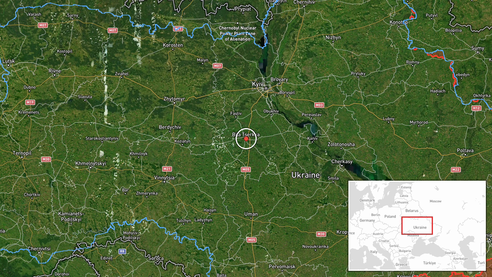
Russian Geran-3 drone transiting Bila Tserkva in central Ukraine
What happened
Ukrainian air monitoring detected one Russian jet-powered Shahed (Geran-3) drone moving in the direction of Bila Tserkva on October 15 at 17:01 UTC. The report was issued by the Kyiv-controlled public alert channel (@kpszsu), a primary source for Ukrainian air defense notifications. The drone was identified as a cruise-capable, reusable system rather than a one-way kamikaze variant, suggesting either a surveillance pass or transit toward a more distant target.
Context and assessment
Bila Tserkva, located approximately 80 kilometers south of Kyiv, has been a recurring waypoint for Russian drone operations throughout October 15. Multiple Geran-3 detections that morning moved through nearby settlements—Uzyn, Fastiv, and Vasylkiv—in what appears to be a coordinated drone operation spanning the Kyiv region. A related sighting at 14:10 UTC showed at least one Geran-3 transiting through Bila Tserkva itself en route to Vasylkiv, suggesting this corridor remains heavily trafficked. The afternoon and evening cluster of drone transits, including reports from Obukhiv and Kaharlyk, indicates sustained Russian aerial activity. Such patterns may reflect either multiple attack runs, reconnaissance missions, or attempts to overwhelm Ukrainian air defense coverage across central Ukraine.
Sources and confidence
Report sourced from Telegram channel @kpszsu (Kyiv public alert service), the primary official Ukrainian air monitoring feed. Single-source reporting limits independent cross-confirmation; confidence score of 8.0 reflects the channel's institutional credibility and consistent real-time publication record rather than multiple independent verification. Confidence would rise with corroboration from additional Ukrainian military channels or Western intelligence; it would lower if the drone was later confirmed as intercepted without secondary reporting.
Location
Bila Tserkva, a city of approximately 220,000 inhabitants in Kyiv Oblast, lies on the Ros River roughly 80 kilometers southwest of central Kyiv. The settlement sits on major transportation routes connecting the capital to southern Ukraine. Precision is settlement-level based on Ukrainian air monitoring designation rather than specific site coordinates.
Related events nearby
- Ukrainian air monitoring: 1 Russian jet-powered Shahed (Geran-3) drone heading toward Uzyn.2026-10-15 02:27 UTC · Drone Transit · Uzyn, Ukraine
- Ukrainian air monitoring: 1 Russian jet-powered Shahed (Geran-3) drone heading toward Fastiv.2026-10-15 02:32 UTC · Drone Transit · Fastiv, Ukraine
- Ukrainian air monitoring: 1 Russian jet-powered Shahed (Geran-3) drone heading toward Vasylkiv.2026-10-15 17:31 UTC · Drone Transit · Vasylkiv, Ukraine
- Ukrainian air monitoring: 1 Russian jet-powered Shahed (Geran-3) drone passing Bila Tserkva, heading toward Va2026-10-15 14:10 UTC · Drone Transit · Vasylkiv, Ukraine
- Ukrainian air monitoring: 1 Russian jet-powered Shahed (Geran-3) drone heading toward Obukhiv.2026-10-15 17:42 UTC · Drone Transit · Obukhiv, Ukraine
▶ View this event on the live map

Intel Mapper aggregates open-source reports from monitored Telegram and X channels, geolocates them, cross-checks duplicates across sources and assigns a confidence score. Entries are updated as new confirmations arrive. Read how we verify events.