Russian jet-powered Shahed drones transit northern Zhytomyr Oblast near Ovruch
What happened
Ukrainian air monitoring (KPSZSU) detected one or more Russian jet-powered Shahed drones, identified as Geran-3 models, transiting northern Zhytomyr Oblast in the direction of Ovruch on the evening of October 15. The detection was logged at 18:26 UTC. The report does not specify whether the drone(s) were intercepted, struck targets, or continued northward.
Context and assessment
Ovruch lies in northern Zhytomyr Oblast, a region through which Russian strike drones frequently transit en route to targets across central and northern Ukraine. The pattern of related events on October 15 shows sustained Russian drone activity in this corridor: multiple Shahed-3 detections moved through the area from early morning through evening, with sightings near Ovruch, Narodychi, and toward Rivne Oblast. Such transits typically indicate either direct strikes on regional infrastructure or passage toward more distant targets. The repeated use of jet-powered variants suggests Russian intent to penetrate air defenses more effectively than earlier-generation drones.
Sources and confidence
Single source: Telegram channel @kpszsu (Ukrainian air monitoring service). No cross-confirmation from other channels is noted. Confidence of 8.0 reflects direct Ukrainian military monitoring, though single-source detection cannot rule out measurement error or incomplete picture. Confirmation from air defense engagement reports or damage assessments would raise confidence; video or secondary witness accounts from the settlement would strengthen verification.
Location
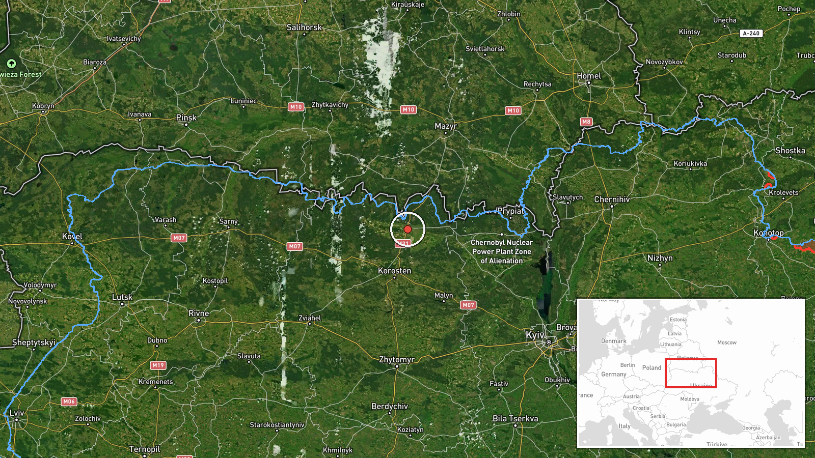
Ovruch, a settlement in northern Zhytomyr Oblast, located approximately 180 kilometers northwest of Kyiv. The settlement sits near the Belarus border in a sparsely populated agricultural region. Geographic precision is set to settlement level based on Ukrainian air monitoring coordinates (51.32°N, 28.80°E).
Related events nearby
- Ukrainian air monitoring: 2+ Russian jet-powered Shahed (Geran-3) drones over Ovruch.2026-10-15 07:38 UTC · Drone Transit · Ovruch, Ukraine
- Ukrainian air monitoring: 1 Russian jet-powered Shahed (Geran-3) drone transiting northern Zhytomyr Oblast hea2026-10-15 03:44 UTC · Drone Transit · Northern Zhytomyr Oblast, Ukraine
- Ukrainian air monitoring: 1 Russian jet-powered Shahed (Geran-3) drone transiting from northern Zhytomyr Oblas2026-10-15 01:57 UTC · Drone Transit · Northern Zhytomyr Oblast to Northern Rivne Oblast,
- Ukrainian air monitoring reports 1 Russian jet-powered Shahed (Geran-3) drone transiting northern Zhytomyr Obl2026-10-15 17:06 UTC · Drone Transit · Narodychi, Zhytomyr Oblast, Ukraine
- Ukrainian air monitoring: 1 Russian jet-powered Shahed (Geran-3) drone from Zhytomyr Oblast toward Chopovychi.2026-10-15 05:52 UTC · Drone Transit · Chopovychi, Ukraine
▶ View this event on the live map

Intel Mapper aggregates open-source reports from monitored Telegram and X channels, geolocates them, cross-checks duplicates across sources and assigns a confidence score. Entries are updated as new confirmations arrive. Read how we verify events.