Single jet-powered Geran-3 drone reported in transit toward Hostomel, Kyiv Oblast
What happened
Ukraine's air monitoring channel on Telegram, @kpszsu, reported at 02:43 UTC on 16 October 2026 that one jet-powered Shahed-type drone, identified in the post as a Geran-3, was heading toward Hostomel in Kyiv Oblast. The original Ukrainian wording, 'Реактивний БпЛА на Гостомель', translates roughly as 'jet-powered UAV toward Hostomel'. The report describes a drone in transit and does not mention impacts, damage, casualties, or interceptions. The attribution to Russia rests on the naming of the Geran family, which Ukrainian and Western officials have linked to Russian forces. The event is logged as a drone transit rather than a confirmed strike, and no independent confirmation of the track appeared in the dataset.
Context and assessment
Hostomel sits on the northwest approach to Kyiv, an area that has repeatedly featured in Russian long-range drone activity. The related reports from the previous day show a sustained sequence of single or small-group Geran-3 transits across the region. At 05:36 UTC on 15 October, two or more drones were reported heading toward Vyshhorod. Later that day, single drones were logged toward Vyshhorod at 16:54, Syrets at 17:53, and Sviatoshyn in Kyiv at 17:57, and an earlier report placed a drone transiting northern Kyiv Oblast toward Zhytomyr Oblast at 11:51. The track of these reports moves across several districts around the capital rather than concentrating on one target. Operationally, this pattern may indicate route testing, probing of air defense coverage and response times, or dispersed saturation of multiple approaches. Each report is a single movement update, so the sequence is best read as a pattern of activity rather than evidence of a coordinated campaign against Hostomel specifically.
Sources and confidence
The report rests on a single Telegram channel, @kpszsu, which is the official air monitoring account linked to Ukraine's armed forces. The channel is generally regarded as a timely early-warning source, which supports a relatively high confidence score of 8.0. However, the event has no second channel, wire service, or official statement confirming the track, and the post gives a direction of travel rather than an impact. Confidence would rise if other monitoring sources, regional military administrations, or later air force updates confirmed the drone's route or outcome. It would fall if the track were revised, retracted, or contradicted by local reporting.
Location
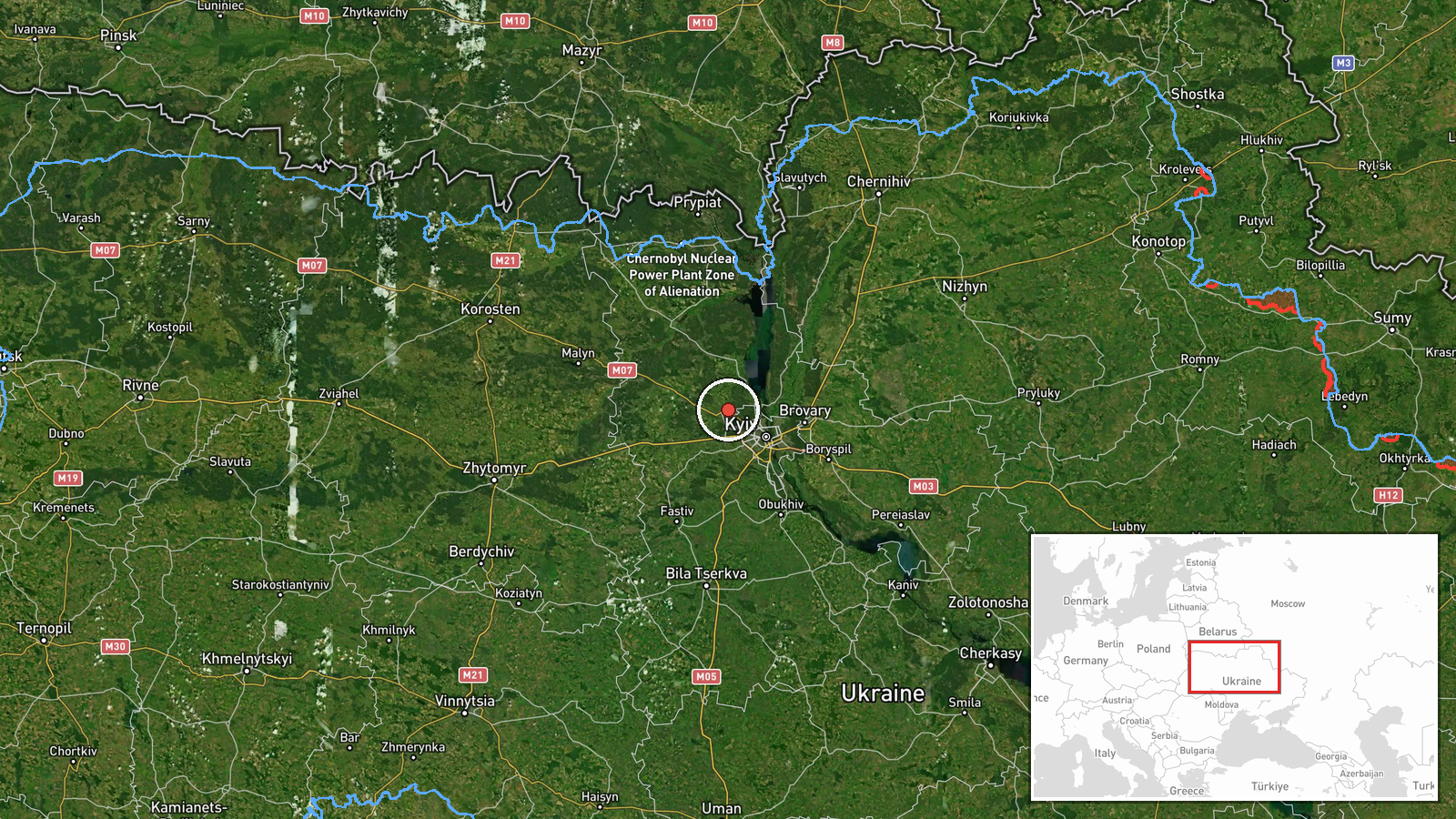
The coordinates correspond to the settlement of Hostomel, which the post names directly, so the location is classed as settlement-level with high confidence. Hostomel lies in Kyiv Oblast, just northwest of Kyiv city, in a generally flat landscape of fields, forests, and river floodplains. The area includes the Antonov airfield, which was a notable military and logistics focal point in early 2022. The Irpin River system runs through the wider district. Because the report refers to a drone heading toward the settlement rather than a fixed point, the pin should be read as the general target area, not a precise impact site.
Related events nearby
- Ukrainian air monitoring reports 1+ Russian jet-powered Shahed (Geran-3) drone(s) transiting northern Kyiv Obl2026-10-15 11:51 UTC · Drone Transit · Northern Kyiv Oblast, Ukraine
- Ukrainian air monitoring: 1 Russian jet-powered Shahed (Geran-3) drone heading toward Sviatoshyn, Kyiv.2026-10-15 17:57 UTC · Drone Transit · Sviatoshyn, Kyiv, Ukraine
- Ukrainian air monitoring: 1 Russian jet-powered Shahed (Geran-3) drone heading toward Syrets, Kyiv.2026-10-15 17:53 UTC · Drone Transit · Syrets, Kyiv, Ukraine
- Ukrainian air monitoring: 1 Russian jet-powered Shahed (Geran-3) drone heading toward Vyshhorod.2026-10-15 16:54 UTC · Drone Transit · Vyshhorod, Ukraine
- Ukrainian air monitoring: 2+ Russian jet-powered Shahed (Geran-3) drones heading toward Vyshhorod.2026-10-15 05:36 UTC · Drone Transit · Vyshhorod, Ukraine
▶ View this event on the live map

Intel Mapper aggregates open-source reports from monitored Telegram and X channels, geolocates them, cross-checks duplicates across sources and assigns a confidence score. Entries are updated as new confirmations arrive. Read how we verify events.