Jet-powered Shahed drones reportedly tracked toward Poltava Oblast from Sumy and Kharkiv
What happened
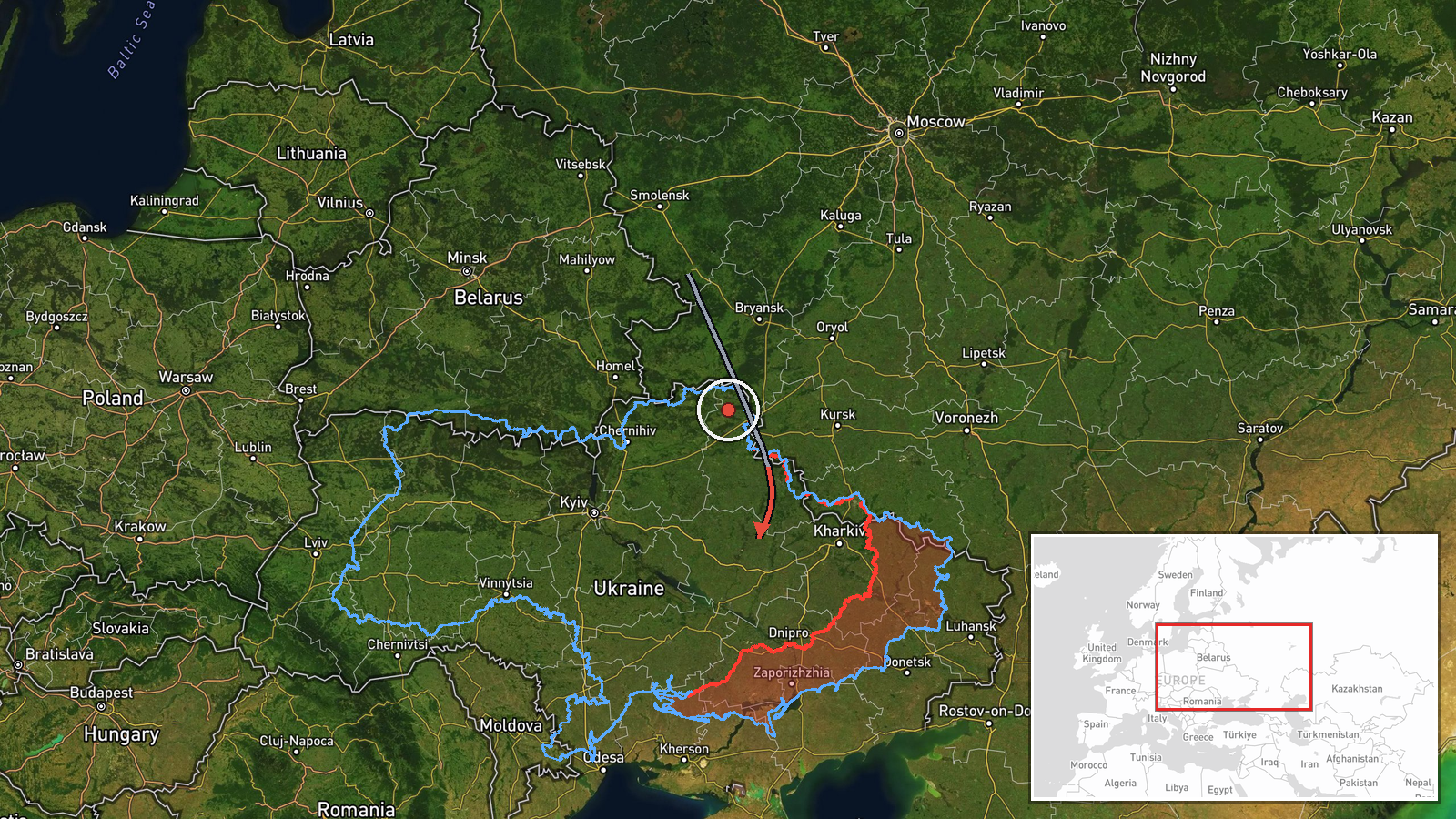
Ukrainian air monitoring reported on 16 October 2026 at 04:55 UTC that jet-powered Shahed (Geran-3) drones were tracked over eastern Kharkiv Oblast on a westward course, and a separate drone over southern Sumy Oblast heading toward Poltava Oblast. The event is logged with Poltava Oblast as its location and southern Sumy Oblast as its origin. The only cited source is a Telegram channel, @kpszsu. Its original wording describes the Kharkiv objects as 'реактивні БпЛА' (jet UAVs) heading west, but describes the Sumy object only as a 'БпЛА' (UAV), with no jet designation. The summary's classification of both as Geran-3 therefore goes beyond the post's own wording. The report describes no impact, damage, or casualties.
Context and assessment
Poltava Oblast has appeared repeatedly in recent reporting. On 15 October, a Banderol mini cruise missile was reported heading toward and then over the oblast, and two jet-powered Shahed transits were logged that day passing Pivnichnyi and Shyshaky on approach to Poltava city. Early on 16 October, further jet-powered drones were tracked over western and northern parts of the oblast heading west, with another reported over northern Vinnytsia Oblast. Taken together, the sequence suggests a sustained pattern of drones and missiles crossing central-eastern Ukraine within a short window rather than an isolated flight. Poltava Oblast contains industrial and energy assets, and the nearby Kremenchuk area is widely known for its refining and manufacturing sites, but the data does not identify any intended target. Transit reports of this kind may reflect attack routing, decoy activity, or reconnaissance, and the available information cannot distinguish between them. Continued reports naming the same corridor would strengthen the view that the routing is deliberate.
Sources and confidence
The event rests on a single Telegram channel, @kpszsu, which is widely followed for Ukrainian air-monitoring posts. No second channel or independent outlet in the data confirms the sighting. The assigned confidence score of 8.0 is high, reflecting a clear, time-stamped post with consistent directional wording, but it is tempered by the single-source basis and by the summary's jet-powered classification of the Sumy object, which the original post does not state. Confidence would rise with corroboration from another monitoring channel or from official Ukrainian air-force statements, and with later reports of impacts consistent with the track. It would fall if follow-up posts revised the drone types or directions, or if the track could not be matched to the related sightings.
Location
The coordinates (49.589742, 34.550795) are at region precision, so the pin marks an approximate point within Poltava Oblast rather than a specific settlement or facility. The oblast lies in central-eastern Ukraine, with flat to gently rolling terrain drained by rivers including the Vorskla and Psel, and the Dnipro reservoir forms part of its western boundary. The origin, southern Sumy Oblast, lies to the north, and the Kharkiv sightings lie to the northeast.
Related events nearby
- Ukrainian air monitoring: 1 Russian Banderol mini cruise missile over Poltava Oblast.2026-10-15 12:08 UTC · Cruise Missile · Poltava Oblast, Ukraine
- Ukrainian air monitoring: 1 Russian Banderol mini cruise missile heading toward Poltava Oblast.2026-10-15 12:05 UTC · Cruise Missile · Poltava Oblast, Ukraine
- Ukrainian air monitoring: 1 Russian jet-powered Shahed (Geran-3) drone passing Shyshaky, heading toward Poltav2026-10-15 07:25 UTC · Drone Transit · Poltava, Ukraine
- Ukrainian air monitoring: 1 Russian jet-powered Shahed (Geran-3) drone passing Pivnichnyi, heading toward Polt2026-10-15 06:13 UTC · Drone Transit · Poltava, Ukraine
- Ukrainian air monitoring tracks jet-powered Shahed (Geran-3) drones over western and northern Poltava Oblast, 2026-10-16 01:34 UTC · Drone Transit · Western Poltava Oblast, Ukraine
▶ View this event on the live map

Intel Mapper aggregates open-source reports from monitored Telegram and X channels, geolocates them, cross-checks duplicates across sources and assigns a confidence score. Entries are updated as new confirmations arrive. Read how we verify events.