Ukrainian air monitoring reports one jet-powered Shahed drone heading toward Bila Tserkva
What happened
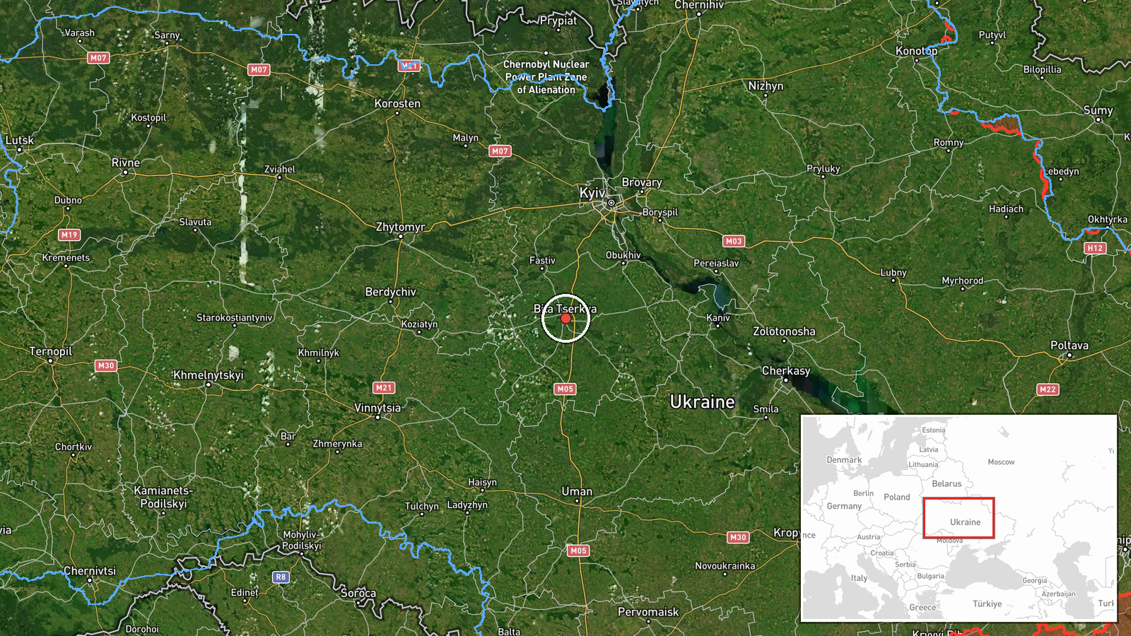
Ukrainian air monitoring, relayed through the Telegram channel @kpszsu, reported one Russian jet-powered Shahed-type drone, identified in the post as a Geran-3, heading toward Bila Tserkva. The original Ukrainian-language post, which reads roughly as 'jet-powered UAV toward Bila Tserkva from the south,' gives a direction of approach but no time of impact, damage, or interception. The report is timestamped 16 October 2026 at 06:44 UTC and is classified as a drone transit, meaning it tracks an object in flight rather than a confirmed strike. The event is placed at Bila Tserkva in Kyiv Oblast, and the coordinates correspond to the settlement. The post does not state whether the drone was later intercepted, changed course, or reached the city. Attribution to Russia rests on the Geran-3 designation and on the wider pattern of Shahed-type launches in the region.
Context and assessment
Bila Tserkva sits on the Ros River roughly 80 kilometres south-southwest of Kyiv, on the approach routes that Shahed-type drones have used to move through Kyiv Oblast toward the capital and nearby districts. Related entries on Intel Mapper show that the city was a repeated reference point over the previous day. At 14:01 UTC on 15 October, a single Geran-3 was reported moving from Cherkasy Oblast toward Bila Tserkva, and at 14:10 another was reported passing the city toward Vasylkiv. At 17:01 a drone was logged directly over Bila Tserkva, and at 17:31 a further drone was reported moving from northern Kyiv Oblast toward Vasylkiv. Early on 16 October, at 03:41, two or more drones were reported passing southern Kyiv Oblast heading west. Taken together, these reports suggest a sustained flow of drones crossing the area on several headings rather than a single isolated track. Operationally, repeated transits near a mid-sized city may indicate route probing, surveillance of air defence coverage, or an attempt to draw interceptors, though the entries alone cannot establish intent.
Sources and confidence
The event rests on a single Telegram channel, @kpszsu, and no independent outlet or official statement in the data corroborates it. The confidence score of 8.0 is high because the channel is an established Ukrainian air monitoring source, the event type is routine for this area, and the related entries from the preceding day share the same format and source. It is not higher because the report is unconfirmed by a second channel and contains no outcome. Confidence would rise with corroboration from another monitoring channel, an Air Force statement, or local reports of sirens, interception, or impact. It would fall if the channel later corrected or retracted the post, or if other sources reported a different target or trajectory.
Location
The location is assigned at settlement precision, and the post names Bila Tserkva directly, so the confidence in the placement is high. The coordinates of 49.8 north and 30.12 east mark the city rather than a specific facility, as no facility is named. Bila Tserkva lies in Kyiv Oblast on the Ros River, with a built-up urban core, surrounding farmland, and wooded areas to its edges. The river valley and the city's position on the main roads southwest of the capital make it a recognisable waypoint for drones moving through the region.
Related events nearby
- Ukrainian air monitoring: 1 Russian jet-powered Shahed (Geran-3) drone over Bila Tserkva.2026-10-15 17:01 UTC · Drone Transit · Bila Tserkva, Ukraine
- Ukrainian air monitoring: 1 Russian jet-powered Shahed (Geran-3) drone from Cherkasy Oblast toward Bila Tserkv2026-10-15 14:01 UTC · Drone Transit · Bila Tserkva, Ukraine
- Ukrainian air monitoring: 2+ Russian jet-powered Shahed (Geran-3) drones passing southern Kyiv Oblast, heading2026-10-16 03:41 UTC · Drone Transit · southern Kyiv Oblast, Ukraine
- Ukrainian air monitoring: 1 Russian jet-powered Shahed (Geran-3) drone from northern Kyiv Oblast toward Vasylk2026-10-15 17:31 UTC · Drone Transit · Vasylkiv, Ukraine
- Ukrainian air monitoring: 1 Russian jet-powered Shahed (Geran-3) drone passing Bila Tserkva, heading toward Va2026-10-15 14:10 UTC · Drone Transit · Vasylkiv, Ukraine
▶ View this event on the live map

Intel Mapper aggregates open-source reports from monitored Telegram and X channels, geolocates them, cross-checks duplicates across sources and assigns a confidence score. Entries are updated as new confirmations arrive. Read how we verify events.