Ukrainian air monitoring reports three Shahed-type drones moving west across three oblasts
What happened
Ukrainian air monitoring reported on 16 October 2026 at 15:34 UTC that one Russian Shahed-type drone was passing over the southern part of Kharkiv Oblast, heading west. The same post listed two further single drones, one over northern Dnipropetrovsk Oblast and one over southern Poltava Oblast, also on a westward course. The original Ukrainian-language wording describes them as strike UAVs (ударні БпЛА) on a western heading. The report gives no impact points, casualties, or damage, and it does not say whether any drone was shot down. The information comes from a single Telegram channel, @kpszsu, and is framed as air monitoring rather than an on-scene observation.
Context and assessment
Southern Kharkiv Oblast appears repeatedly in the same day's feed. Earlier reports describe drones heading toward Kharkiv city at 06:24 and 08:50 UTC, with the 08:50 entry identifying a jet-powered Shahed variant (described as Geran-3). A single drone was reported toward Lozova at 08:55, a group of three or more toward Zlatopil at 10:15, and at 14:33 three or more were reported passing southern Kharkiv Oblast heading west. The 15:34 entry therefore continues a sequence rather than standing alone. The notable feature is the westward heading across three oblasts. Drones described as passing through an area, rather than heading toward a named city, often indicate transit along a flight corridor toward targets farther west, although the data does not identify those targets. Repeated single-drone entries may also reflect individual tracks being updated as aircraft move, so the number of separate drones is uncertain. Without confirmed impacts, the most defensible reading is that this is part of a continuing air campaign with drones moving through the region, not a confirmed strike on the places named.
Sources and confidence
The report rests on one channel, Telegram @kpszsu, which is attributed to Ukrainian military air monitoring. No independent outlet in the data cross-confirms it, and the related entries come from the same type of source. The score of 8.0 reflects an official-style attribution, a precise time stamp, and a report consistent with other entries in the sequence, but it stays below the top range because the feed is single-sourced and drone positions are approximate. Confidence would rise with independent tracking data or a second monitoring source, and would fall if the channel corrected or withdrew the entry.
Location
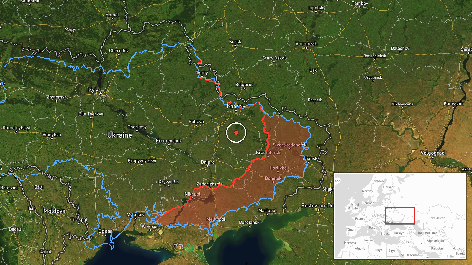
The coordinates are a regional point rather than a settlement or facility, and location confidence is recorded as low. The marker sits in the southern part of Kharkiv Oblast in northeastern Ukraine, an area of open agricultural land and river valleys near the borders with neighboring oblasts. No named landmark is attached, so the marker should be read as approximate.
Related events nearby
- Ukrainian air monitoring: 3+ Russian Shahed-type drones passing southern Kharkiv Oblast, heading west.2026-10-16 14:33 UTC · Drone Transit · southern Kharkiv Oblast, Ukraine
- Ukrainian air monitoring: 3+ Russian Shahed-type drones heading toward Zlatopil.2026-10-16 10:15 UTC · Drone Transit · Zlatopil, Ukraine
- Ukrainian air monitoring: 1 Russian Shahed-type drone heading toward Lozova.2026-10-16 08:55 UTC · Drone Transit · Lozova, Ukraine
- Ukrainian air monitoring: 1 Russian jet-powered Shahed (Geran-3) drone heading toward Kharkiv.2026-10-16 08:50 UTC · Drone Transit · Kharkiv, Ukraine
- Ukrainian air monitoring: 1 Russian Shahed-type drone heading toward Kharkiv.2026-10-16 06:24 UTC · Drone Transit · Kharkiv, Ukraine
▶ View this event on the live map

Intel Mapper aggregates open-source reports from monitored Telegram and X channels, geolocates them, cross-checks duplicates across sources and assigns a confidence score. Entries are updated as new confirmations arrive. Read how we verify events.