Ukrainian Air Force reports one Shahed-type drone over Moshchun, Kyiv Oblast
What happened
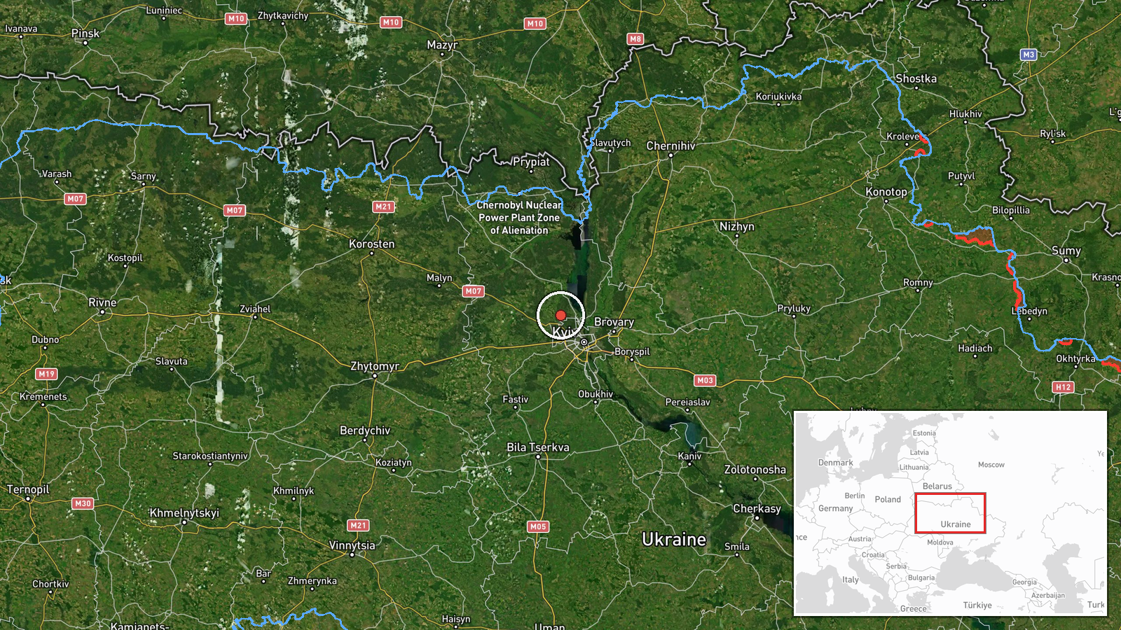
A Ukrainian air monitoring report posted on the Telegram channel @kpszsu at 04:25 UTC on 17 October 2026 described one Russian Shahed-type drone over Moshchun, a settlement in Kyiv Oblast. The original Ukrainian wording, 'БпЛА на Київщині, в районі Мощуна' (roughly, 'UAV in the Kyiv region, in the Moshchun area'), refers only to an unmanned aerial vehicle, and the Shahed identification appears in the English summary rather than the original post. The report describes a drone transit rather than a strike. No impact, damage, or casualties are mentioned in the source. Because the post is the only sourced item, the account rests on a single official-channel observation made during an ongoing overnight movement of drones toward the Kyiv area.
Context and assessment
This event sits inside a sustained overnight sequence. Earlier reports on 16 and 17 October describe drones passing Drabiv toward Kyiv Oblast, a jet-powered Geran-3 variant moving through the Vyshhorod district from Chernihiv Oblast, several drones from western Chernihiv Oblast converging on Kyiv Oblast, and additional tracks toward Kyiv city and Hlevakha, one heading west. Moshchun lies on the northwestern approaches to the capital, so a report there fits a pattern of drones entering from the north and northwest and fanning out around Kyiv. Operationally, repeated transit reports of this kind may indicate attempts to saturate radar coverage, probe air defense positions, or reach distant targets along multiple corridors. Transit reports alone do not establish what, if anything, the drones were aimed at, and the Hlevakha track heading west suggests that not every track was moving on the same path toward the city. The sequence is best read as a sign of persistent aerial pressure on the Kyiv region rather than evidence of a specific target at Moshchun.
Sources and confidence
The event is sourced to one Telegram channel, @kpszsu, which is the official channel of the Ukrainian Air Force and is generally treated as a reliable source for airspace warnings. No other channel in the dataset independently reports the Moshchun sighting, so cross-confirmation is absent. The confidence score of 8.0 reflects the official origin, the specific location, and the consistency with surrounding reports, but it is held below the top range because the post is a single terse observation without track details or timing beyond the post itself. Confidence would rise with corroboration from other Ukrainian official channels, regional military administration statements, or later Air Force updates that confirm the track. It would fall if the Air Force corrected the location or type, or if later reporting indicated the drone was elsewhere.
Location
The location was geocoded to the settlement of Moshchun, with precision recorded as settlement level and location confidence rated high. The coordinates point to the village rather than to a facility or road, which suits a general air warning naming a community. Moshchun is a rural settlement in Kyiv Oblast northwest of the capital, in an area of low, relatively flat terrain with agricultural land, wooded patches, and river systems typical of the Dnipro basin. The surrounding countryside gives the drone a corridor that is largely open, so the settlement name in the report mainly marks the drone's position rather than a built-up target.
Related events nearby
- Ukrainian air monitoring: 1 Russian jet-powered Shahed (Geran-3) drone from Chernihiv Oblast toward Vyshhorod 2026-10-17 00:28 UTC · Drone Transit · Vyshhorod district, Ukraine
- Ukrainian air monitoring: 1 Russian Shahed-type drone heading toward Kyiv; 1 Russian jet-powered Shahed (Geran2026-10-17 04:07 UTC · Drone Transit · Kyiv, Ukraine
- Ukrainian air monitoring: 3+ Russian Shahed-type drones from western Chernihiv Oblast toward Kyiv Oblast; 1 Ru2026-10-17 03:59 UTC · Drone Transit · Kyiv Oblast, Ukraine
- Ukrainian air monitoring: 1 Russian Shahed-type drone heading toward Kyiv.2026-10-17 01:36 UTC · Drone Transit · Kyiv, Ukraine
- Ukrainian air monitoring: 1 Russian jet-powered Shahed (Geran-3) drone passing Drabiv, heading toward Kyiv Obl2026-10-16 20:18 UTC · Drone Transit · Kyiv Oblast, Ukraine
▶ View this event on the live map

Intel Mapper aggregates open-source reports from monitored Telegram and X channels, geolocates them, cross-checks duplicates across sources and assigns a confidence score. Entries are updated as new confirmations arrive. Read how we verify events.