Single Ukrainian alert reports Shahed-type drone heading west across northern Kyiv Oblast
What happened
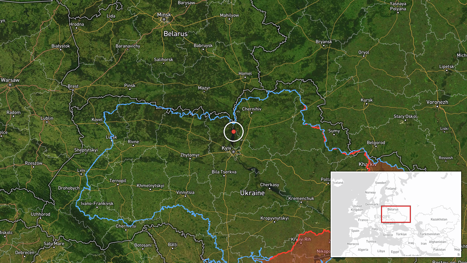
Ukrainian air monitoring reported through the Telegram channel @kpszsu that one Russian Shahed-type drone was passing through northern Kyiv Oblast at about 04:26 UTC on 17 October 2026, on a western heading. The original post is a brief Ukrainian-language alert, reading roughly as 'UAV in northern Kyiv region, western course,' and it carries a scooter emoji rather than further detail. It gives no precise position, altitude, speed, or specific settlement. The event is classified as a drone transit rather than a strike, and the source reports no impact, casualties, or damage. Attribution to Russia rests on the drone type, which matches Russian Shahed-family systems, rather than on any independent confirmation.
Context and assessment
The location matters mainly because northern Kyiv Oblast sits on the approach routes to the capital, so drones crossing it are closely tracked even when they do not strike. The related events suggest a sustained pattern rather than an isolated track. Earlier on 16 October, a Banderol mini cruise missile was reported moving from southern Chernihiv Oblast toward Kozelets. On 17 October, a sequence of Shahed-type and jet-powered Geran-3 drones was logged between 00:28 and 04:25 UTC, starting from Chernihiv Oblast toward the Vyshhorod district, then Oster, Honcharivske, and Moshchun. The northward-to-southward spread across these points suggests multiple drones entering from the north-east and moving through the same corridor over several hours. Operationally, this could indicate routing that keeps drones away from heavier air defence concentrations, or drones being redirected as targets shift. The western heading in this report may reflect a turn or an exit from the corridor, but the single alert cannot establish intent or destination.
Sources and confidence
Only one channel, Telegram @kpszsu, carries this report, so it has not been cross-confirmed by a second independent source. The confidence score of 8.0 reflects a credible official-style monitoring feed with a consistent pattern across related events, but it is held below the top range because the post is terse and unverified against separate observation. Confidence would rise if the track were corroborated by another Ukrainian air command post, regional authority, or independent tracking data showing a matching flight path. It would fall if subsequent reports contradicted the heading or if no further drone activity appeared in the same corridor.
Location
The location is recorded at region level, so the coordinates are an approximate centre point for northern Kyiv Oblast rather than a settlement or facility. Confidence in the location is low for that reason. The area is largely rural and agricultural, with the Dnipro and its floodplain lying to the east and the Kyiv metropolitan fringe to the south. Several related monitoring points, including Moshchun and the Vyshhorod district, lie within or near the same general zone.
Related events nearby
- Ukrainian air monitoring: 1 Russian jet-powered Shahed (Geran-3) drone from western Chernihiv Oblast toward Os2026-10-17 01:23 UTC · Drone Transit · Oster, Ukraine
- Ukrainian air monitoring: 1 Russian Banderol mini cruise missile from southern Chernihiv Oblast toward Kozelet2026-10-16 05:53 UTC · Cruise Missile · Kozelets, Ukraine
- Ukrainian air monitoring: 1 Russian jet-powered Shahed (Geran-3) drone heading toward Honcharivske.2026-10-17 03:36 UTC · Drone Transit · Honcharivske, Ukraine
- Ukrainian air monitoring: 1 Russian Shahed-type drone over Moshchun.2026-10-17 04:25 UTC · Drone Transit · Moshchun, Ukraine
- Ukrainian air monitoring: 1 Russian jet-powered Shahed (Geran-3) drone from Chernihiv Oblast toward Vyshhorod 2026-10-17 00:28 UTC · Drone Transit · Vyshhorod district, Ukraine
▶ View this event on the live map

Intel Mapper aggregates open-source reports from monitored Telegram and X channels, geolocates them, cross-checks duplicates across sources and assigns a confidence score. Entries are updated as new confirmations arrive. Read how we verify events.