Ukrainian air monitoring reports five Shahed-type drones moving across northern and central Ukraine
What happened
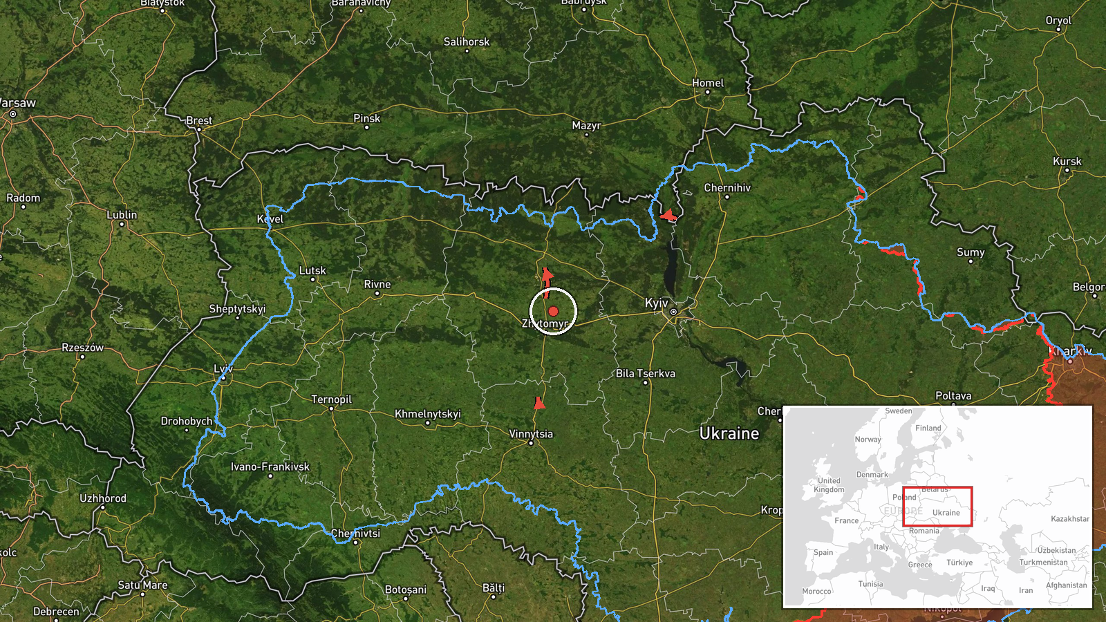
Ukrainian air monitoring channel @kpszsu reported on Telegram at 05:53 UTC on 17 October 2026 that five Russian Shahed-type drones were in transit across several regions. The posts described one drone heading toward Dubrovytsya in Rivne Oblast, one from Zhytomyr Oblast toward Korosten, one from Vinnytsia Oblast toward Kalynivka, one passing over the Chornobyl Exclusion Zone on a western course, and one from Chernihiv Oblast toward Slavutych. The original Ukrainian wording uses the term БпЛА, meaning unmanned aerial vehicle, and does not specify warheads, impacts or damage. The report is a movement notice, not a record of a strike. It has not been confirmed by a second independent channel at the time of writing.
Context and assessment
Dubrovytsya lies in northwestern Rivne Oblast, close to the Polissia belt of forests and wetlands that has repeatedly served as a corridor for drones approaching Ukraine's west and north. The related events from the preceding day show a sustained pattern of similar transit notices over the same region. Earlier reports named Sarny, Kostopil and Rivne, and at least one was described as a jet-powered Geran-3 variant. Several reports traced drones from Zhytomyr and Khmelnytskyi oblasts toward Rivne, suggesting they were moving along a westward route rather than being aimed at a single point. The spread of the current notices across five oblasts, including the Chornobyl zone and Chernihiv region, suggests a broad, multi-axis flight pattern. Operationally, such a spread may indicate routing toward several potential targets, decoy movement, or an attempt to stretch air defense coverage. These readings remain tentative, since transit notices do not show intended targets.
Sources and confidence
The report comes from a single Telegram channel, @kpszsu, which is the official channel of the Ukrainian Air Force and is widely used for real-time air alerts. Because it is one source, the event carries a confidence score of 8.0 out of 10 and the cross-confirmation status is single-source. The score is relatively high because the channel is an official military source with a consistent record of such alerts. It is held below the top range because the post reports only movement, not outcomes, and no independent confirmation exists. Confidence would rise with corroboration from regional military administrations, Ukrainian or independent radar-based tracking, or reports of impacts. It would fall if later updates revised headings or withdrew the alerts.
Location
The location is recorded as Dubrovytsya at settlement precision with high location confidence, since the alert names the settlement directly. Coordinates place it in northwestern Ukraine in Rivne Oblast, roughly 60 kilometers from the Belarusian border. The area is low-lying, with forests, marshland and rivers including the Horyn basin nearby. The town sits within the broader Polissia region, where open terrain and dense woodland shape low-altitude drone routes. The Chornobyl Exclusion Zone lies to the northeast, and Sarny and Kostopil to the west.
Related events nearby
- Ukrainian air monitoring: 1 Russian jet-powered Shahed (Geran-3) drone heading toward Sarny.2026-10-16 17:26 UTC · Drone Transit · Sarny, Ukraine
- Ukrainian air monitoring: 1 Russian Shahed-type drone heading toward Kostopil.2026-10-16 21:31 UTC · Drone Transit · Kostopil, Ukraine
- Ukrainian air monitoring: 1 Russian Shahed-type drone passing Rivne Oblast, heading west.2026-10-17 06:29 UTC · Drone Transit · Rivne Oblast, Ukraine
- Ukrainian air monitoring: 1 Russian jet-powered Shahed (Geran-3) drone from Zhytomyr Oblast toward Rivne.2026-10-16 16:17 UTC · Drone Transit · Rivne, Ukraine
- Ukrainian air monitoring: 1 Russian Shahed-type drone heading toward Rivne Oblast.2026-10-16 15:05 UTC · Drone Transit · Rivne Oblast, Ukraine
▶ View this event on the live map

Intel Mapper aggregates open-source reports from monitored Telegram and X channels, geolocates them, cross-checks duplicates across sources and assigns a confidence score. Entries are updated as new confirmations arrive. Read how we verify events.