Ukrainian air monitoring reports one Shahed-type drone heading toward Rivne Oblast
What happened
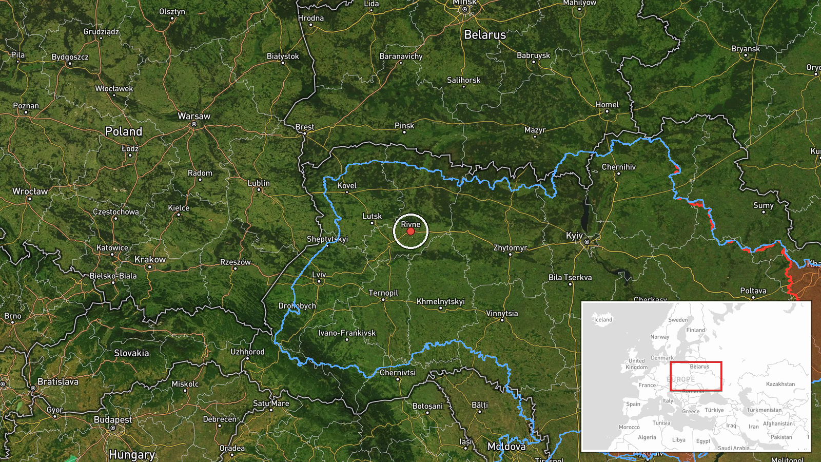
Ukraine's air monitoring channel on Telegram, @kpszsu, reported on 16 October 2026 at 15:05 UTC that one Russian Shahed-type drone was heading toward Rivne Oblast in northwestern Ukraine. The original Ukrainian wording refers to strike UAVs (ударні БпЛА) west of Zhytomyr on a course toward Rivne region. The English summary condenses this to a single drone. The report does not describe any impact, casualties, or damage, and it gives no precise position beyond the west-of-Zhytomyr reference. It is one entry in a sequence of similar transit alerts issued through the same day, which the channel continued to post as drones moved across central and western Ukraine.
Context and assessment
Rivne Oblast sits in northwestern Ukraine, bordering Belarus, and contains significant energy infrastructure, including the Rivne nuclear power plant. This report names no specific target, so any link to particular facilities would be speculative. The earlier related events logged that day, between 08:25 and 14:40 UTC, all describe single drones heading toward Rivne or Rivne Oblast. Several originated in Zhytomyr or Khmelnytskyi Oblasts, and one was identified as a jet-powered Geran-3. Taken together, the pattern suggests repeated drone traffic moving along a corridor from central and south-central oblasts toward the northwest, with Rivne as the recurring destination named in the reports. Operationally, transit alerts like these typically reflect drones tracked in flight, with the destination representing the last reported heading rather than a confirmed target. A succession of individual drones within a few hours could reflect a sustained raid, reconnaissance, or decoy activity, but the available data cannot distinguish between these possibilities. None of the entries records an impact, interception, or damage, so the significance of the sequence remains uncertain.
Sources and confidence
The report appears on a single channel, Telegram @kpszsu, which is the only listed source. No cross-confirmation from other outlets, official statements, or independent monitoring is present in the data. The confidence score of 8.0 reflects a clearly attributed monitoring channel, a precise timestamp, and a pattern of consistent related entries, but it rests on one source without independent verification. Confidence would rise with corroboration from a second monitoring channel or an official air force statement, or with reports of interception or impact. It would fall if the channel corrected or retracted the entry, or if later reporting contradicted the stated heading.
Location
Coordinates are approximate. The point (50.62, 26.25) is a regional centroid used because the report names only Rivne Oblast, so geographic precision is recorded as region and location confidence as low. Rivne Oblast lies in northwestern Ukraine and is largely flat and forested, with Polissia lowlands, marshland, and rivers such as the Horyn and Styr. The drone's actual position is not given beyond a reference point west of Zhytomyr.
Related events nearby
- Ukrainian air monitoring: 1 Russian jet-powered Shahed (Geran-3) drone from Zhytomyr Oblast toward Rivne.2026-10-16 16:17 UTC · Drone Transit · Rivne, Ukraine
- Ukrainian air monitoring: 1 Russian jet-powered Shahed (Geran-3) drone from Khmelnytskyi Oblast toward Rivne O2026-10-16 14:40 UTC · Drone Transit · Rivne Oblast, Ukraine
- Ukrainian air monitoring: 1 Russian Shahed-type drone heading toward Rivne.2026-10-16 14:33 UTC · Drone Transit · Rivne, Ukraine
- Ukrainian air monitoring: 1 Russian Shahed-type drone from Zhytomyr Oblast toward Rivne Oblast.2026-10-16 11:52 UTC · Drone Transit · Rivne Oblast, Ukraine
- Ukrainian air monitoring: 1 Russian jet-powered Shahed (Geran-3) drone heading toward Rivne.2026-10-16 11:45 UTC · Drone Transit · Rivne, Ukraine
▶ View this event on the live map

Intel Mapper aggregates open-source reports from monitored Telegram and X channels, geolocates them, cross-checks duplicates across sources and assigns a confidence score. Entries are updated as new confirmations arrive. Read how we verify events.