Ukrainian air monitoring reports one Shahed-type drone heading toward Rivne, 16 October 2026
What happened
On 16 October 2026 at 14:33 UTC, a Telegram post from the channel @kpszsu reported one Russian Shahed-type drone heading toward Rivne. The original Ukrainian wording describes a strike UAV approaching Rivne from the northeast, a phrasing that indicates bearing and direction rather than confirmed impact. The event is categorized as a drone transit, meaning it records an aircraft in flight rather than a detonation or damage assessment. The location is given at settlement level as Rivne city. The post names no casualties, targets, or outcomes. The same channel issued several related alerts earlier that day for drones moving toward Rivne and Rivne Oblast, so this entry should be read as one point in a sequence of airborne tracks rather than a standalone incident.
Context and assessment
Rivne lies in northwestern Ukraine, far from the active front lines in the east and south, so its appearance in air alerts suggests that long-range drone routes cross the country's west and north rather than ending near the line of contact. Oblast-level reports in the event set show drones tracked toward the area from Zhytomyr and Khmelnytskyi oblasts, which points to a corridor running through central and western Ukraine. The related events list five entries between 05:37 and 14:40 UTC, all typed as drone transits and describing jet-powered Geran-3 or Shahed-type airframes, with most repeating Rivne as the stated heading. Repeated reports over a single day are consistent with a sustained wave of launches or with staggered tracking of drones already airborne, and the data alone cannot distinguish between these. Operationally, the pattern may indicate that drones are being routed to pass over or near the Rivne area on the way to other targets further west or north, or that the area is being tracked as a possible target. Such readings remain tentative, because transit reports do not identify final destinations, and the record does not show whether any aircraft were shot down or reached their goals. Nothing in the source names a specific facility, so this entry should not be read as confirming an attack on any particular site.
Sources and confidence
The entry rests on a single Telegram channel, @kpszsu, which is the only source listed and has no independent cross-confirmation within this record. The confidence score of 8.0 reflects a clear, time-stamped alert from an account associated with Ukrainian air monitoring and a high-confidence location, offset by the absence of a second source and the lack of outcome reporting. Confidence would rise if independent monitors, regional military administrations, or wire services echoed the alert, or if later reports described an interception or impact. It would fall if the track were later identified as a misclassified object, or if the channel corrected or retracted the post.
Location
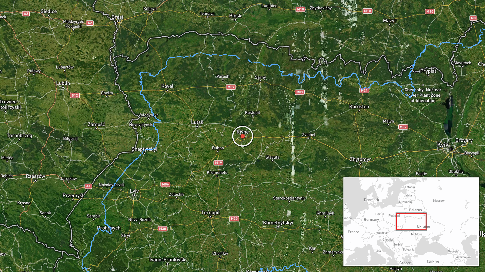
The location is recorded at settlement precision as Rivne, with coordinates near 50.62 north and 26.25 east, and the confidence flag is high because the report names the city directly. Rivne is the administrative centre of Rivne Oblast in northwestern Ukraine, set in the Polissia lowlands, a region of forest, wetland, and flat terrain near the Belarusian border. The pin marks the urban area as a whole rather than any specific facility.
Related events nearby
- Ukrainian air monitoring: 1 Russian jet-powered Shahed (Geran-3) drone from Zhytomyr Oblast toward Rivne.2026-10-16 16:17 UTC · Drone Transit · Rivne, Ukraine
- Ukrainian air monitoring: 1 Russian Shahed-type drone heading toward Rivne Oblast.2026-10-16 15:05 UTC · Drone Transit · Rivne Oblast, Ukraine
- Ukrainian air monitoring: 1 Russian jet-powered Shahed (Geran-3) drone from Khmelnytskyi Oblast toward Rivne O2026-10-16 14:40 UTC · Drone Transit · Rivne Oblast, Ukraine
- Ukrainian air monitoring: 1 Russian Shahed-type drone from Zhytomyr Oblast toward Rivne Oblast.2026-10-16 11:52 UTC · Drone Transit · Rivne Oblast, Ukraine
- Ukrainian air monitoring: 1 Russian jet-powered Shahed (Geran-3) drone heading toward Rivne.2026-10-16 11:45 UTC · Drone Transit · Rivne, Ukraine
▶ View this event on the live map

Intel Mapper aggregates open-source reports from monitored Telegram and X channels, geolocates them, cross-checks duplicates across sources and assigns a confidence score. Entries are updated as new confirmations arrive. Read how we verify events.