Single Russian Shahed-type drone reported passing Sharhorod, Ukraine, heading west
What happened
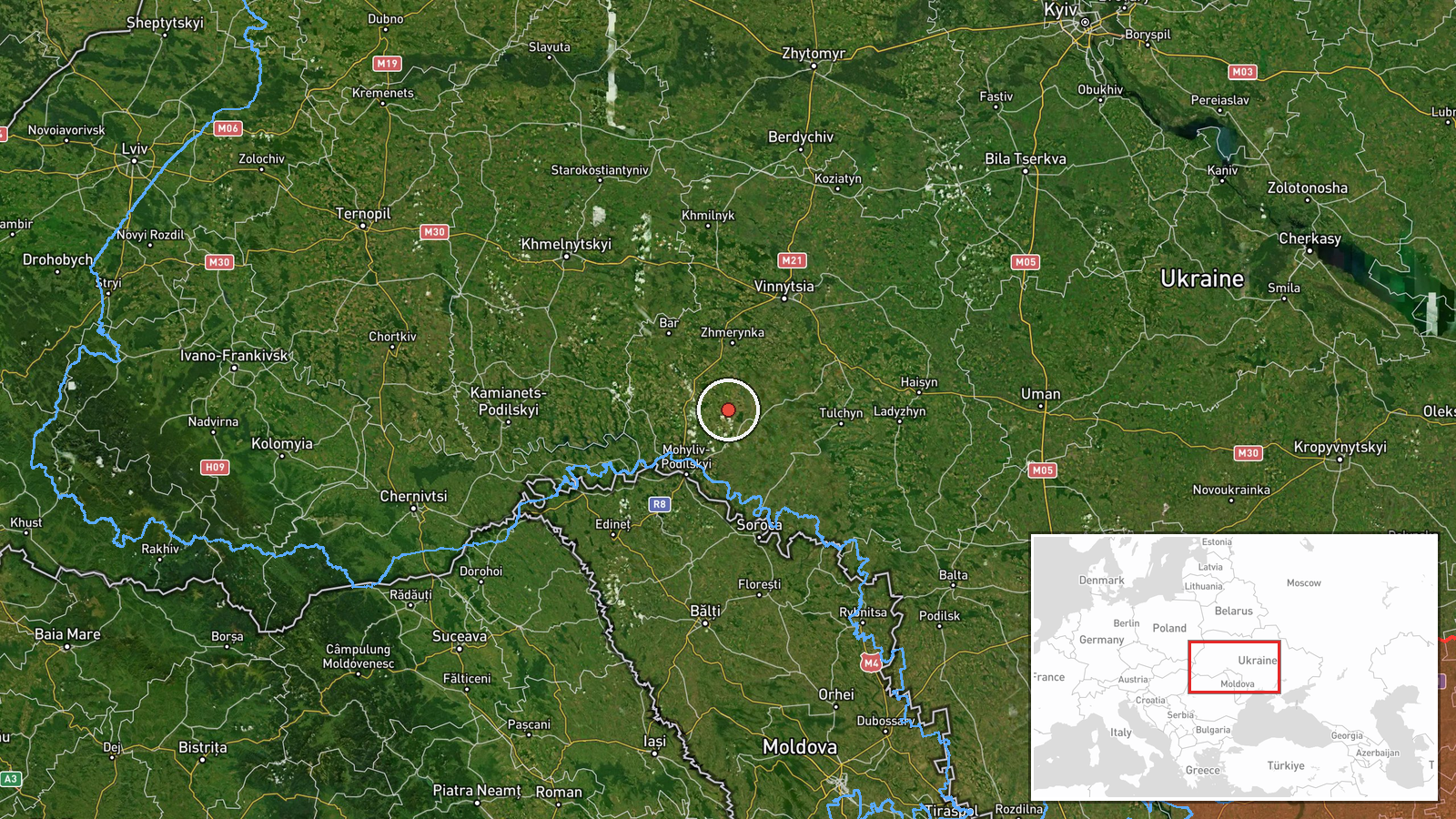
Ukrainian air monitoring reported one Russian Shahed-type drone passing Sharhorod, a settlement in Vinnytsia Oblast, on 17 October 2026 at about 13:59 UTC. The report, posted on the Telegram channel @kpszsu, describes the aircraft as a strike drone moving in a western direction. The original Ukrainian wording, referring to the town as Шаргород, describes it as an attack UAV passing the town toward the west. The message does not mention impacts, casualties, or any damage on the ground. It records only the drone's presence and direction of travel, as relayed by air monitoring.
Context and assessment
Sharhorod sits in the south of Vinnytsia Oblast, a region that has seen repeated drone traffic as Russian long-range strike drones cross central and western Ukraine. The related reports form a sequence. On 16 October, a Shahed-type drone was logged heading toward Zhmerynka, a railway junction in Vinnytsia Oblast, and later that day two or more jet-powered Geran-3 drones were reported toward the same town. Further reports placed single drones heading toward Tomashpil on the evening of 16 October and again on 17 October, the latter describing a Geran-3 coming from Vinnytsia Oblast. On the morning of 17 October a drone was logged passing Kopaihorod heading northwest. Taken together, these reports suggest drones moving through a corridor of Vinnytsia and neighbouring oblasts over roughly 24 hours. Single-aircraft transit reports often reflect routine tracking rather than a planned strike on the named settlement. The pattern may indicate a flight path across the region, but it does not on its own establish a target.
Sources and confidence
The report comes from one source, the Telegram channel @kpszsu, which relays Ukrainian air monitoring messages. No second outlet has been identified in the provided data to confirm the sighting. The confidence score of 8.0 reflects a clear official-style source, a specific settlement, and a consistent pattern of related reports, but it is capped by single-channel sourcing and the absence of independent corroboration. Confidence would rise if a second monitoring channel, regional authority, or a visual or radar confirmation matched the time and direction. It would fall if later updates revised the track, the aircraft type, or the reported location.
Location
The location is recorded at settlement precision, with coordinates centred on Sharhorod, Vinnytsia Oblast, and a high location confidence. The report names the town directly, so the position reflects the settlement rather than a facility or a precise flight point. Sharhorod lies in the southern part of the oblast, in a rolling agricultural landscape typical of the Podillia region. The coordinates place the event within the town itself, and the drone's onward path to the west is described only in general terms.
Related events nearby
- Ukrainian air monitoring: 1 Russian Shahed-type drone passing Kopaihorod, heading northwest.2026-10-17 03:25 UTC · Drone Transit · Kopaihorod, Ukraine
- Ukrainian air monitoring: 1 Russian Shahed-type drone heading toward Zhmerynka.2026-10-16 17:28 UTC · Drone Transit · Zhmerynka, Ukraine
- Ukrainian air monitoring: 2+ Russian jet-powered Shahed (Geran-3) drones heading toward Zhmerynka.2026-10-16 14:31 UTC · Drone Transit · Zhmerynka, Ukraine
- Ukrainian air monitoring: 1 Russian jet-powered Shahed (Geran-3) drone from Vinnytsia Oblast toward Tomashpil.2026-10-17 12:39 UTC · Drone Transit · Tomashpil, Ukraine
- Ukrainian air monitoring: 1 Russian Shahed-type drone heading toward Tomashpil.2026-10-16 21:40 UTC · Drone Transit · Tomashpil, Ukraine
▶ View this event on the live map

Intel Mapper aggregates open-source reports from monitored Telegram and X channels, geolocates them, cross-checks duplicates across sources and assigns a confidence score. Entries are updated as new confirmations arrive. Read how we verify events.