Ukrainian monitors report a jet-powered Shahed-type drone heading toward Berdychiv, Zhytomyr Oblast
What happened
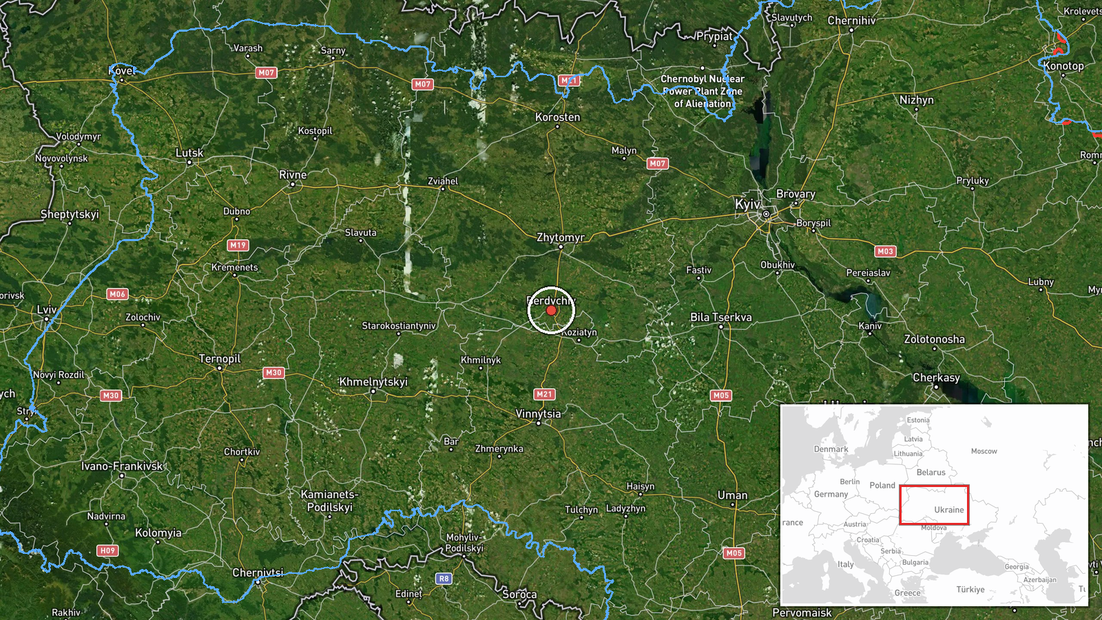
Ukrainian air monitoring channel @kpszsu reported on Telegram at about 02:02 UTC on 18 October 2026 that one Russian jet-powered Shahed (Geran-3) drone was heading toward Berdychiv in Zhytomyr Oblast. The original Ukrainian-language post, headed with a motorcycle emoji and the phrase 'Zhytomyr region: jet-type UAV toward Berdychiv', describes a single unmanned aerial vehicle on a track toward the city. The report names no impact, casualties, or damage. Because the update concerns an aircraft in flight, it describes a transit rather than a confirmed strike. The event is recorded as a single-channel report, and its location reflects the city the drone was reported to be approaching.
Context and assessment
Berdychiv lies in western Zhytomyr Oblast, a corridor that has seen repeated Shahed-type transits in the hours before this report. Related entries on 17 October show a drone passing the Vinnytsia–Zhytomyr border area heading west, another near Kozyatyn, and a further pass through Zhytomyr Oblast, followed by a second Zhytomyr-bound alert on the morning of 18 October. This sequence suggests drones entering from the east or southeast and traveling across the oblast toward the west, a pattern consistent with routes used to reach targets deeper in western Ukraine or to test air defence coverage along the way. The Geran-3 variant is jet-powered, which generally gives it higher speed than the piston-engined Geran-2 and can shorten the warning window for civilians and mobile fire groups. Single-drone tracks like this one are common in long-range campaigns and do not by themselves indicate a specific intended target. Monitoring reports of this kind help local authorities issue air alerts, but they rarely confirm where a drone ultimately falls or detonates.
Sources and confidence
The event rests on one Telegram channel, @kpszsu, which is linked to the Ukrainian Air Force's public monitoring output. No independent outlet or second channel is recorded as confirming the track at the time of writing. The confidence score of 8.0 reflects a credible official-linked source, a specific track description, and a timestamp, but it stops short of higher confidence because the report is single-sourced and describes an airborne object without outcome. Confidence would rise with corroboration from Zhytomyr regional authorities, an air-alert record, or reporting of debris or impact. It would fall if later updates reclassify the track or if the drone's heading changes.
Location
The coordinates correspond to the centre of Berdychiv, a settlement, so the location is taken as the city itself rather than a facility; the high location confidence reflects that match. Berdychiv sits on flat to gently rolling terrain of the Dnipro-Dniester interfluve in western Zhytomyr Oblast, roughly 150 kilometres west of Kyiv. The city is known for its Carmelite monastery and its rail links, and the Teteriv river and surrounding farmland lie nearby. Its position on the route from the east means drones heading west through the oblast may pass close to it.
Related events nearby
- Ukrainian air monitoring: 1 Russian Shahed-type drone heading toward Berdychiv.2026-10-18 02:04 UTC · Drone Transit · Berdychiv, Ukraine
- Ukrainian air monitoring: 1 Russian Shahed-type drone passing Vinnytsia–Zhytomyr border area, heading west.2026-10-17 04:25 UTC · Drone Transit · Vinnytsia–Zhytomyr border area, Ukraine
- Ukrainian air monitoring: 1 Russian jet-powered Shahed (Geran-3) drone passing Zon, heading toward Zhytomyr Ob2026-10-18 02:50 UTC · Drone Transit · Zhytomyr Oblast, Ukraine
- Ukrainian air monitoring: 1 Russian Shahed-type drone heading toward Zhytomyr.2026-10-18 02:04 UTC · Drone Transit · Zhytomyr, Ukraine
- Ukrainian air monitoring: 1 Russian Shahed-type drone passing Zhytomyr Oblast, heading west.2026-10-17 08:00 UTC · Drone Transit · Zhytomyr Oblast, Ukraine
▶ View this event on the live map

Intel Mapper aggregates open-source reports from monitored Telegram and X channels, geolocates them, cross-checks duplicates across sources and assigns a confidence score. Entries are updated as new confirmations arrive. Read how we verify events.