Ukrainian air monitors report one Shahed-type drone heading toward Zhytomyr from the north
What happened
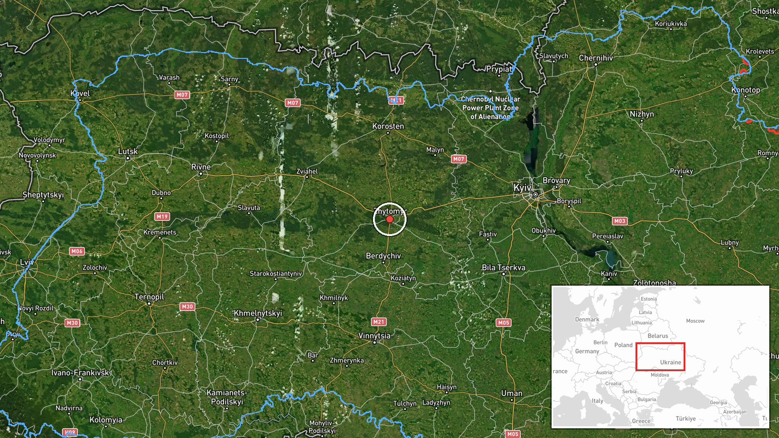
Ukraine's air monitoring channel on Telegram, @kpszsu, reported one Russian Shahed-type drone on a course toward Zhytomyr from the north. The original Ukrainian post called it a strike UAV heading for Zhytomyr from the north. The alert is logged at 02:04 UTC on 18 October 2026. The source material contains no report of impact, casualties or damage. The entry is classified as drone transit, which means it concerns an aircraft in flight rather than a confirmed strike. Other entries at the same timestamp place single drones near Korostyshiv and Berdychiv, and earlier entries on 17 October describe drones passing through Zhytomyr Oblast heading west.
Context and assessment
Zhytomyr is the administrative centre of the oblast, sits on the main road and rail corridors linking Kyiv with western Ukraine, and hosts industrial and military-related infrastructure. Its position makes it a natural waypoint for drones moving between the northern approaches and western regions. The related entries show a dense sequence over roughly 24 hours. On 17 October, one drone was reported passing Zhytomyr Oblast heading west at 03:37 UTC, a jet-powered Geran-3 variant was reported heading toward Zhytomyr at 04:15, and another drone passed the oblast heading west at 08:00. The 18 October entries then place single drones toward Korostyshiv and Berdychiv from the Kyiv Oblast direction. This pattern may indicate routing along a northern and central corridor, or a sequence of individual aircraft probing or moving through the area. Transit reports alone do not establish the intended target, and the cluster could reflect either deliberate routing or sensor-driven alerts for aircraft in transit.
Sources and confidence
The report rests on a single channel, the Telegram account @kpszsu, with a source count of one. Its confidence score of 8.0 reflects the official nature of the channel, the specific format of the alert, and the consistency of the related entries with earlier reporting in the same area. No independent cross-confirmation appears in the data, and no local official, other monitoring body or media outlet is cited. Confidence would rise with corroboration from regional authorities, a second monitoring source, or reports of sounds, interceptions or debris in Zhytomyr. It would fall if later updates retracted the track, redirected it elsewhere, or if the entry were corrected.
Location
The location is recorded at settlement level, using central Zhytomyr coordinates at about 50.25 north and 28.66 east, with high location confidence. Zhytomyr lies west of Kyiv on the Teteriv River, in the Polissia lowlands of northern Ukraine. The surrounding terrain is largely flat, with forests, wetlands and river valleys. This setting shapes flight paths and makes low-altitude drone tracks difficult to observe from a distance.
Related events nearby
- Ukrainian air monitoring: 1 Russian jet-powered Shahed (Geran-3) drone passing Zon, heading toward Zhytomyr Ob2026-10-18 02:50 UTC · Drone Transit · Zhytomyr Oblast, Ukraine
- Ukrainian air monitoring: 1 Russian Shahed-type drone passing Zhytomyr Oblast, heading west.2026-10-17 08:00 UTC · Drone Transit · Zhytomyr Oblast, Ukraine
- Ukrainian air monitoring: 1 Russian jet-powered Shahed (Geran-3) drone heading toward Zhytomyr.2026-10-17 04:15 UTC · Drone Transit · Zhytomyr, Ukraine
- Ukrainian air monitoring: 1 Russian Shahed-type drone passing Zhytomyr Oblast, heading west.2026-10-17 03:37 UTC · Drone Transit · Zhytomyr Oblast, Ukraine
- Ukrainian air monitoring: 1 Russian Shahed-type drone from Kyiv Oblast toward Korostyshiv.2026-10-18 02:04 UTC · Drone Transit · Korostyshiv, Ukraine
▶ View this event on the live map

Intel Mapper aggregates open-source reports from monitored Telegram and X channels, geolocates them, cross-checks duplicates across sources and assigns a confidence score. Entries are updated as new confirmations arrive. Read how we verify events.